Jakarta from Prague: fly to Java, Indonesia, with Etihad, including peak season
584 €


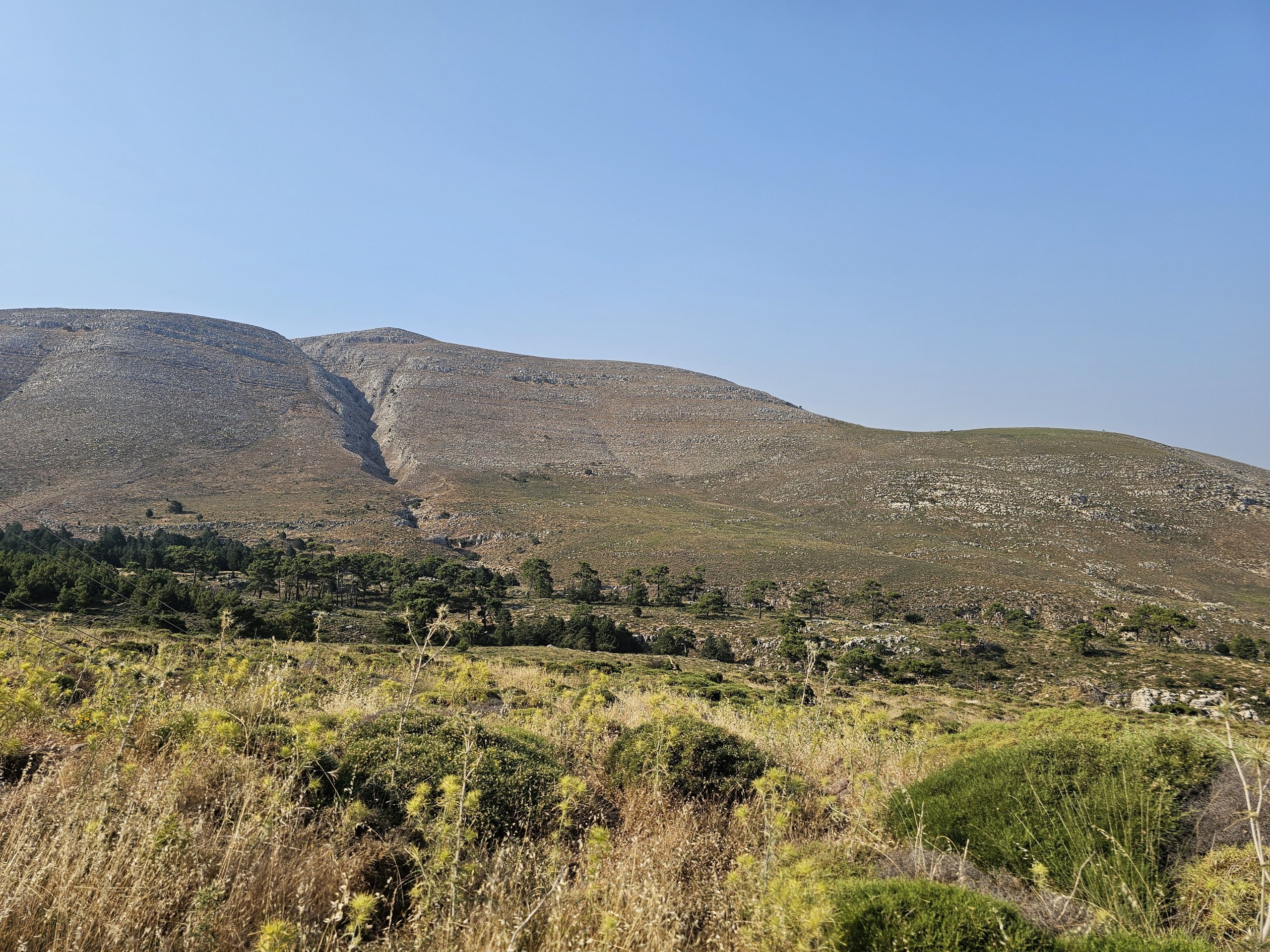
Rhodes is not a place for lovers of hills and beautiful views either. The highest mountain on Rhodes, the 1,215-metre-high Atavyros (sometimes spelled Attavyros or even Ataviros), is ideal for this purpose.
You can walk to the top, but you can also drive to the top.
At the top of Mount Atavyros, you'll find nothing but a military radar and an unmaintained archaeological site. Just a breathtaking 360° view of the whole of Rhodes.
The only official hiking route leads from the picturesque village of Emponas from about 450 meters above sea level. And that means an elevation gain of almost 800 metres, which is a lot for untrained travellers!
The path is circular, so you can take a slightly less steep route up than down, but even so the distance is short and the elevation gain brutal.
The trail is also poorly marked, and since only units of hikers a week come here, it's often not well trodden.
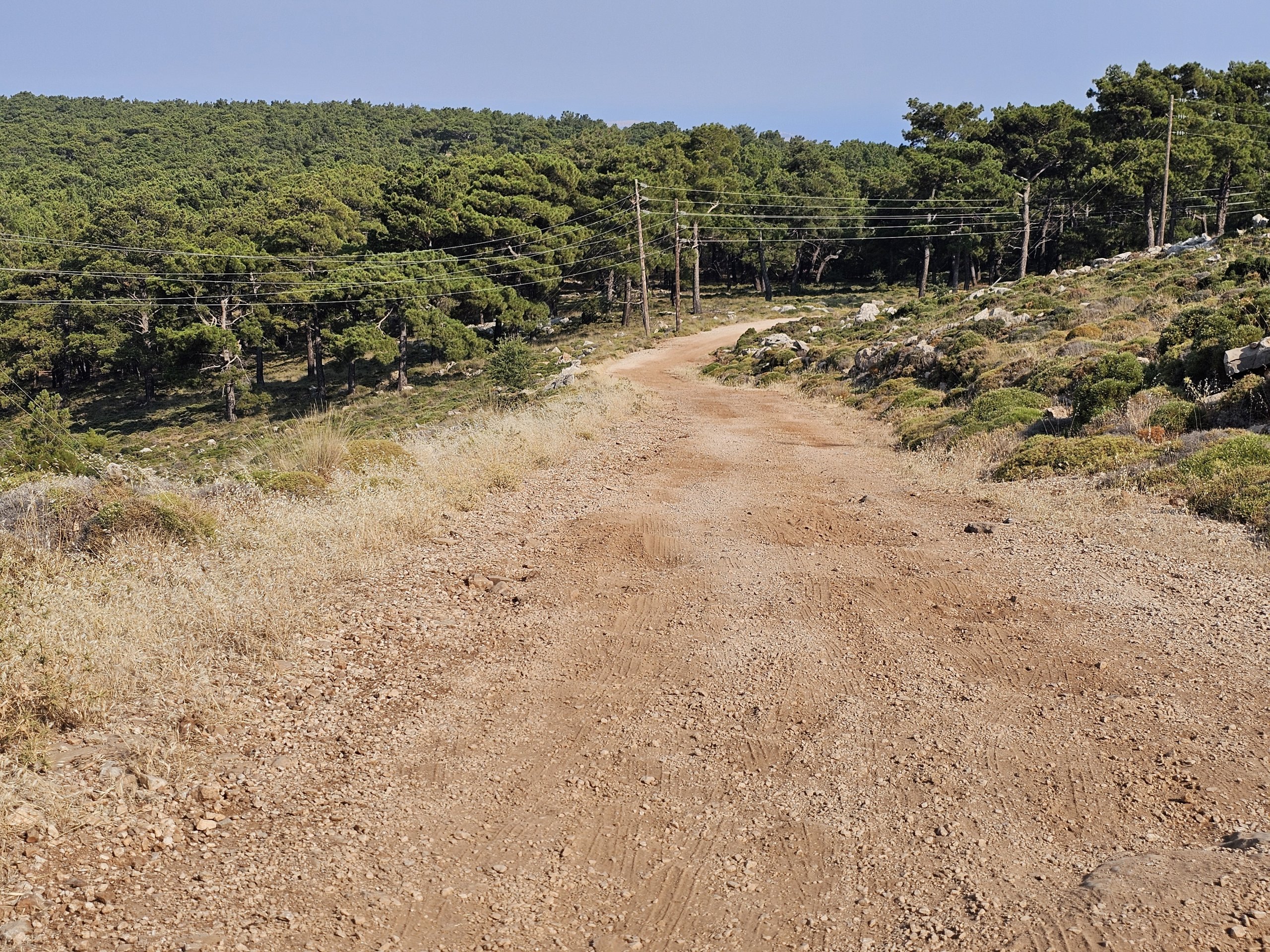
Much of the trail is over rocky rubble, so good hiking boots are a must!
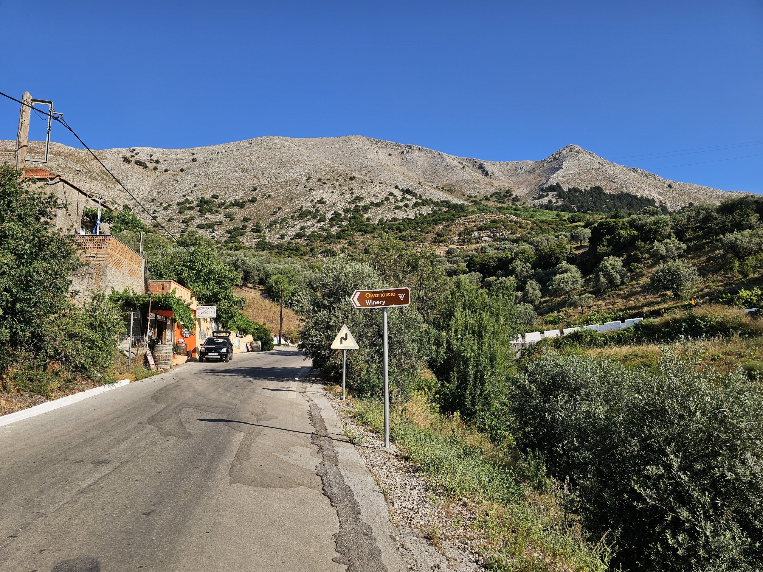
If you are driving from the north of Rhodes town, pass the village of Kritnia, continue on. You will first pass the first signpost on the left for the village "Empona", pass this and continue on.
When you reach the second sign marked "Emoona left", turn off and take the road up, not the second road down. The turn off the main road is at this exact spot.
Although you will be enticed by a nice new tarmac road for the first part of the journey, most of the route is a gravel road often with large stones and the road is very difficult for smaller cars to negotiate.
Discover all the places to see in Rhodes.
If you have any questions or comments about the article...