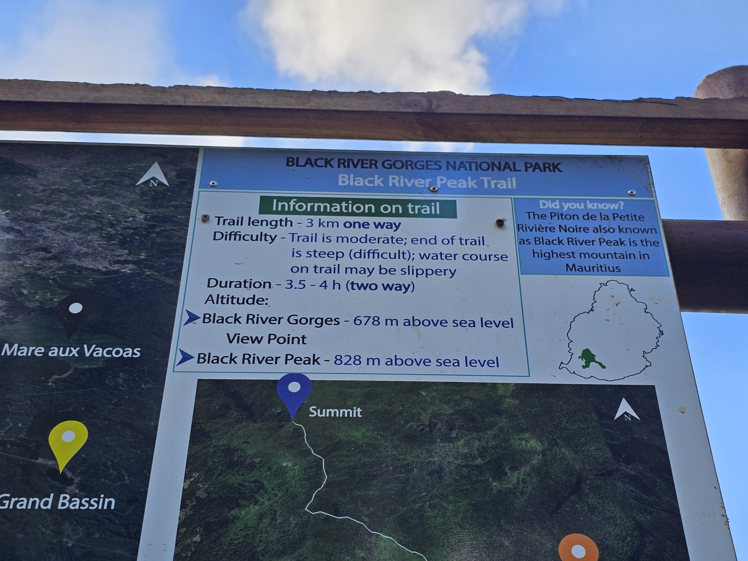
The highest mountain in Mauritius, Piton de la Petite Riviere Noire, rises to a height of 828 metres and is often referred to in English (even on official signs) as Black River Peak.

Compare car rental prices in Mauritius

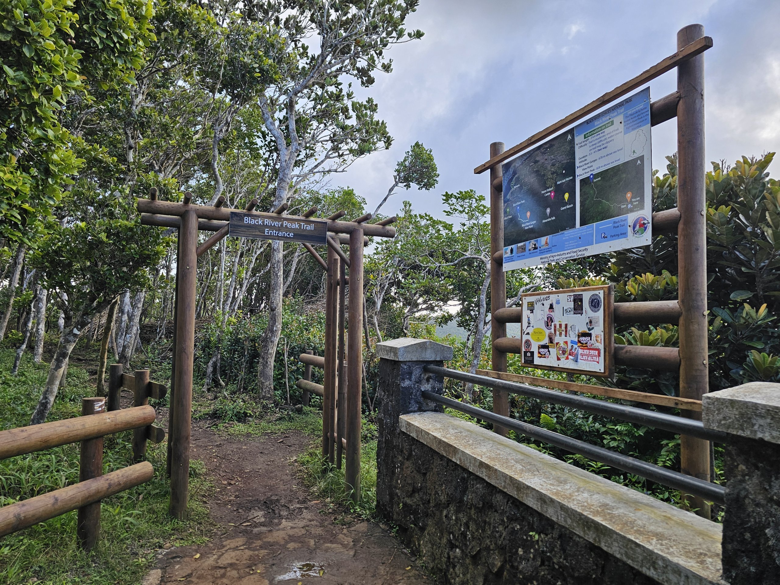
There are footpaths leading up to the iconic peak on three sides, with one side being relatively comfortable and manageable for less-trained hikers.

The hike up Mauritius' highest mountain

There are 3 routes to choose from - from the east, west and north.

  • From Gorges Viewpoint - the easiest route with the least elevation gain
    • Route map
    • 7 km (there and back in total) / approx. 2.5 hours
    • approx. 200 m elevation gain
  • from the Black River Gorges NP visitor centre - a popular and beautiful route that takes you through several different habitats
    • Route map
    • 9 km (round trip total) / approx. 5 hours
    • elevation gain approx. 700 metres
  • from the village of Chamarel - the steepest and least marked route
    • Route map
    • 7.5 km (round trip total) / approx. 4 hours
    • elevation gain approx. 510 metres

What to see around

Discover all the places to see in Mauritius.

This article may contain affiliate links from which our editorial team may earn commissions if you click on the link. See our Advertising Policy page.

Any questions left?

If you have any questions or comments about the article...

0 comments

Sign in to Cestee

... the worldwide travel community

Continue with Facebook

Do not have your travel account yet? Sign up