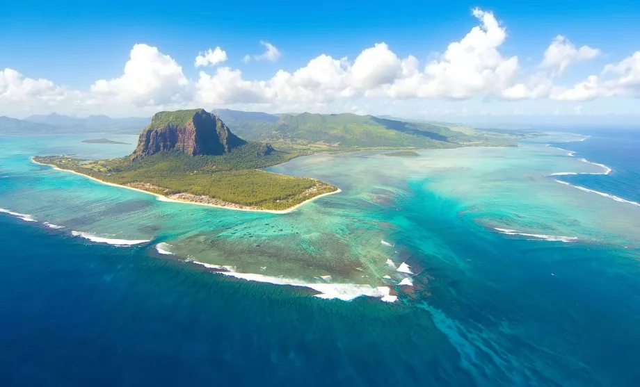
Map and geography of Mauritius

Find out where Mauritius is on the map. What does a road map of Mauritius look like or where can you find interesting places to see?
Find the best beach resorts in Mauritius
Location of Mauritius
The island of Mauritius lies in the Indian Ocean and is an independent state.
The nearest other states and islands are:
- Reunion - 230 km to the southwest
- Seychelles - 1 750 km to the north
- Australia - 5 700 km to the east
- India - 3 800 km to the north-east
- Madagascar - 1 000 km to the west
Maps of tourist attractions
Where can you find the best beaches in Mauritius or interesting sights? Simply take a look at our map of top tourist spots:
If you're planning on hiking or cycling, the online hiking trail maps will come in handy and of course there's no shortage of accommodation and hotel maps:
Map of Mauritius online
Mauritius in numbers
At the end of this chapter, we also present interesting geographical records of Mauritius.
- The highest mountain - Piton de la Petite Rivière Noire (828 m above sea level)
- Longest river - Grand River South East / GRSE (25 km)
- Length of coastline - 330 km
Any questions left?
If you have any questions or comments about the article...

