Business Class from Warsaw to Thailand, South Korea and other destinations during the holidays
1 296 €


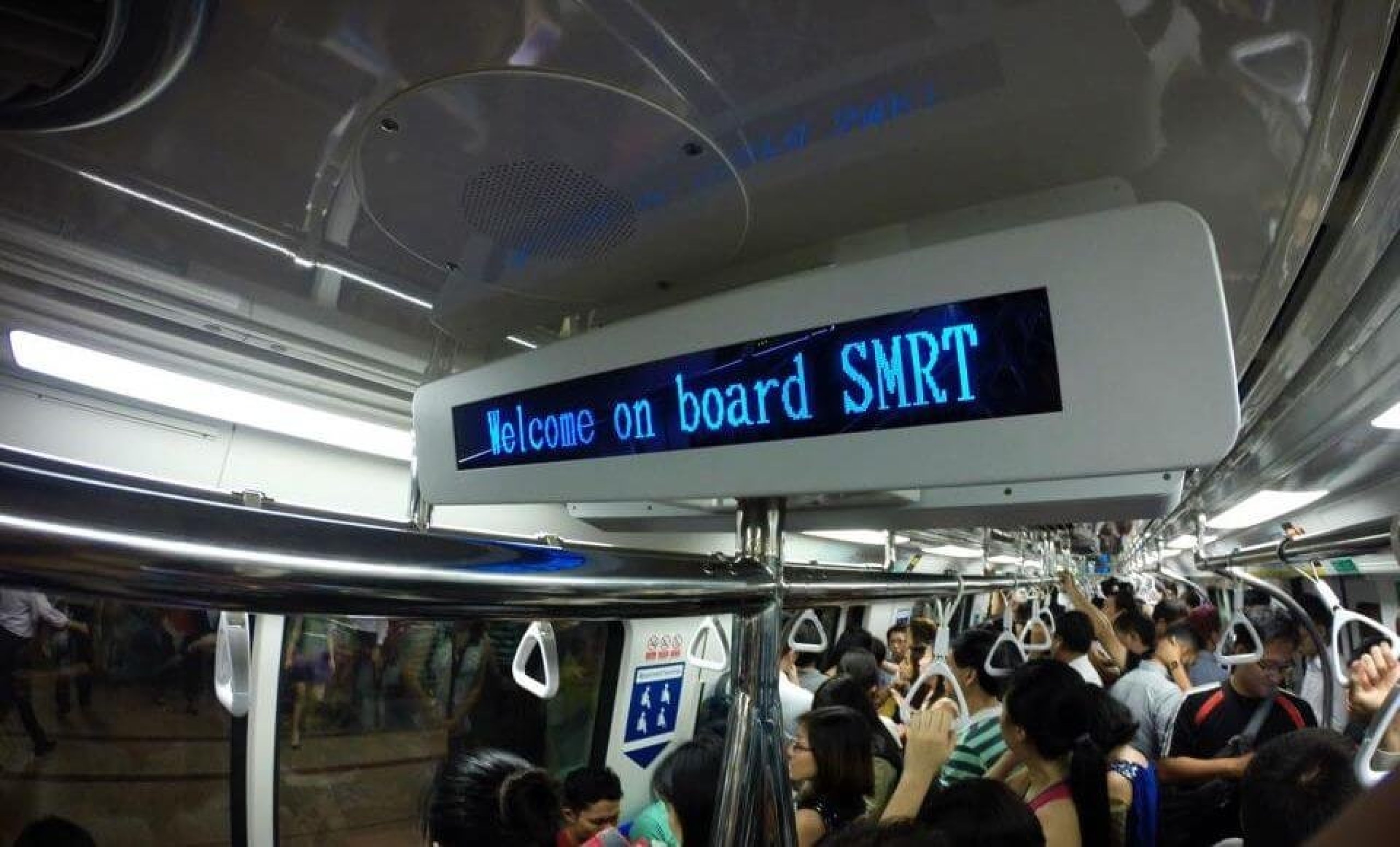
The MRT (Mass Rapid Transit) Metro is the fastest and most convenient mode of transport around Singapore. The network covers most of the city and most tourist spots are within walking distance of a station.
Official SMRT website: death.com.sg
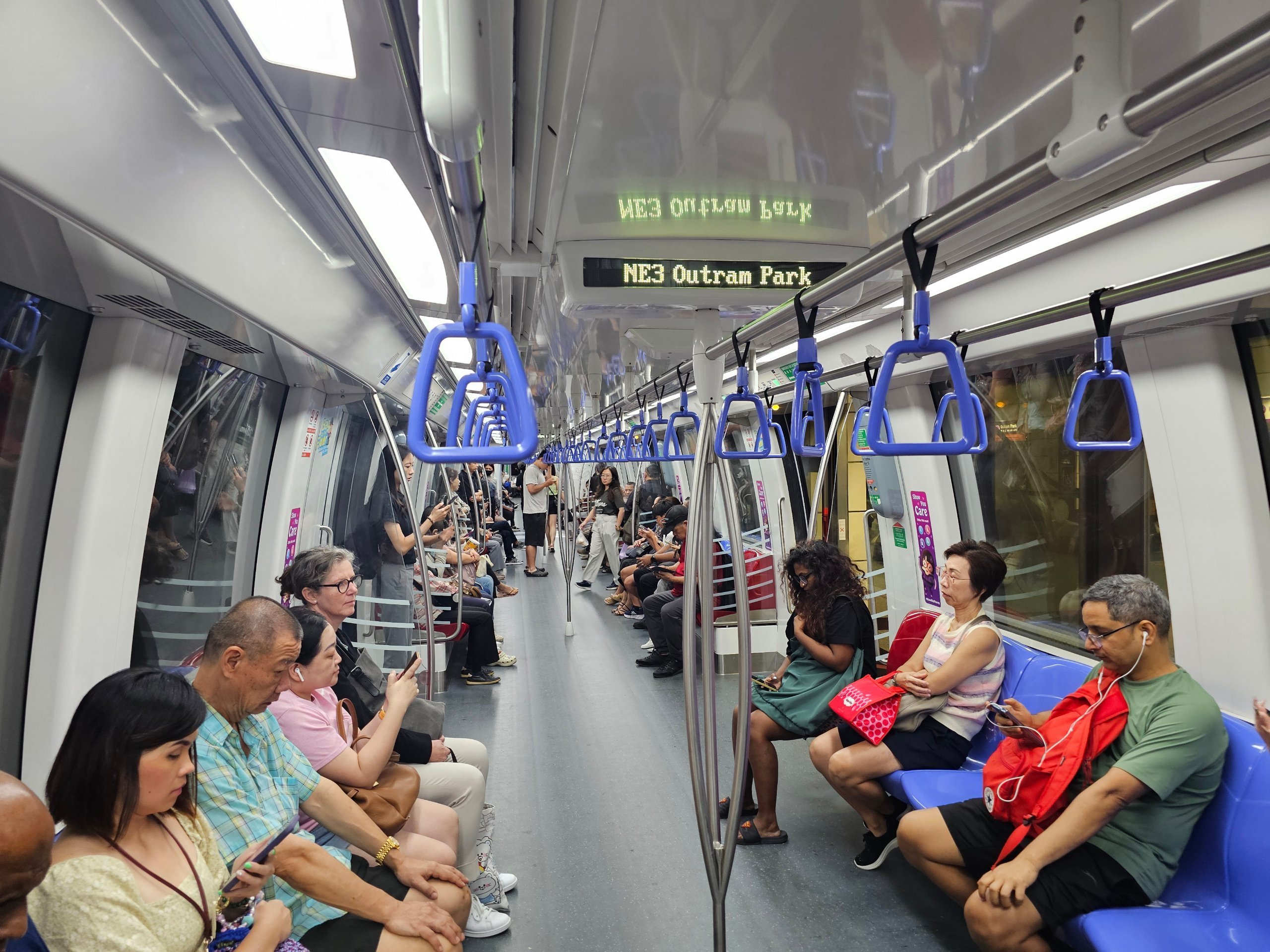
Trains are air-conditioned, clean and run at short intervals. The metro is therefore used by most locals and visitors.
If you plan to visit more than one part of the city during your stay, the MRT will probably be your main mode of transport.
You can also find a more detailed overview of all modes of transport (buses, taxis, Grab) in the Transport in Singapore chapter.
Show hotels in Singapore by rating
The metro is the best option for most journeys around the city.
✅ Ideal for:
⚠️ Less suitable for:
💡 Alternative:
Buses often supplement the metro in areas where the tracks don't go. In the evening or for shorter routes, taxis or Grab/Gojek apps can be convenient.
Here it's very simple. You don't have to deal with any tickets at all.
You just need
Simply place your card or mobile phone at the turnstile when entering and exiting the station.
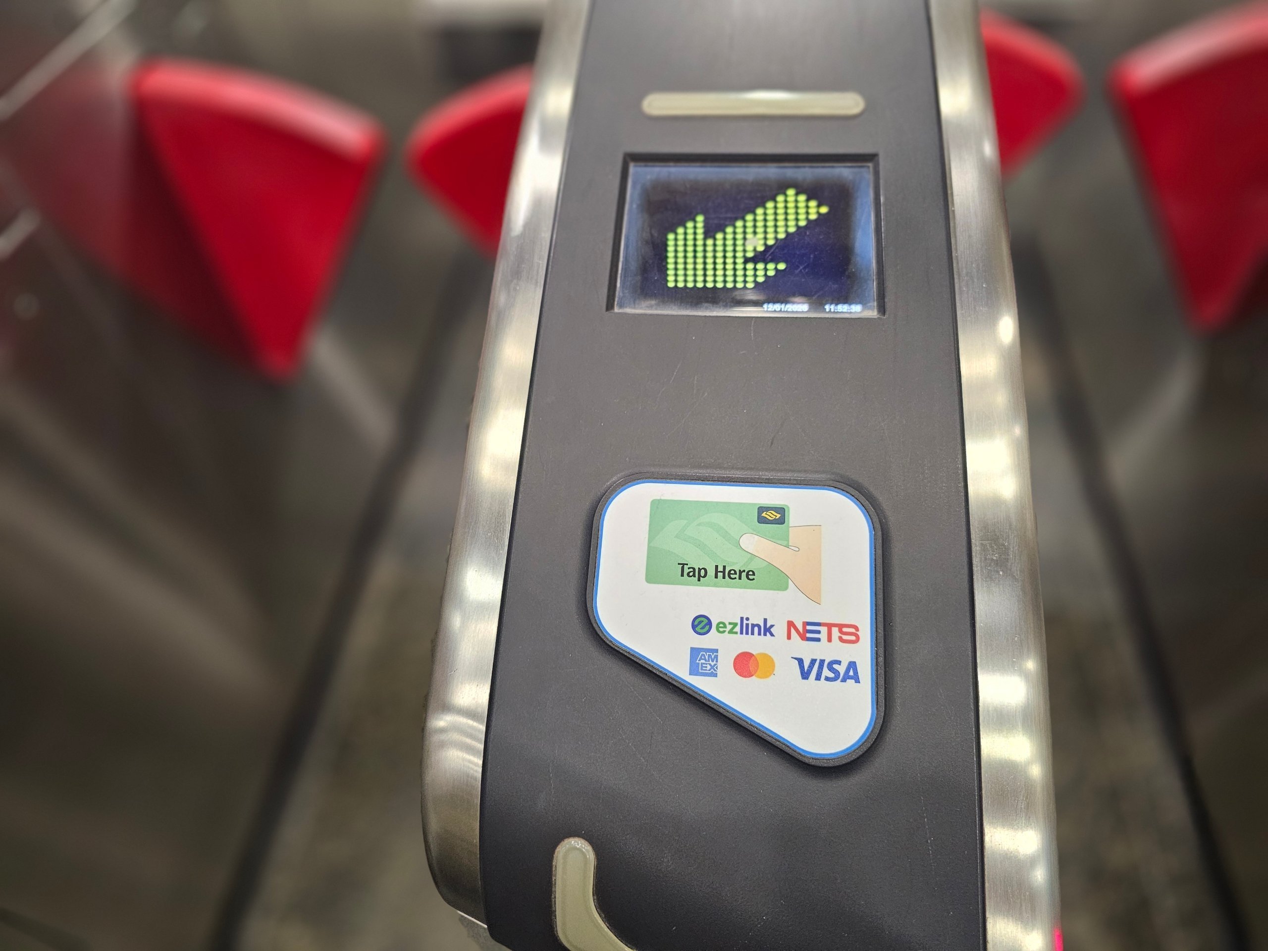
I've routinely paid fares with my Revolut card and the payment has always been seamless.
Ticket prices are calculated according to the distance travelled.
Honestly: mostly no.
It's only worth it if you drive a lot, see the Transport section.
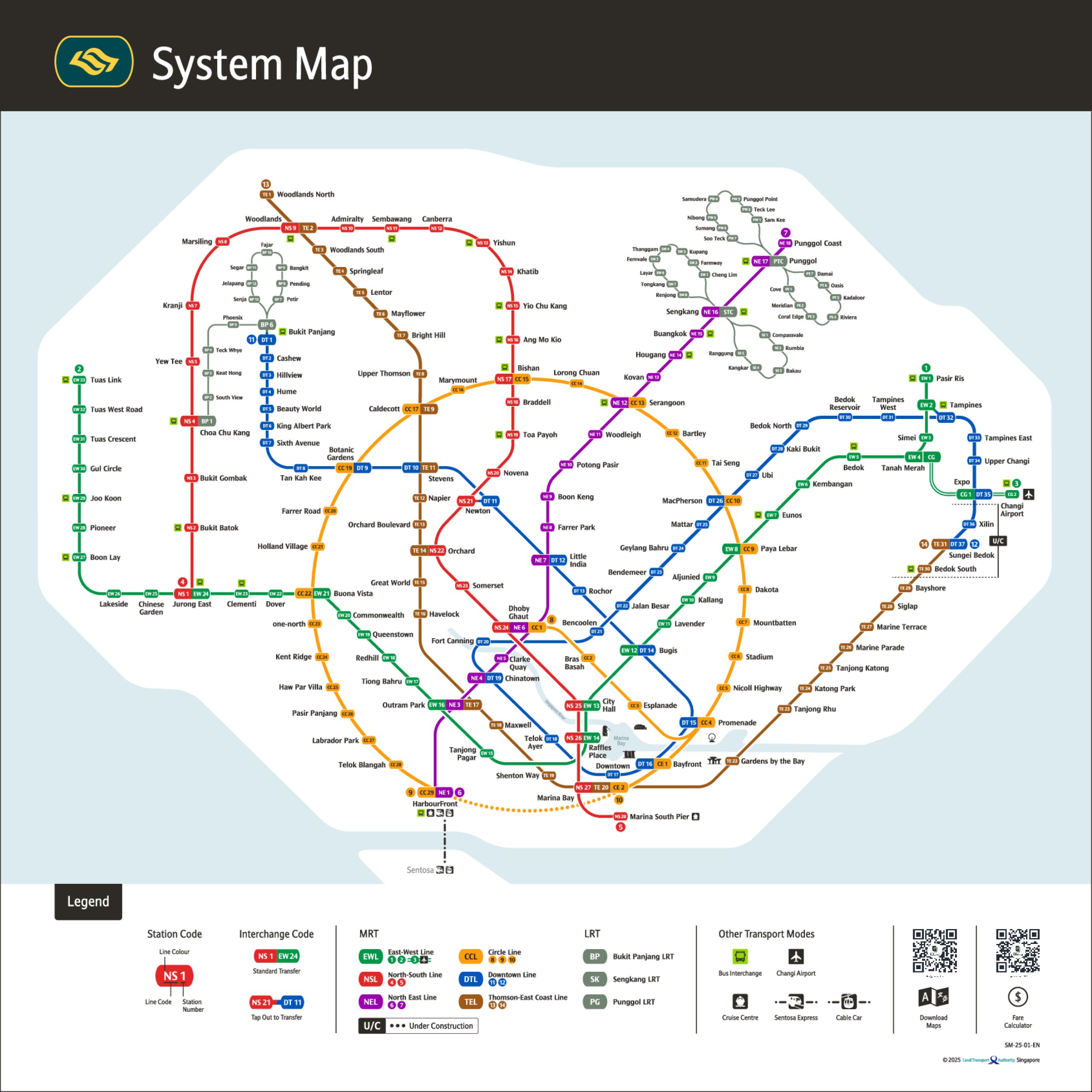
The MRT map is the easiest way to navigate the system. Each line has its own colour and number, and transfers between lines are clearly marked.
The map also shows which stations are closest to major attractions.
Typical examples:
If you plan to visit more than one place during the day, it's worth checking the subway map before you leave.
Preferably via Google Maps.
In Singapore, the search works well and will give you a bus connection in addition to the metro if it's faster.
Stay online - get a Singapore eSIM with data
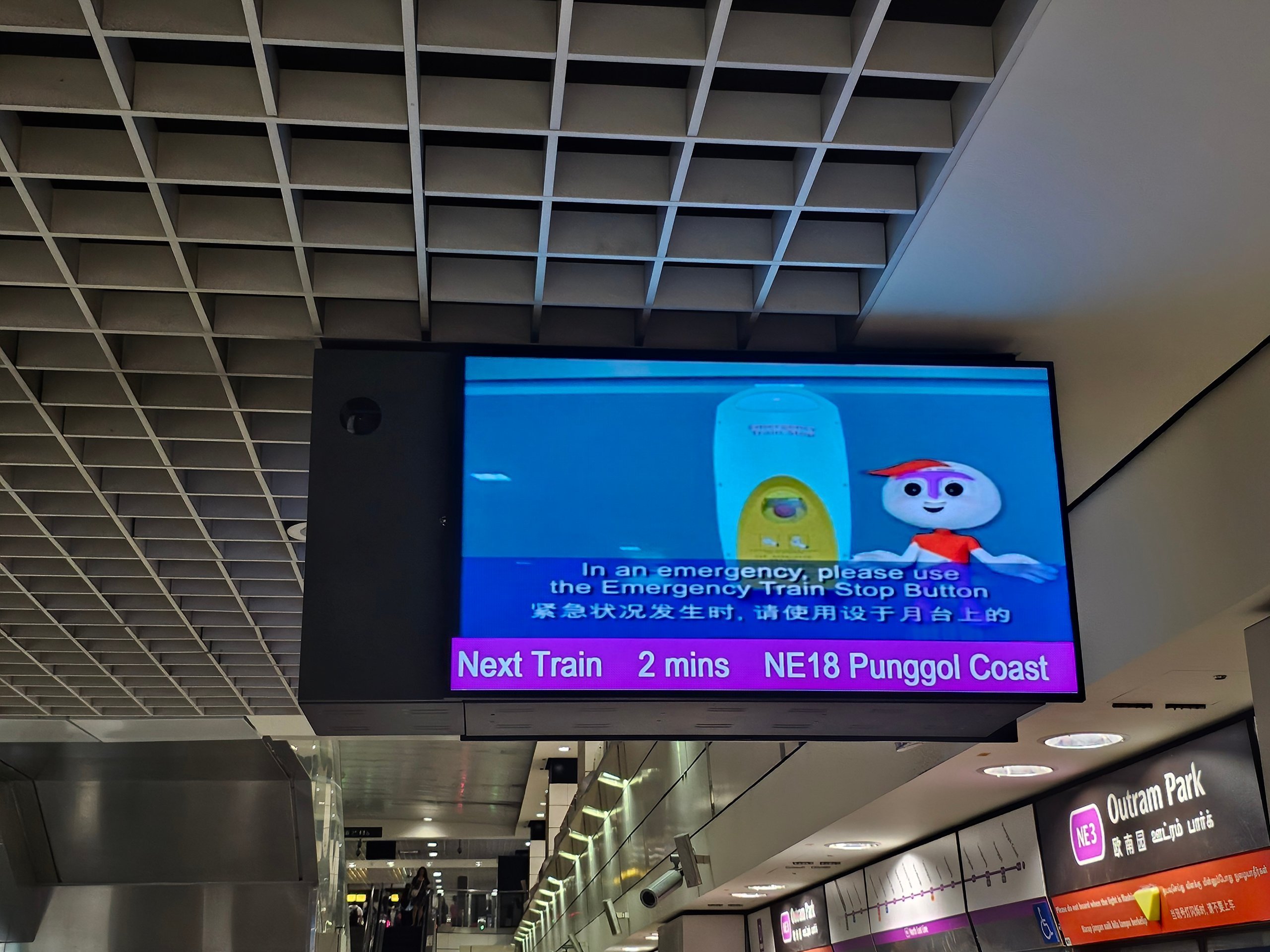
Singapore's metro runs at roughly 4-7 minute intervals.
The first metro trains from central stations run at about 6:00.
The last trains leave the city centre just before midnight.
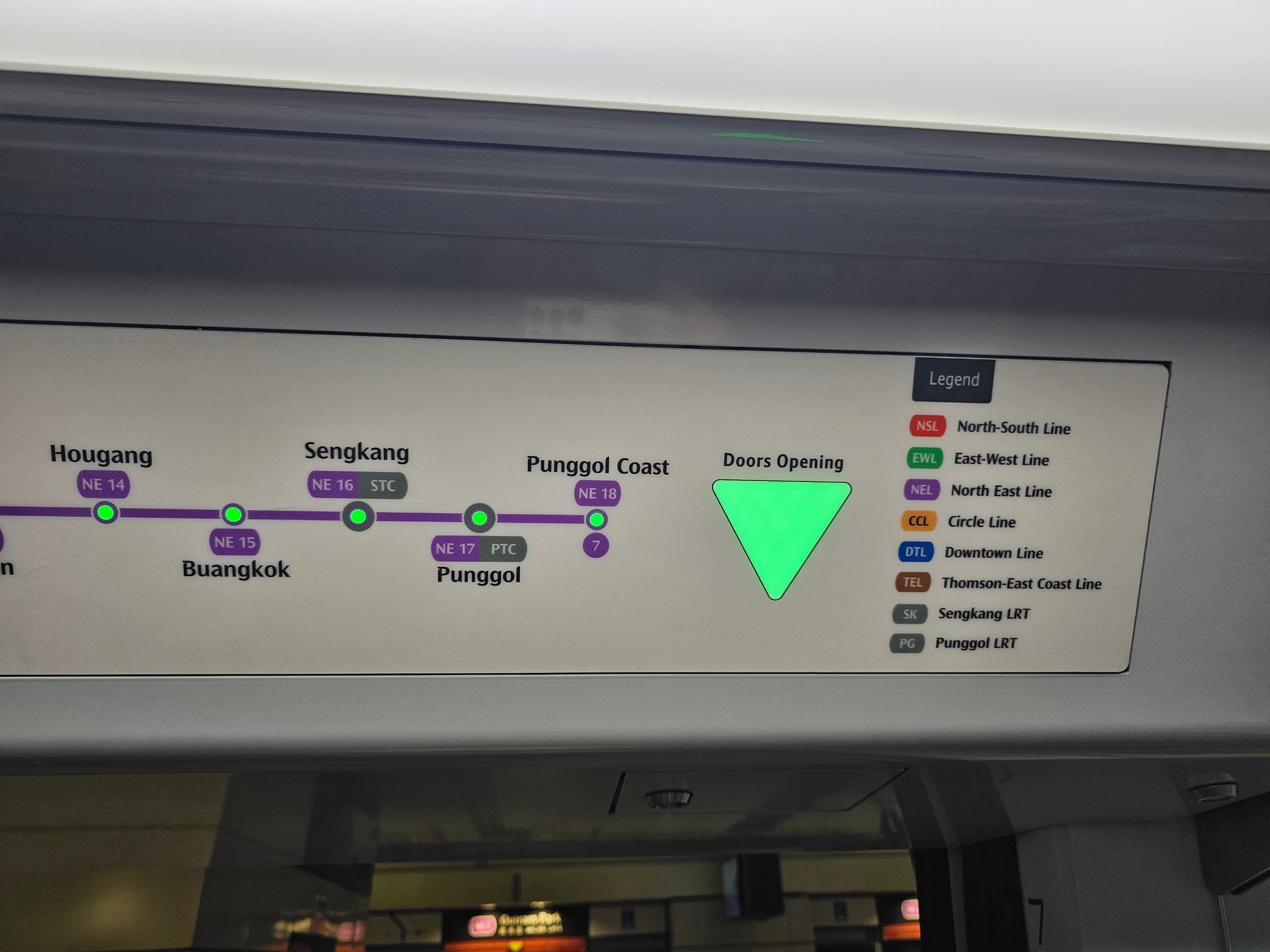
The MRT network consists of several main lines.
Each has its own colour and name. The individual stations all have a number and two letters corresponding to the name of the line on which the station is located.
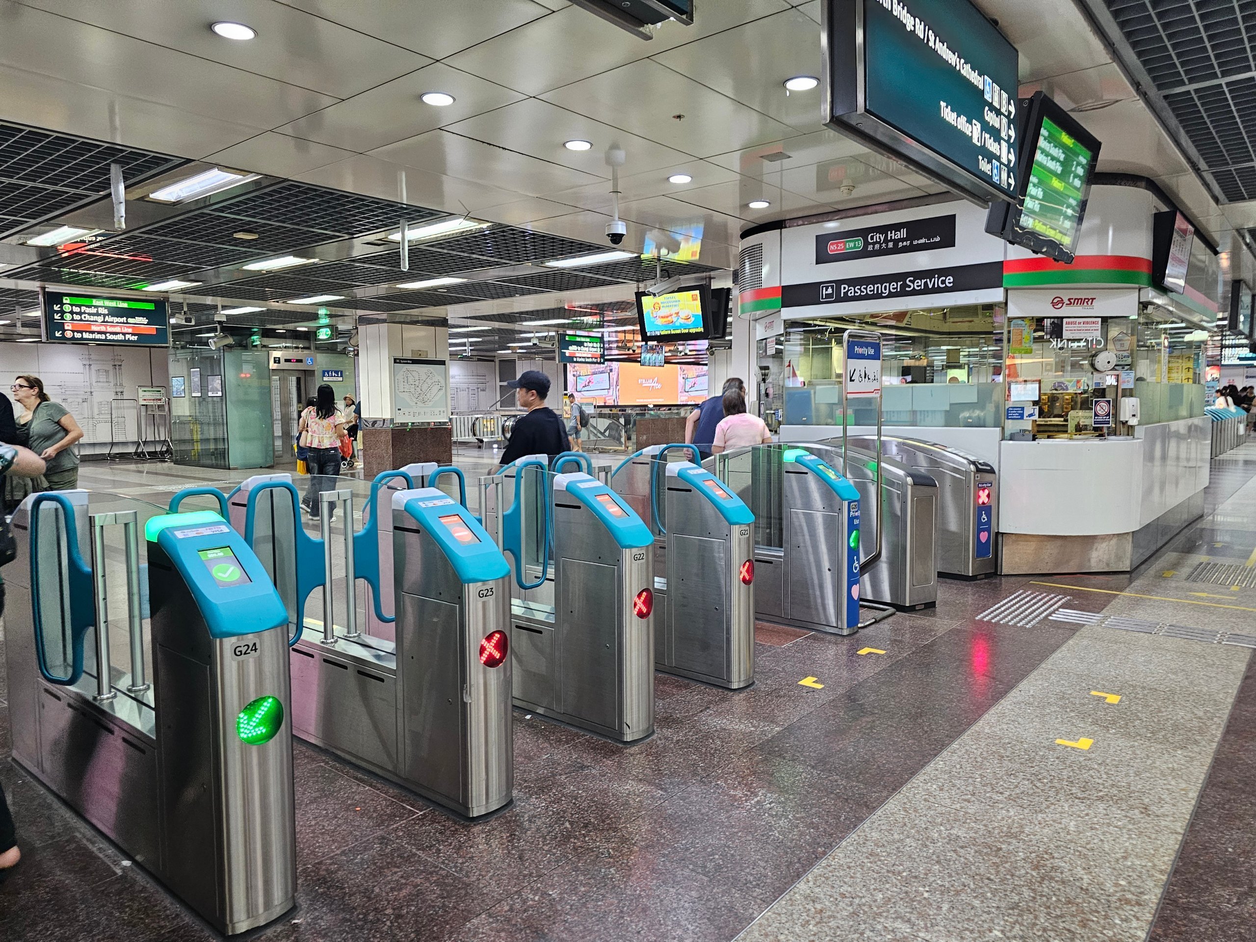
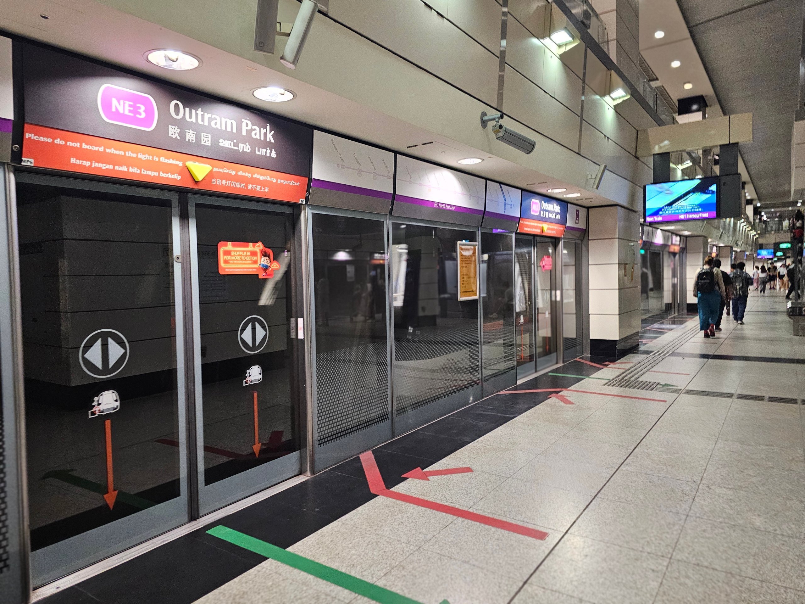
Singapore has a very modern and clean metro network. The stations are clearly signposted, it's just a good idea to find out which direction you're going beforehand.
The platforms are labeled with the end station on that line.
Metro stations usually have small mini-markets like 7-Elevens, and occasionally drink machines and EZ-Card machines, but you won't really need one since you can pay the fare with your own contactless card.
There are usually no toilets at metro stations.
If you have any questions or comments about the article...