
Autumn in Calabria from Bratislava
30 €



Although, when viewed from a great distance, it appears that the island of Pico is dominated by a single, enormous mountain – Pico – in reality, the entire centre of the island is mountainous, right up to its easternmost tip.
And this mountain range is not made up of just any old hills, but of mountains reaching heights of over 1,000 metres above sea level.
The centre of the island is completely desolate, uninhabited and subject to very harsh climatic conditions. However, the ever-present cow pastures extend even into the higher elevations, so you certainly won’t be completely alone here.
The 10 best places to stay on Pico
A mountain ridge over 20 km long is formed by former volcanoes, whose craters are now filled with lakes of varying sizes.
On the mountain peaks, you’ll find over 40 lagoons of various shapes. Some are visible directly from the road, whilst others are completely inaccessible.
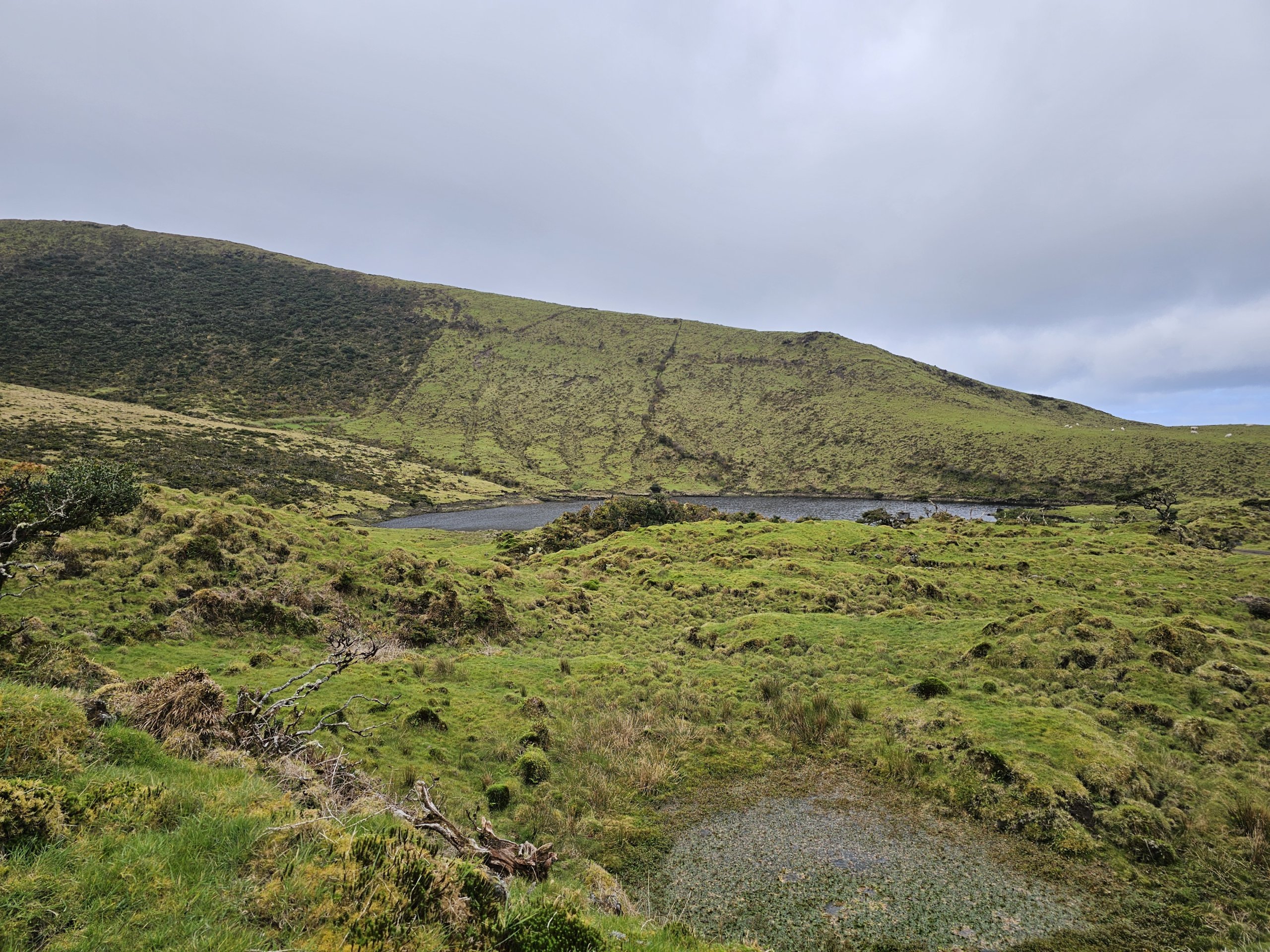
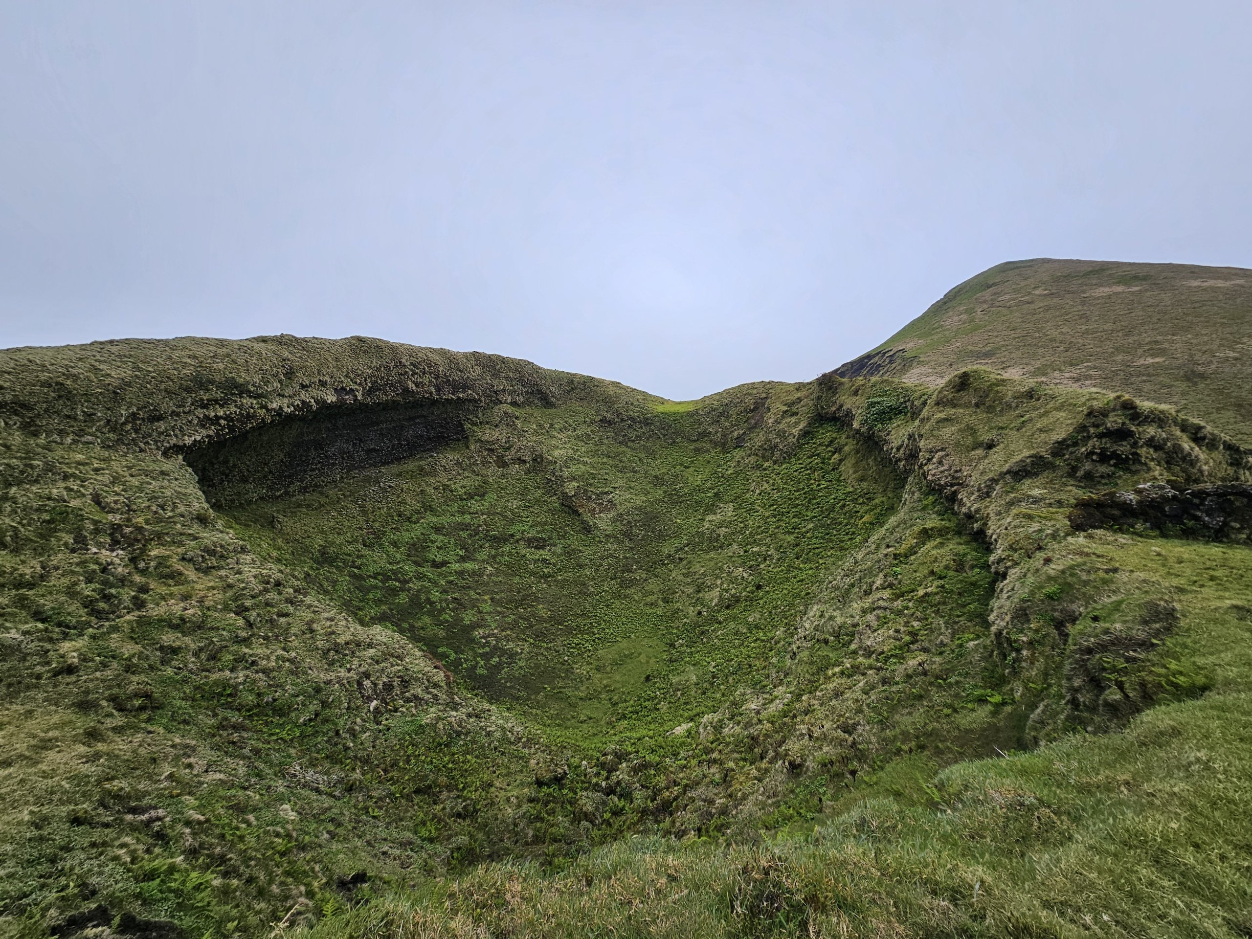
A narrow tarmac road known as the “Estrada Transversal” winds its way between the mountain peaks and the lagoons. This name is used particularly when travelling by car to the central part of Pica.
The road is passable for all types of car, but you must be prepared for frequent potholes, bends and very steep sections. Warning! Do not turn off the main road onto any side roads, such as the one leading to the town of Piedade. These sections are impassable for ordinary cars, even though at first glance they look similar to the main “Estrada Transversal”.
View a map of the most passable route.
If you’re walking, there’s a signposted hiking trail called the “Caminho das Lagoas” running alongside the entire road.
Although the walking trail follows the road the whole way, there is very little traffic here. On average, you’ll come across 4–5 cars carrying tourists and 1–2 cars driven by local farmers every hour.
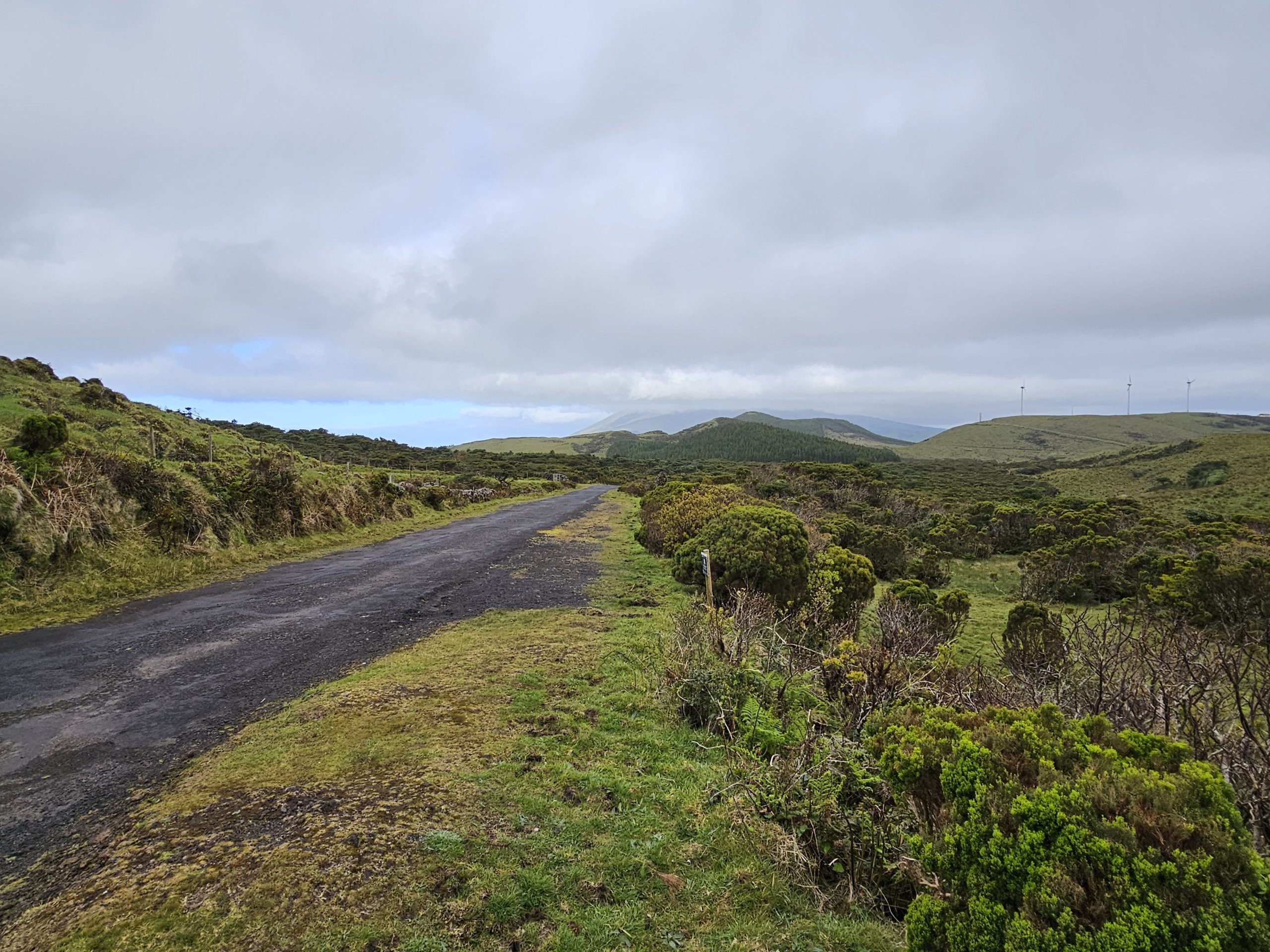
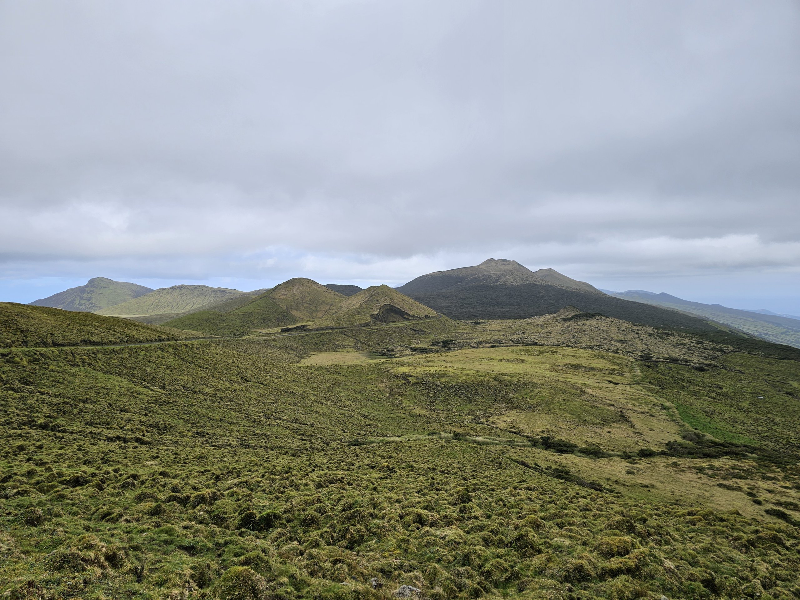
The Caminho das Lagoas forms part of the signposted PR19PIC trail, which runs from the village of Ribeirinha to the crossroads right in the centre of the island. To get back to civilisation, you must continue along the signposted routes PR2PIC or PR13PIC to the town of São Roque.
The route is approximately 30 km in total and, due to the significant elevation gain, takes between 8 and 10 hours to complete.
However, as the route follows the road the whole way, it is manageable without major difficulties even for travellers of average fitness.
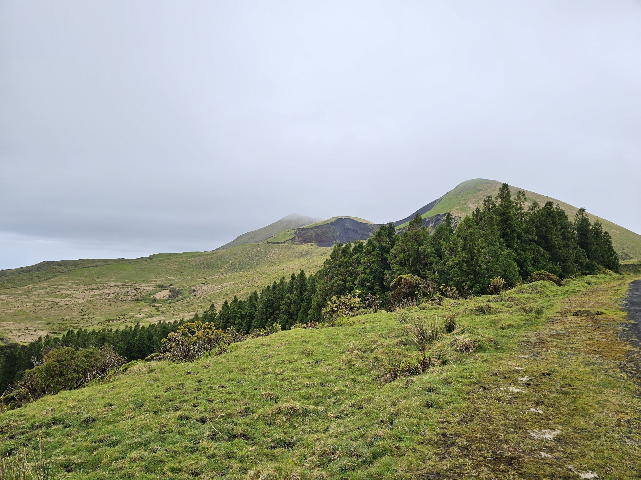
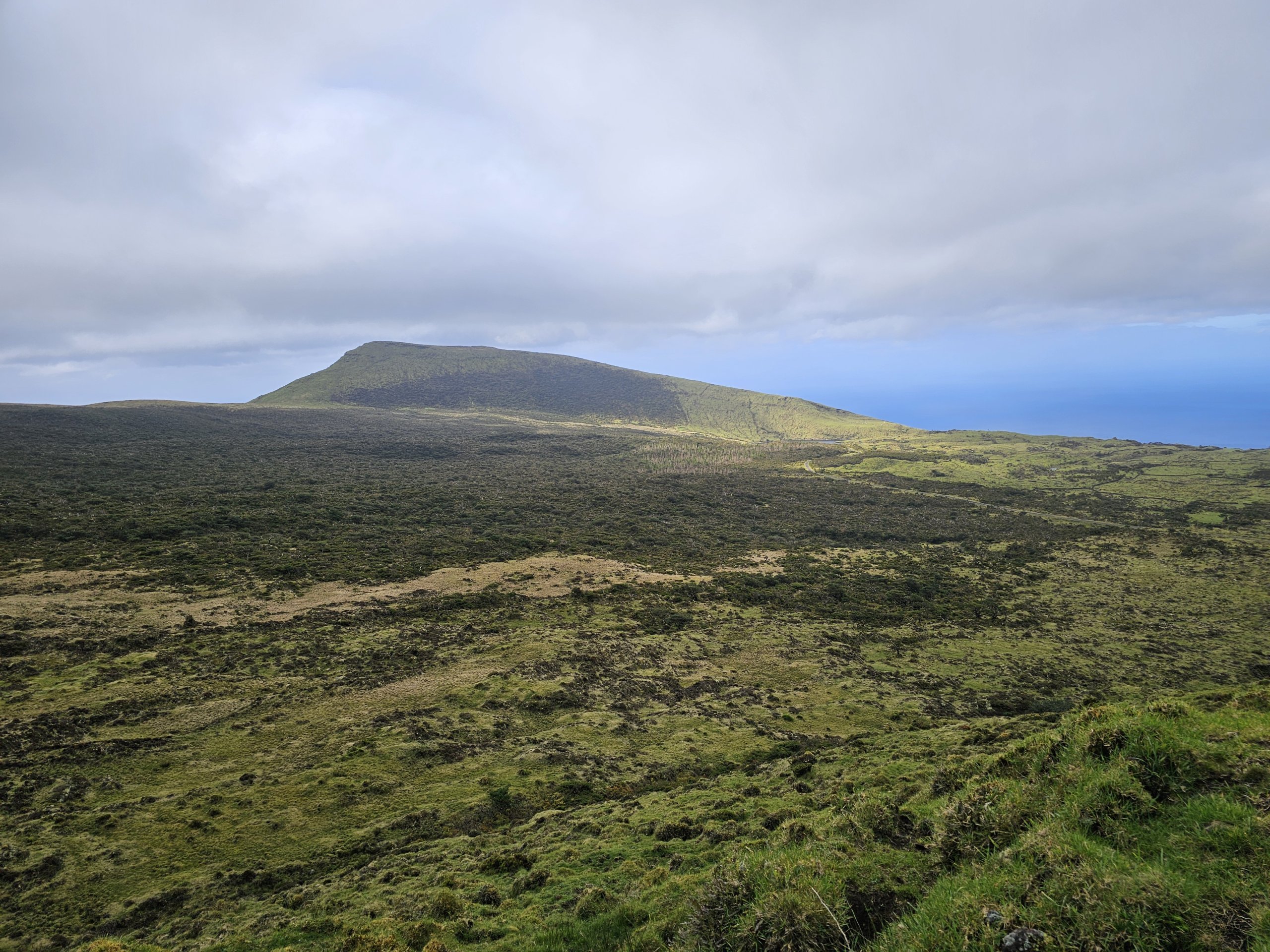
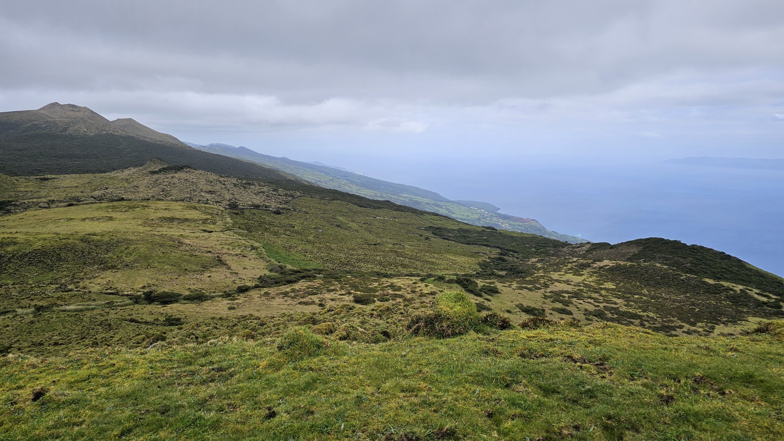
Due to the unique shape of Pico Island, wind currents collide almost every day in the central mountain range, crashing into the mountains and creating consistently poor weather.
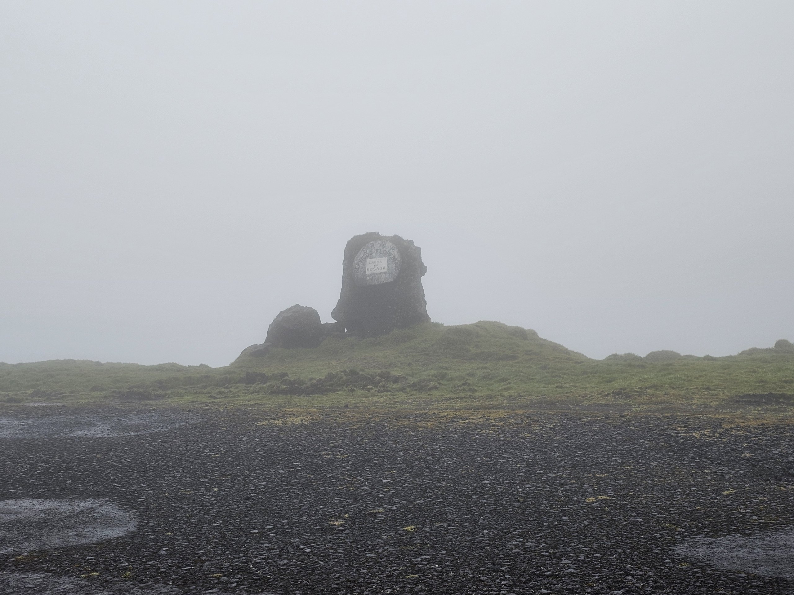
It’s only sunny on the Caminho das Lagoas for a few days a month; you’re far more likely to encounter thick fog, when visibility is no more than 50 metres.
If the clouds rise to at least 850 metres, that’s enough for you to enjoy some lovely views, albeit often accompanied by rain.
Discover all the places to see in Pico.
If you have any questions or comments about the article...



hey nice info! would you say I can do like only a portion of it? I have about 2-3 hours only in the morning and wanted to take a look at some lagoons. Maybe get to Lagoa dos caiados and walk back?
Hi, it is certainly possible to go only part of the way, but you always have to go back the same way.
In fact, I personally didn't like walking the Caminho das Lagoas very much. More likely to drive through it, stopping occasionally and taking a short walk away from the road.
On foot, you'll be walking the entire time on an asphalt road. Yes, there's not much traffic, but I rather liked the northeast coast more for walking.