Etihad Airways now flies from Gothenburg: cheap flights to Thailand and Singapore
515 €



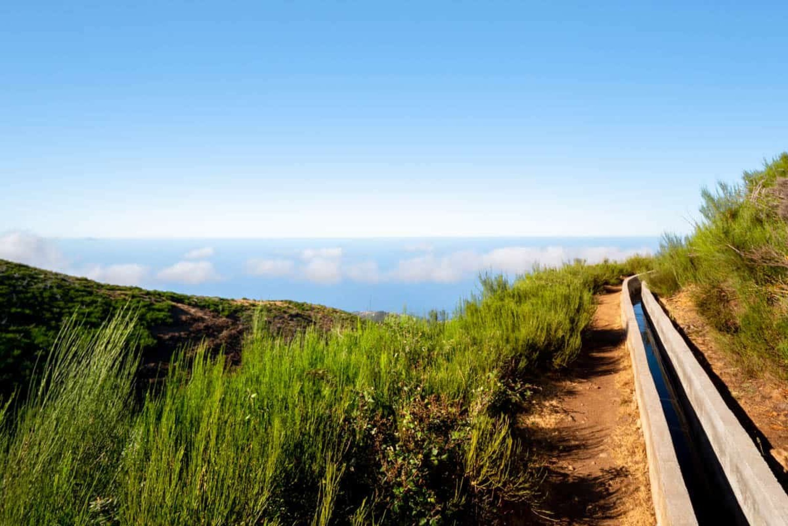
‘Levada’ is the term used to describe the irrigation channels in Madeira that carry water from water-rich areas to agricultural regions, particularly in the south of the island.
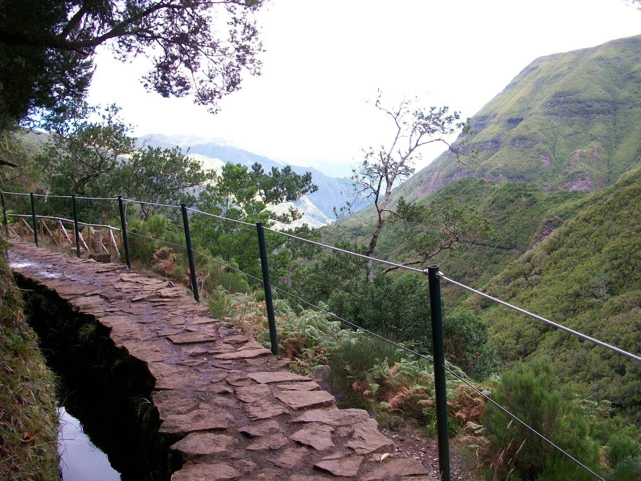
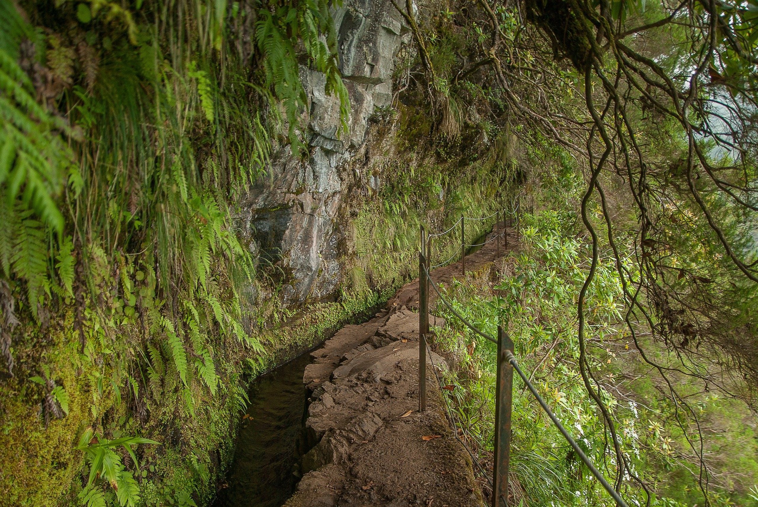
Maintenance paths run alongside the channels, and it is these that have gradually become some of the most beautiful walking routes on Madeira. Some levadas are short and almost flat, whilst others take you through tunnels, beneath waterfalls or along narrow footpaths high above deep valleys.
Madeira is a relatively humid and rainy island, so at first glance the existence of irrigation channels doesn’t make much sense. However, water is distributed very unevenly across the island.
The northern slopes and the central mountain range receive significantly more rainfall than the agricultural areas in the south. Furthermore, the steep, volcanic terrain makes it impossible to distribute the water easily by conventional means.
This is why an ingenious system of narrow stone – and later concrete – channels was created, winding their way from the rainy north and the central mountain range to the small fields in the southern part of Madeira.
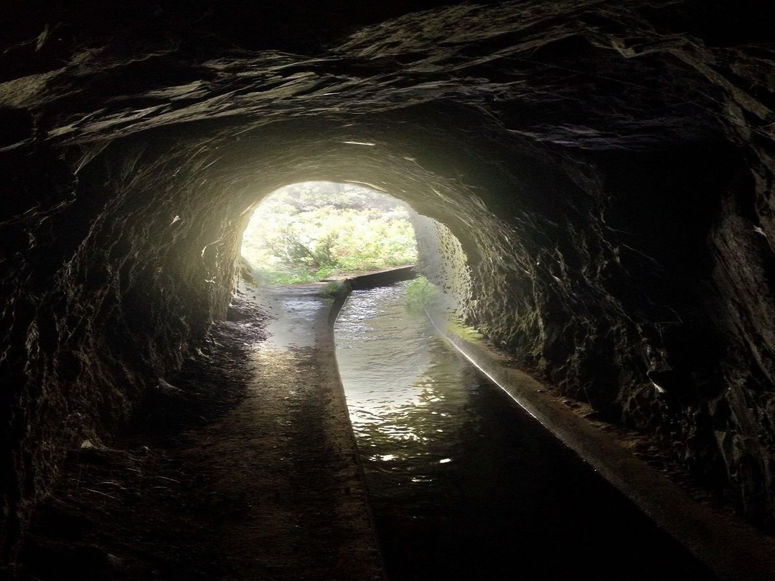
The levadas run at only a gentle gradient so that the water flows by gravity. To overcome high ridges, vertical rock faces and deep valleys, numerous tunnels, bridges and sections carved directly into the rock were also constructed.
The first channels began to be built as early as the first half of the 15th century, shortly after the settlement of Madeira. They mainly supplied water to sugar-cane fields and water mills. The main construction boom followed in the 19th and 20th centuries, when new technologies made it possible to excavate long tunnels.
Today, several thousand kilometres of levadas wind their way across Madeira. The exact figure varies depending on whether only the main channels are counted, or all the small branches as well. However, the figure of 3,100 km of levadas is generally accepted.
The longest is the Levada dos Tornos, at 106 km, which also supplies hydroelectric power stations, closely followed by the Levada do Norte at 98 km.
Book a hotel in Madeira at a discount
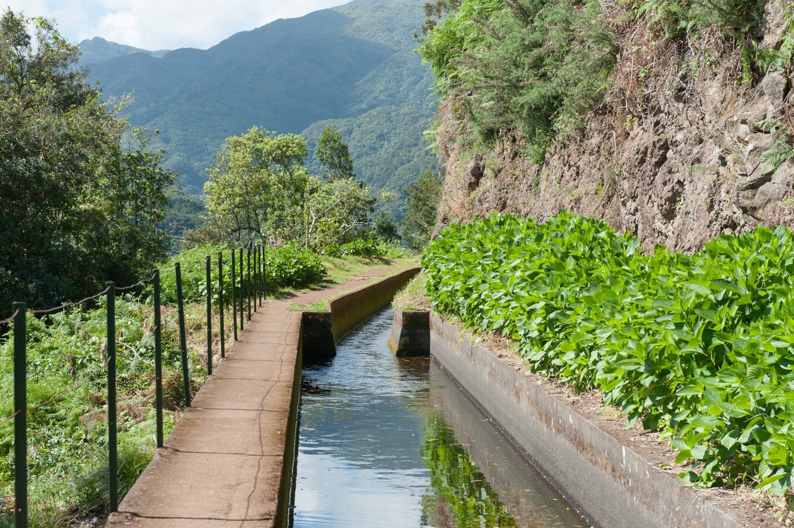
Levadas are mostly stone or concrete channels, alongside which runs a path used for construction and maintenance.
The width of the footpath usually ranges from 1 to 2 metres, and during the 20th century many of these paths were converted into signposted hiking trails.
Today, trekking along the levadas is one of the main activities in Madeira. However, this does not mean that every levada is automatically accessible or safe for tourists.
Generally speaking, walking along the levadas involves little elevation gain, as the gradient of the water channels is always gentle. However, the actual difficulty is mainly determined by the length and width of the path, as well as any tunnels and exposed sections above the cliff edge.
When walking along the levadas, be particularly prepared for:
We recommend waterproof shoes with sturdy soles for all longer levadas. For routes with tunnels, take a headlamp with you; don’t rely solely on your mobile phone’s light.
Also check the weather in Madeira and the best time of year for hiking.
From 1 January 2026, a new booking system will be in place on the trails. For most of the well-known trails marked with the letters PR, you must book a specific entry time online in advance.
Standard admission costs 4,50 eur for visitors aged 12 and over. Children under 12 go free, but a booking must still be made for them.
The fee does not apply to every walk along a levada. Unofficial routes and paths managed by other organisations may not appear in the booking system. Furthermore, officially closed routes are not usually listed, so always check their current status as well.
Bookings can also be made on the day of the hike, provided there is availability in the selected time slot.
However, we wouldn’t count on this for the most popular Levadas. Paid bookings cannot normally be changed or cancelled; you are only entitled to a rescheduling or a refund if the route is officially closed.
The condition of the trails in Madeira changes following heavy rain, landslides and during maintenance work. Therefore, do not treat older articles, comments or Google Maps as confirmation that a trail is passable.
Before every hike, check the IFCN’s official list of open and closed trails.
Public transport does not serve many of the levadas at all. A hire car therefore offers the greatest freedom, but it does not solve the logistics for every one-way route.
What’s more, parking is often a problem at the most popular spots.
| Option | When it makes the most sense | What to watch out for |
|---|---|---|
| A hire car | if you want to visit several levadas during your stay and set off early in the morning | Small car parks and the need to return to the car |
| Guided hike | You don’t want to drive, sort out parking or make your way back from the other end of the route | Check whether the price also includes the booking and the route fee |
| Public transport | Choose a route with a bus stop at both ends | Few services, poor connections and limited service at weekends |
If you’re going on organised tours, the most practical base is Funchal, as this is where most transfers depart from. With a hire car, you can split your stay between the south, north or west of the island. We’ll give you more advice in the section on where to stay in Madeira.
The selection is always largely subjective, but these are the 5 routes we most frequently recommend to visitors to Madeira. You can find a detailed description, transport information and a map by clicking on the name of the levada.
| Levada | Choose this one if you want to | Main challenges |
|---|---|---|
| 1. Caldeirão Verde Levada | the most impressive full-day trek, with tunnels and waterfalls | a long route; a head torch is essential |
| 2. Levada do Risco | A shorter, easier route or a combination with 25 Fontes | Route starts from the upper car park and is very popular |
| 3. Levada das 25 Fontes | A Madeiran classic with a small lake and waterfalls | narrow sections and the highest number of tourists |
| 4. Levada do Moinho | An almost circular walk near Ponta do Sol | a more exposed continuation along the Levada Nova |
| 5. Levada do Rei | a dense laurel forest with minimal elevation gain | a longer round trip |
By ‘Levada do Moinho’, we mean the popular route near Ponta do Sol. This is not the same route as the official PR 7 Levada do Moinho in the north-west of the island.
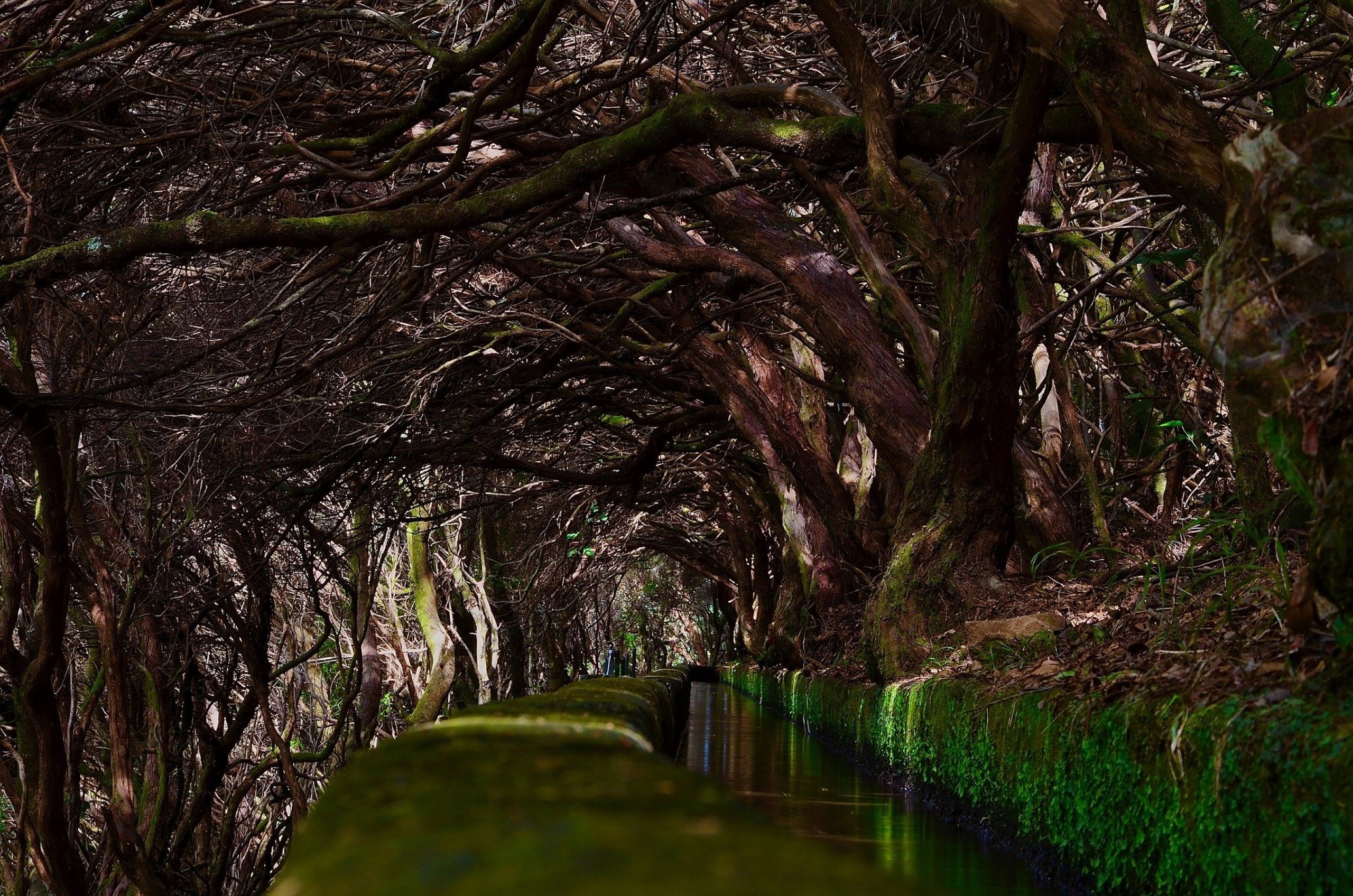
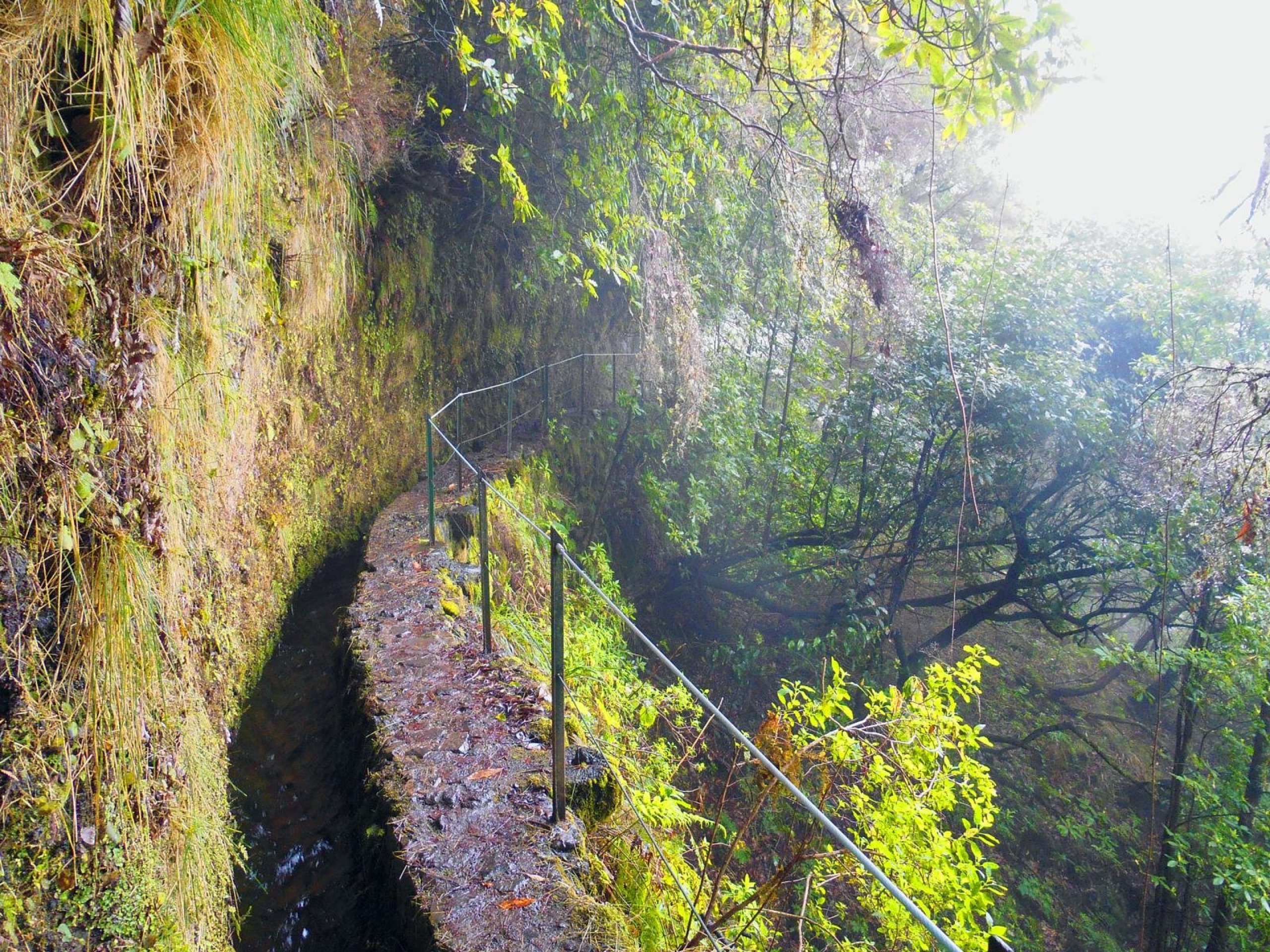
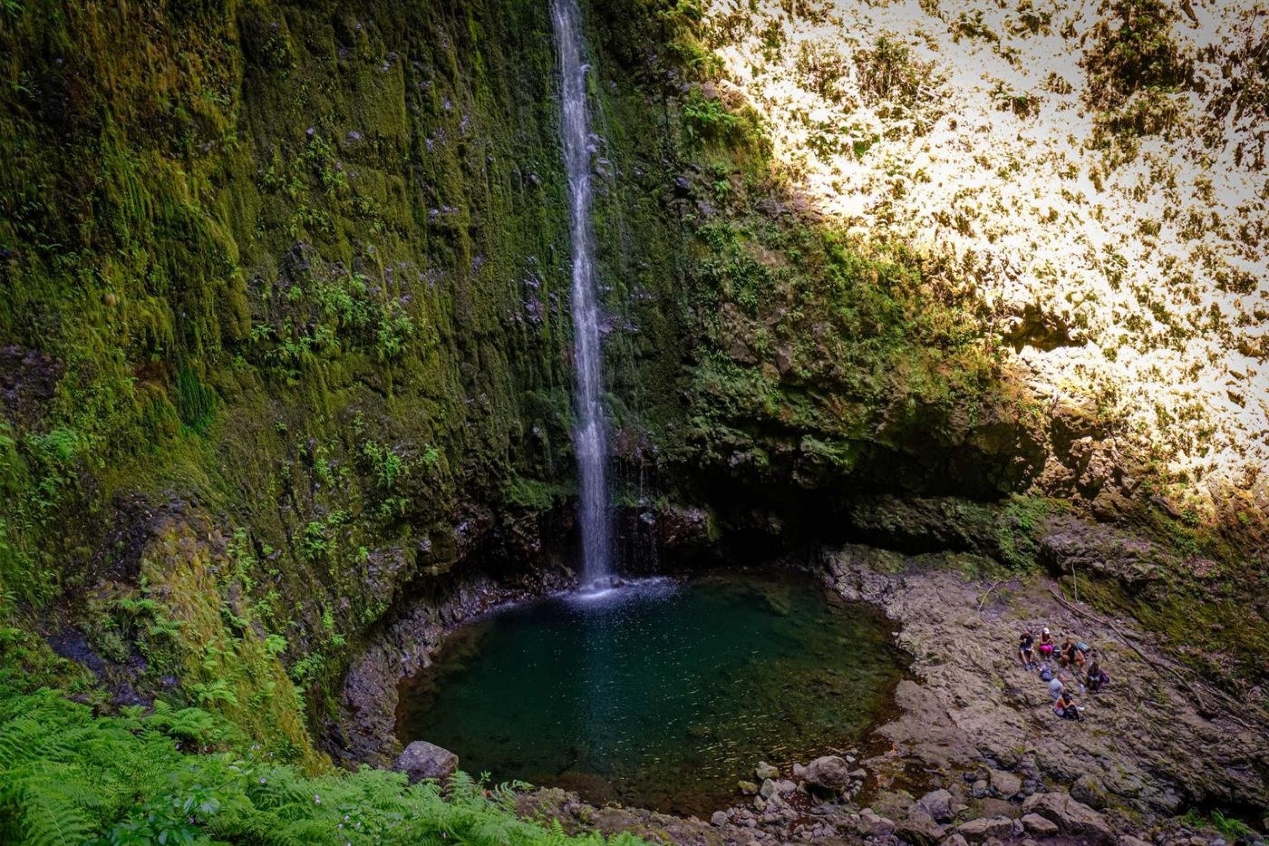
However, there are many more levadas in Madeira that are well worth visiting and walking along. In total, around 35 levadas have been developed for tourists. Let’s take a look at a brief list of them and a map. The map below provides more detailed information about each levada; simply click on the route or the link on the map.
If you have any questions or comments about the article...