Trieste from Prague in October: one-week breaks and long weekends
35 €



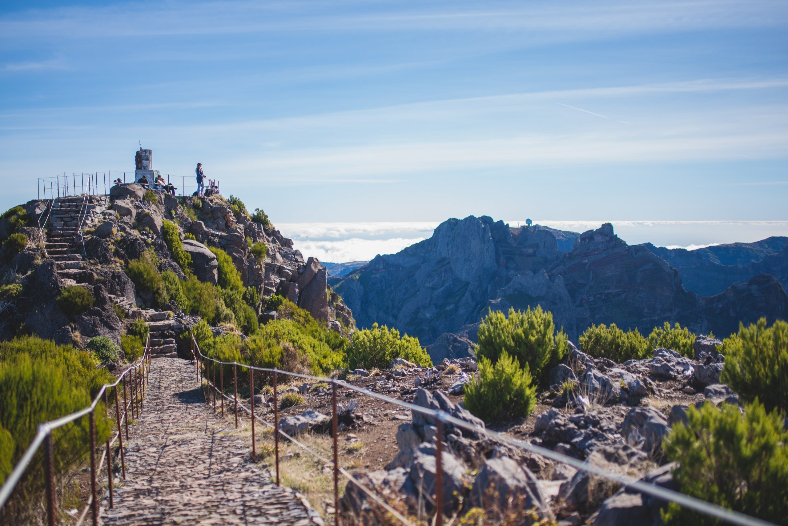
Pico Ruivo (meaning ‘Red Hill’) is, at 1,862 metres above sea level,the highest peak in Madeira and the third highest mountain in Portugal.
You may occasionally come across the longer name Pico Ruivo de Santana, after the district in which it is situated.
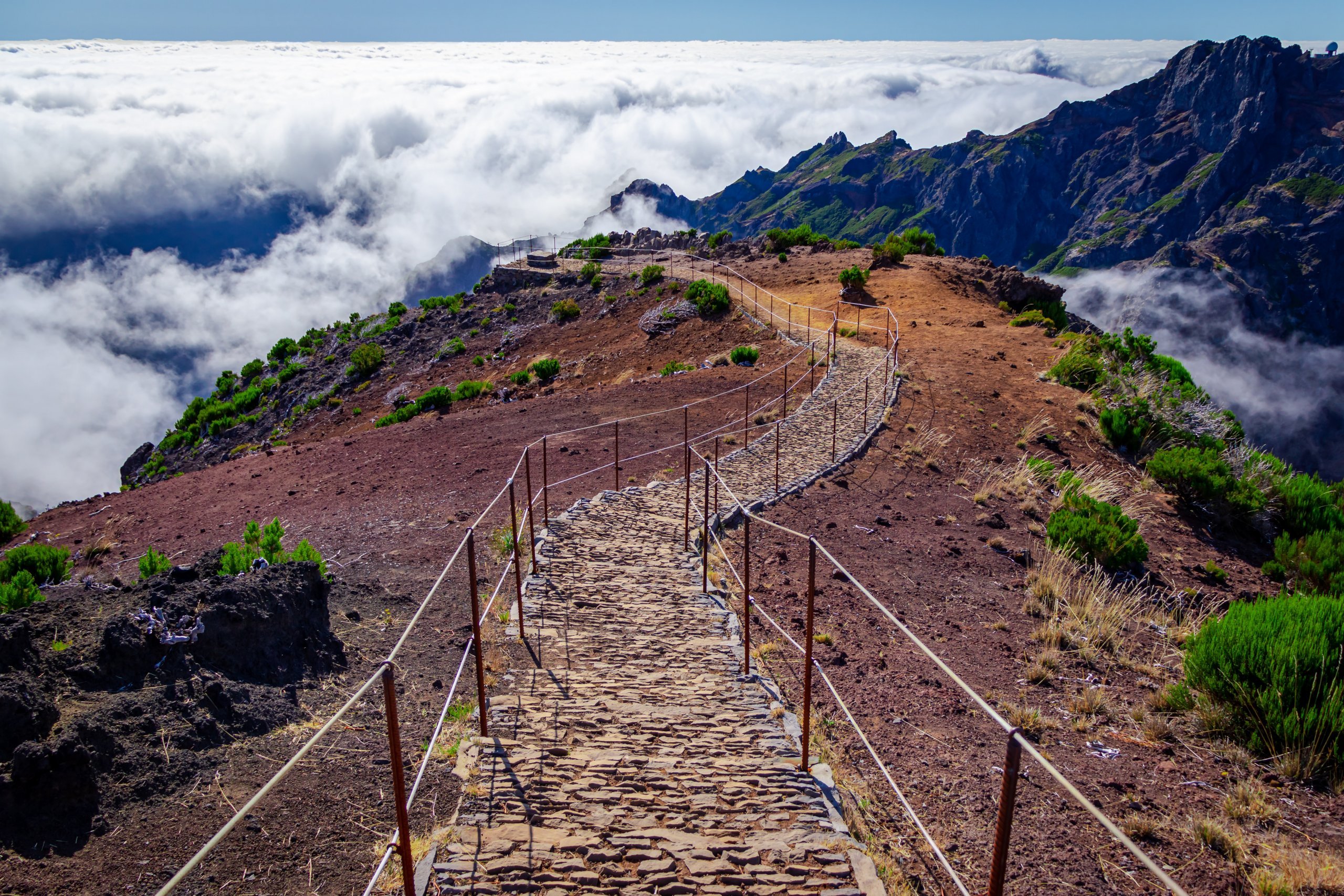
At the summit, there is a stone viewing platform offering 360° views; on a clear day, you can see across the whole of Madeira. However, Pico Ruivo is often above the clouds, offering a ghostly spectacle of the surrounding peaks rising out of the clouds. Cloud cover is slightly more likely here in the afternoon.
Compare car hire prices – FNC Airport
Just below the summit is a mountain hut offering refreshments and a free water tap.
The summit can be reached from four different directions. The shortest route (there and back) is approximately 5.5 km, whilst the longest is over 20 km.
Let’s take a closer look at the different routes, listed from shortest to longest. Whichever route you choose, make sure you wear sturdy footwear, pack at least a rain jacket and take plenty of water with you!
The shortest and most comfortable route leads from the car park at the top of Achada de Teixeira hill. It’s about 2.8 km one way and follows a well-maintained footpath throughout. Whilst it’s the ‘most boring’ of all the routes, it still offers beautiful views of the surrounding mountains. This route isthe easiest.
You can reach the car park, situated at an altitude of 1,590 metres, by car via a normal road from the village of Santana in the north-east of Madeira; there is no charge for parking. You cannot get here by bus.
The ridge walk from the 1,818-metre-high Pico do Arieiro is the most popular route and, in our opinion, alsothe most beautiful.
There is an entry fee of 3 eur, and you must book it online atsimplifica.madeira.gov.pt.
The entire route follows the signposted PR 1 trail; it is well-maintained and resembles a stone path, although there are some slightly more challenging sections.
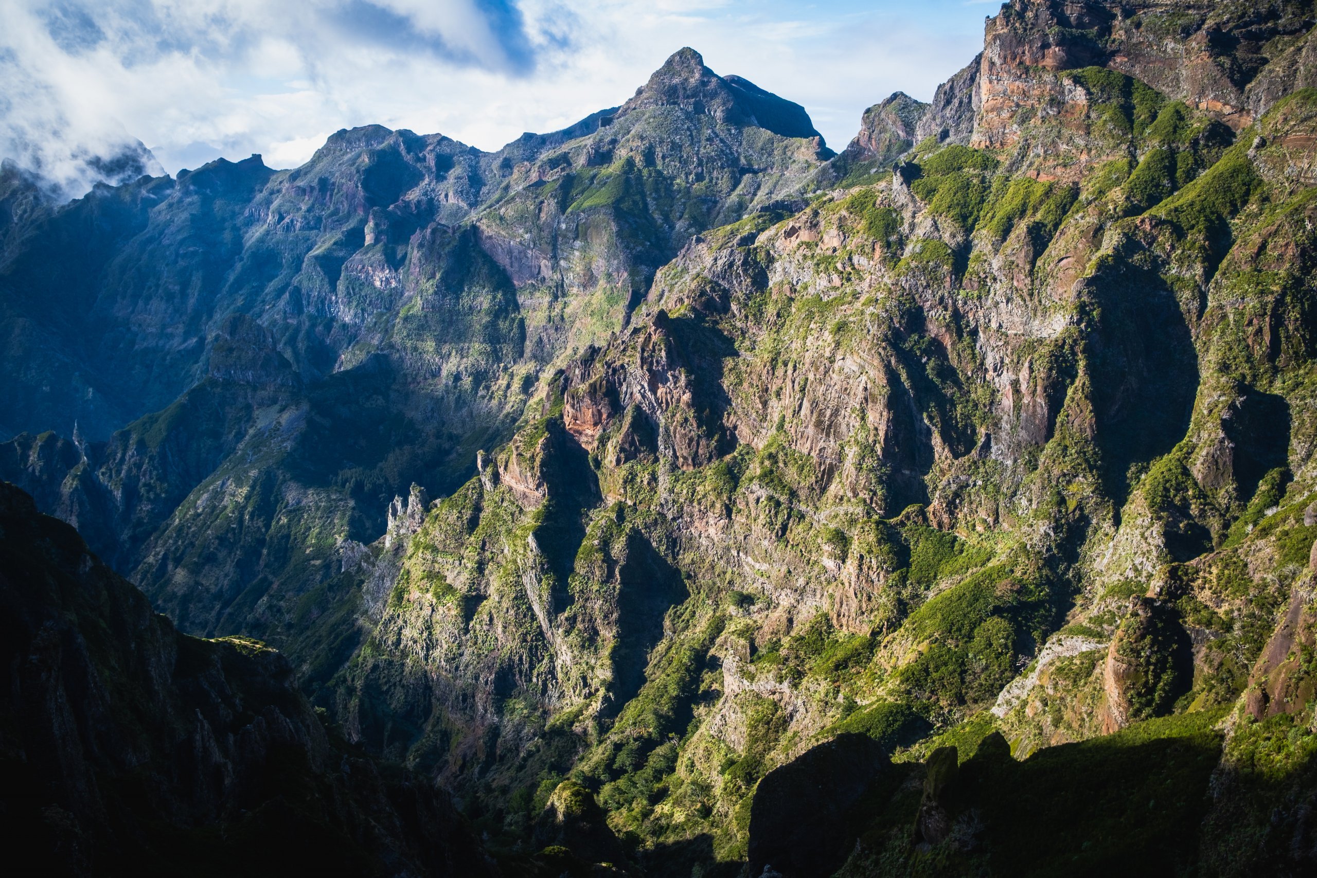
In any case, even a moderately fit hiker should be able to manage this route. Along the way, you’ll be treated to some truly breathtaking views of the mountains and the valley; in some places, the path is even carved into pedestrian tunnels and winds its way up steep slopes. The vast majority of the route is secured with handrails where necessary.
At the start of the route to Pico do Areeiro, there is a large free car park and a restaurant. You cannot get here by bus.
The trail through the villages of Ilha is very demanding in terms of elevation, with a significant climb. If you’re in good physical shape, it can be completed in a single day.
There is an entry fee for the route, which costs 3 eur, and you must book it online atsimplifica.madeira.gov.pt.
It leads steadily uphill, first through a beautiful forest, then offering breathtaking views of the mountains.
The start of the trail is near the bus stop for bus number 103, which runs from Funchal, Santana and São Jorge; however, the timetable is such that you won’t be able to make it back in a single day (the ascent and descent combined would have to take less than 7 hours, which is pushing the limits).
The most challenging route if you want to complete it without an overnight stay.
It offers a comprehensive hiking experience through stunning scenery of mountains, gorges, ravines and deep, wooded valleys. It starts at Boca da Encumeada, Madeira’s highest road pass (1,009 metres), which is served once a day by bus route 6 (Funchal – Arco de São Jorge).
There is a large free car park and two cafés.
Discover all the places to see in Madeira.
If you have any questions or comments about the article...