Waialeale
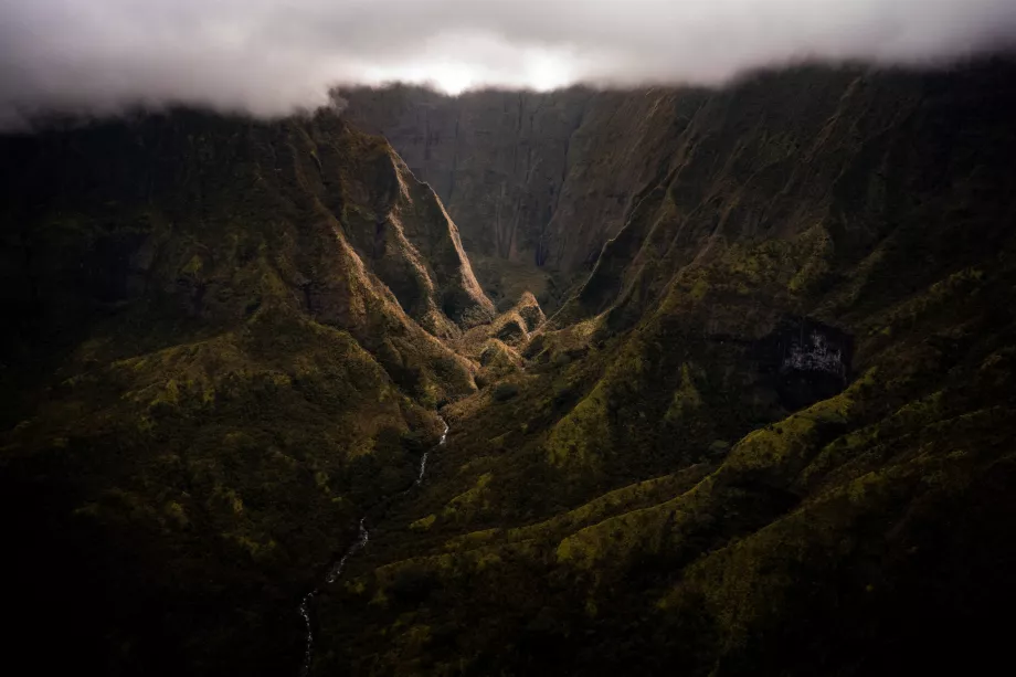
The Waialeale mountain range is the highest point on Kauai, rising to an elevation of 1,587 metres above sea level.
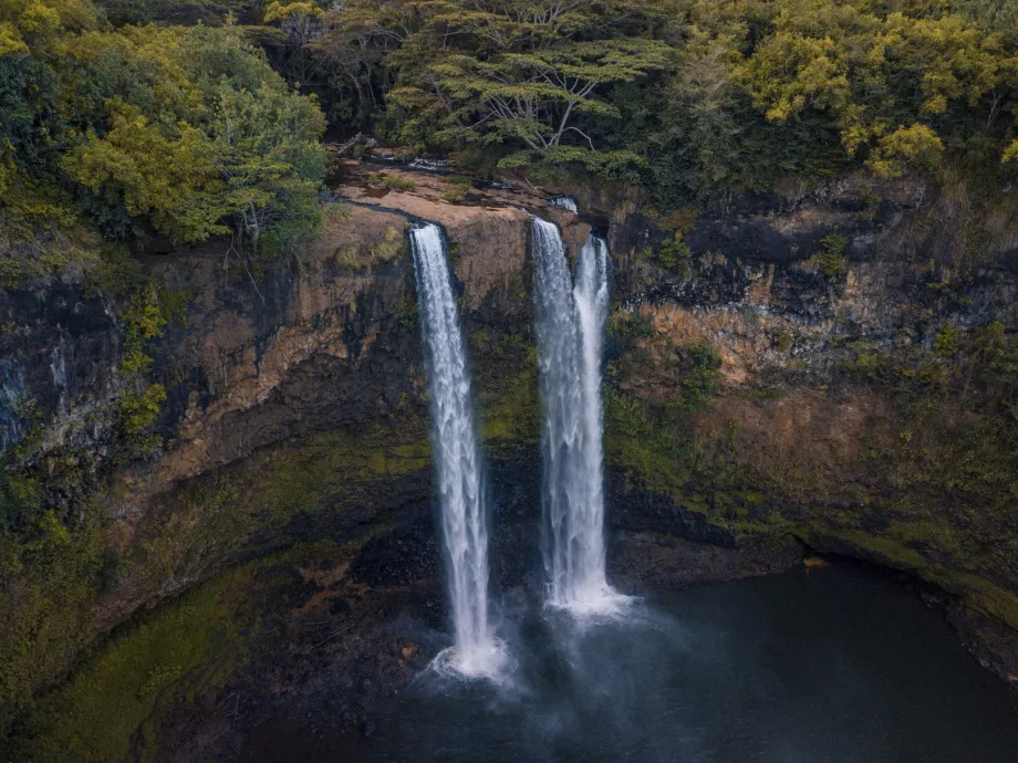
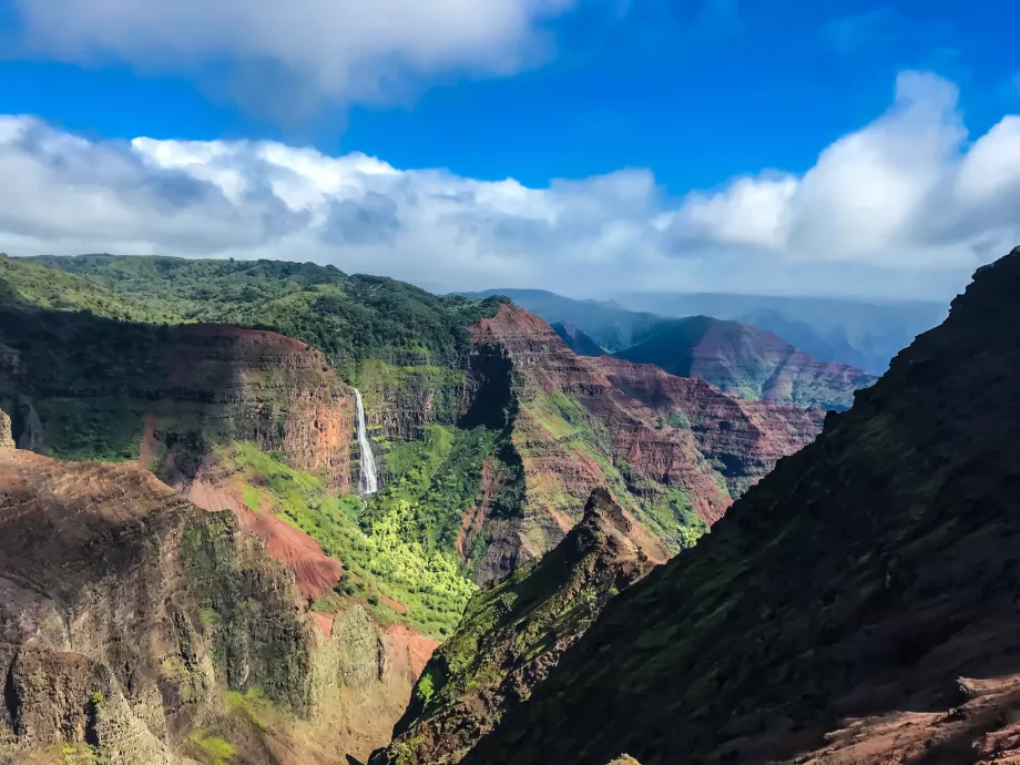
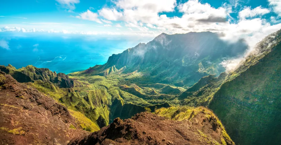
It is divided into two peaks - Kawaikini (the highest) and Waialeale (1 569 m above sea level) - which form a deep caldera with almost perpendicular walls covered with greenery, along which dozens of waterfalls fall like threads from the height. From the caldera they then flow down a deep forested canyon into the ocean.
Book your Kauai hotel in advance
The Wailuku Crater is one of the most iconic spots on Kauai and, according to many travelers, ranks among the most beautiful natural scenery in all of Hawaii. The wild and uncivilized mountainous forested area full of rivers, waterfalls and streams attracted the filmmakers of Jurassic Park, among others.
Wall of Tears Crater
The peaks of Waialeale and Kawaikini are virtually inaccessible, but the main attraction of the area is the crater below the peaks with perpendicular walls up to a thousand metres high, forming a mysterious caldera enclosed on three sides by the mountain range.
Dozens of long, narrow waterfalls flow down the rocks, resembling tears streaming down a huge face. Hence the nickname "Wall of Tears".
The eighth rainiest place on Earth
The Mount Waialeale massif is currently ranked as the 8th rainiest place in the world. Kauai's central island is a typical example of a humid tropical belt, and the high rainfall is helped by the conical shape of the mountain, which towers over the nearest hills.
Rainfall in the Waialeale area is evenly distributed throughout the year and there is no dry or rainy season.
Also because of the extreme humidity, preparation for the journey to the crater is extremely important. You definitely can't do without really good waterproof clothing due to the length and difficulty of the route.
Hiking trail to the crater
Waialeale is located in the most remote part of Kauai, right in the middle of the island with no paved roads leading to it.
The hike to the crater is considered challenging and should not be undertaken by inexperienced hikers. Good physical fitness and equipment is an essential part of the trip, as is great caution. Most of the trail runs directly through the riverbed on large and often slippery rocks.
- Total of 8 km (approx. 4 km one way)
- Depending on fitness 6-8 hours
- Returning the same way back
- Challenging terrain
- Route map
How to get to the trailhead
The first thing to point out is that you shouldn't even attempt the mountains without a 4x4 off-road vehicle. However, jeeps are conveniently available for hire from any car rental shop at the airport.
The start of the route lies roughly at these locations, where you will find a small improvised parking lot. The only way to it is an unpaved narrow forest road, which may be impassable for off-road vehicles in prolonged rains.
The best route by car is through the town of Wailua on Route 580 to the Wailua Reservoir, where you must turn left onto the unpaved forest road. On this road you need to cross a river ford and at the nearest intersection with another major forest road, turn right and drive to the end to a small parking area.
Book a 4x4 car at Lihue Airport
What to see around
Discover all the places to see in Kauai.
Any questions left?
If you have any questions or comments about the article...

