
From Prague to Bangkok with LOT from April to June
514 €



Gunung Merbabu is a dormant volcano rising to a height of 3,145 metres above sea level.
It is one of the most popular destinations for mountain hikers in Central Java, particularly for its breathtaking views of the highly photogenic active volcano Merapi, which is closed to the public.
Book your hotel in Yogyakarta in advance
Although the summit of Merbabu is not actually in the Yogyakarta region, which is the focus of this guide, Yogyakarta is the nearest major city from which it is easiest to reach the summit.
The entire mountain forms part of a national park, andonline registration is compulsory before the ascent.
You can register on the official websiteat booking.tngunungmerbabu.org.
Without online registration, you will not be allowed to enter the national park, and if you are caught by a ranger, you will be fined up to five times the price of the entrance fee.
The entry fee and registration apply to all routes leading to the summit.
In addition, visitor quotas must be monitored, as these are set separately for all official trails. If the quota for a given day has been reached, you cannot register any further and therefore cannot use that trail.
You can check the quotas on this page of the official website.
If you’re going on a weekday, there are usually places available even on the day of the climb; however, if you’re planning to climb Mount Merbabu at the weekend or during peak season, it’s best to register at least 7 days in advance.
You must always register for an ascent via a specific route (labelled ‘Jalur’ on the booking page).
You may only officially climb Mount Merbabu in a group of at least three people, and the online form does not allow registration for individuals or groups of just two people.
If you want to climb Merbabu alone or in a group of two, you have no choice but to take a chance that there will be spare places on the day of the climb, find other solo travellers at the start of the route, and register together.
This approach usually works well, and it generally takes around an hour to 90 minutes to find someone else to join your group. However, you’ll never have 100 per cent certainty in this case.
Once you’ve passed through the checkpoint, nobody usually checks whether you split up or continue on as a group.
You’ll definitely have the best chance of finding other people to join your group on the Selo trail, which is by far the most popular.
You’ll pay the fee on arrival. There’s a ticket office at the start of every trail where you can pay in cash or by card. It’s safer to carry cash with you, as card payments don’t always work.
The admission fee is valid for 1 day.
| Weekdays (Mon–Fri) | Weekends and public holidays | |
|---|---|---|
| Foreign tourists | 150 000 idr | 225 000 idr |
| Local tourist | 5 000 idr | 7 500 idr |
You will also be required to pay the following compulsory charges on site:
Many websites state that foreigners are required to pay for a guide, but no such obligation is specified in the national park’s terms and conditions.
You can hire a guide on the spot (there are always plenty available) for around 450 000 idr to 500 000 idr.
Until 2022, Mount Merbabu was open 24 hours a day, which allowed for night-time ascents to catch the sunrise.
This is no longer possible, and entry to the national park is only permitted between8.00 and 16.00.
According to travellers’ recent experiences, Mount Merbabu has been open 24/7 again since 2025, allowing night-time ascents to watch the sunrise.
Yes, it is still possible to watch the sunrise, but in this case you will have to pay the entrance fee for two days – that is, double the usual rate.
You can enter the national park in the afternoon after 4 pm, climb the mountain, spend the night in your own tent and return in the morning.
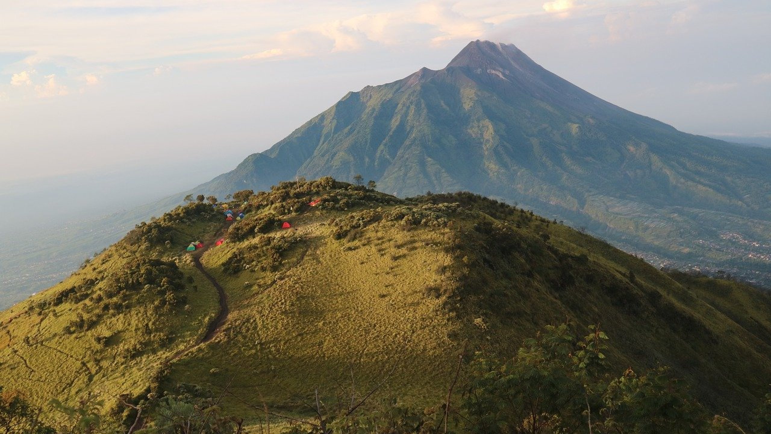
There arefive official routes up Mount Merbabu.
The most popular and shortest route leads from the village of Selo, which is nestled in the saddle between Mount Merbabu and Mount Merapi. Although the trail is the shortest, it is very steep in places.
The route runs mainly through savannahs with only a few wooded sections and is quite dusty.
On the descent, however, you’ll be constantly treated to absolutely breathtaking views of the neighbouring Merapi volcano, which is just 200 metres lower than Merbabu.
The route is suitable if you are travelling from the cities of Yogyakarta, Solo or Borobudur. Selo is also a village with tourist facilities and plenty of affordable accommodation.
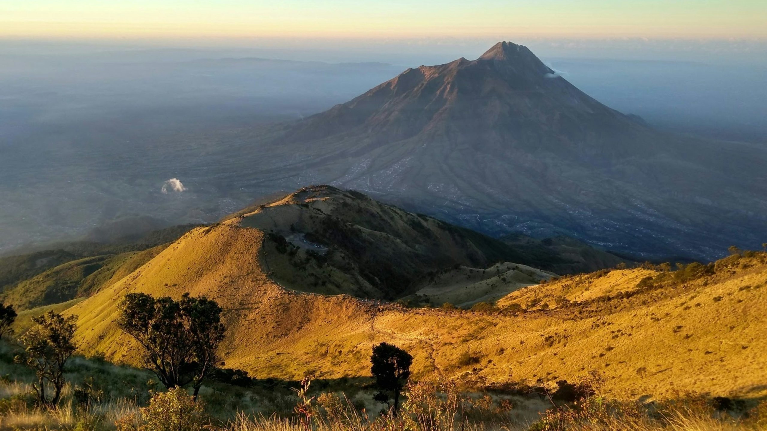
The second most popular route starts to the north of the village of Thekelan.
This route is the longest, but relatively gentle for most of the way. However, just before the summit there is a very steep and challenging section; whilst no mountaineering skills are required, it deters many hikers from reaching the summit.
The route is nicknamed ‘The Seven Peaks’ because it leads over seven smaller hills through meadows, forests and savannahs.
The Thekelan trail is particularly popular with travellers heading to Merbabu from Jakarta or Semarang.
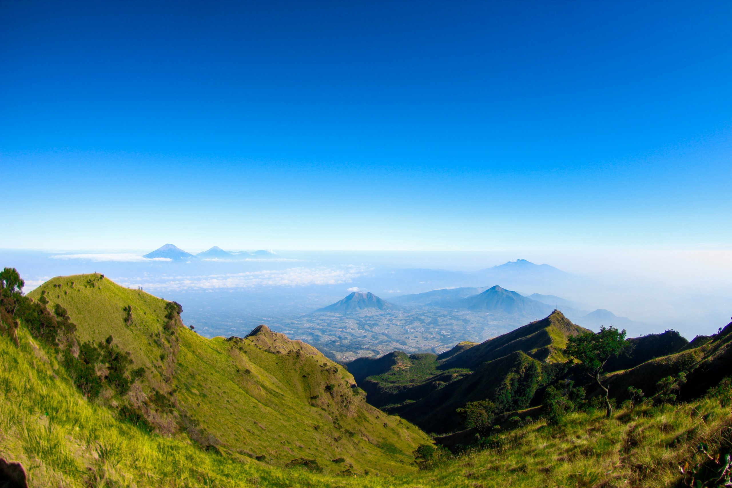
The route from the village of Suwanting is one of the steepest and most demanding, with a significant elevation gain. The path is slippery in places, even in dry weather.
Compared to other routes, it is not as heavily used and offers magnificent views of the surrounding volcanoes. Most of the route runs through meadows and savannahs.
Suwanting is a small village that is difficult to reach by public transport.
The northern route, which shares a short but challenging final section with the Thekelan trail, runs largely through woodland.
This is one of the reasons why the Cuntel trail is popular with monkey-watchers, as this is where you’ll see the most of them.
Cuntel is a small village that is rather difficult to reach by public transport.
The least-visited route leads from the west, starting from the village of Wekas, and, like the Cuntel trail, runs largely through the forest.
You’ll therefore see a large number of monkeys here.
Wekas is a small village that is rather difficult to reach by public transport.
In this guide, we’ll describe the route to the villages of Selo and Thekelan, where the two most popular trails begin and which can be reached by public transport.
The other routes can only be reached by hire motorbike or taxi; there is no public transport to them.
Discover all the places to see in Yogyakarta.
If you have any questions or comments about the article...


Hey, this information is out of date. You can start trekking at any time. I started at 1am for sunrise
Hi, technically it was possible, but not legal (September 2024). Has that changed too?
We walked with a guide and many other people too, officially, so I guess it's legal. Apparently a guide is now compulsory, that's what everyone told us. I don't know if this is true about the guide, but they say it changed after the accident with the Brazilian tourist. We actually took a guide for the night crossing anyway, so I have not verified this.
Oh, that must have changed. Last year, just in the dark, you couldn't even get a guide. So thanks for the updated info!