
Bali from Prague with Etihad Airways: a whole host of dates available throughout the year
623 €



Although small in area, the Vitosha Mountains are a beautiful range rising to heights of over 2,200 metres. The foothills of the Vitosha Mountains begin right in Sofia.
Find hotels in the Vitoša Mountains
Thanks to its proximity to the city and excellent transport links, the Vitoša Mountains are a popular destination for tourists and locals alike. The dominant feature of the range, which covers an area of just 270 square kilometres, is its highest peak Cherni vrah (2 290 m).
The hiking trails here are well signposted and fairly busy, particularly at weekends, when residents of Sofia head up to Vitosha. However, you’ll also find plenty of quiet routes with few other hikers.
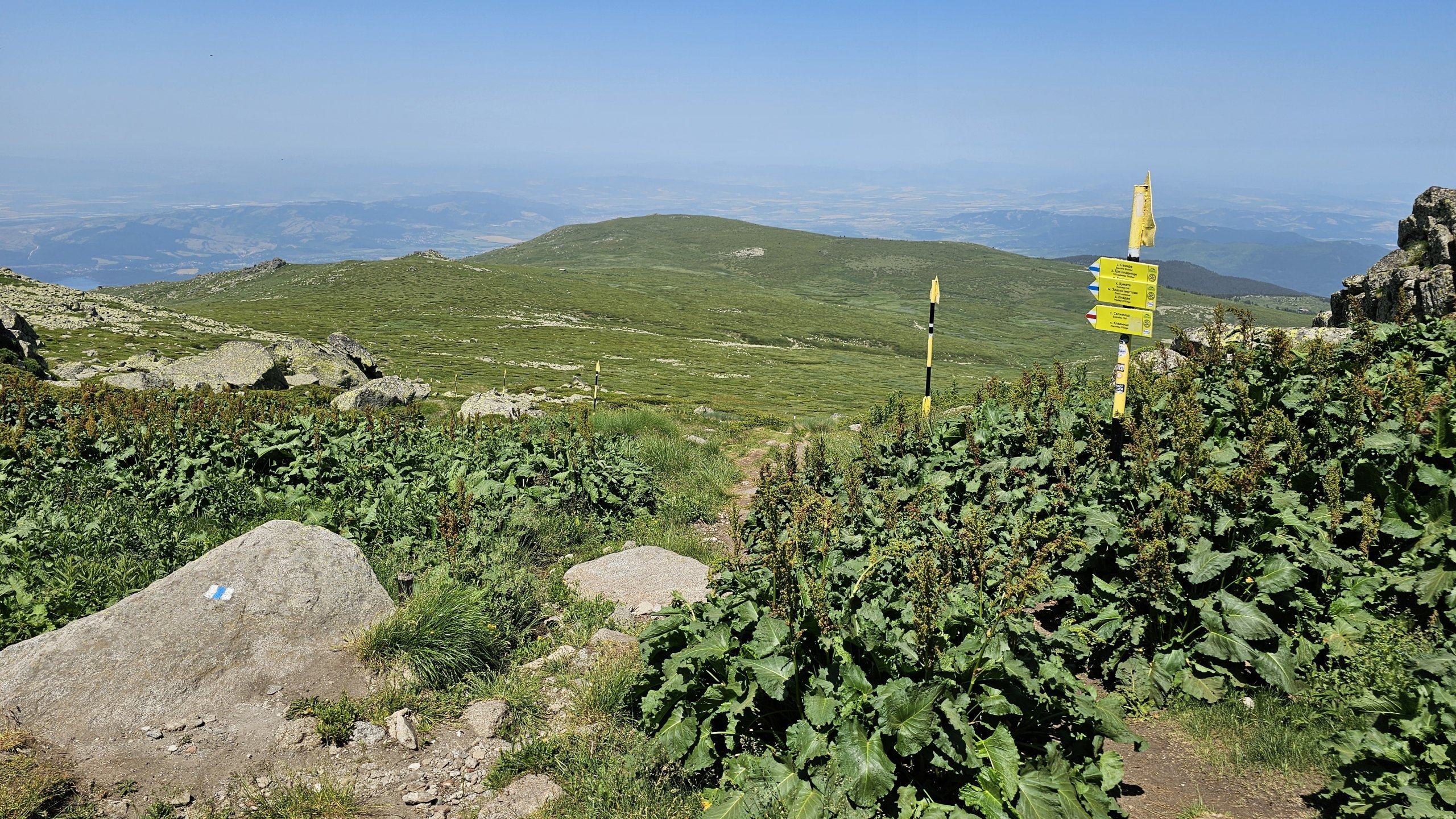
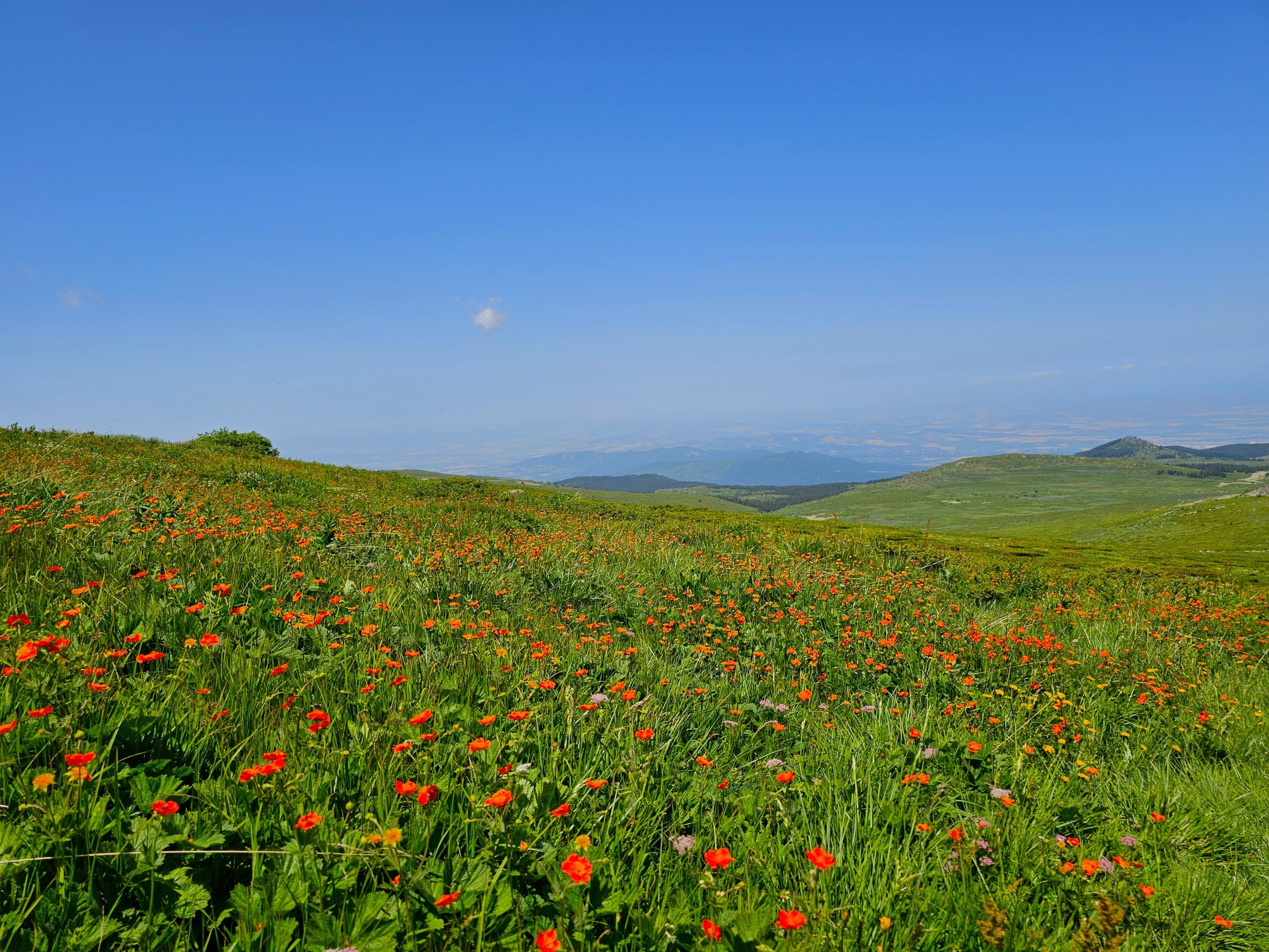
The mountain range is so small that its highest peak,Cherni vrah, is sometimes referred to by the name of the range itself – Vitosha.
There are many trails leading to the summit, and most of them can be managed even by less experienced hikers. If you’re not very used to walking in the mountains, set aside a whole day for your visit to Vitosha.
For the more athletic traveller, half a day will suffice.
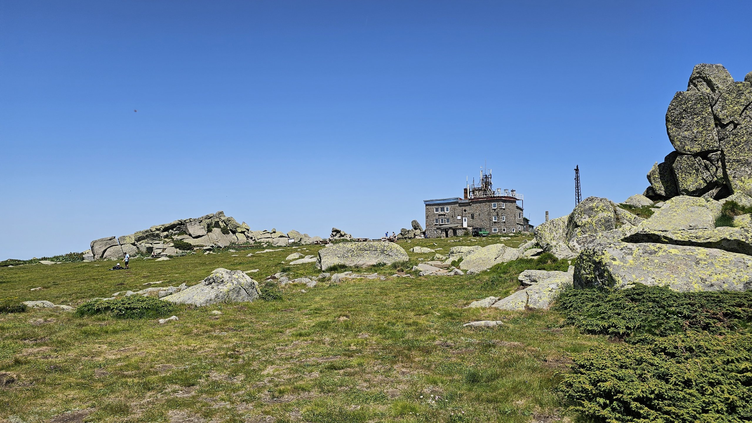
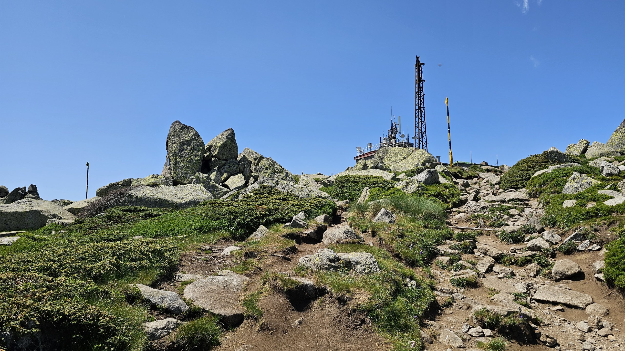
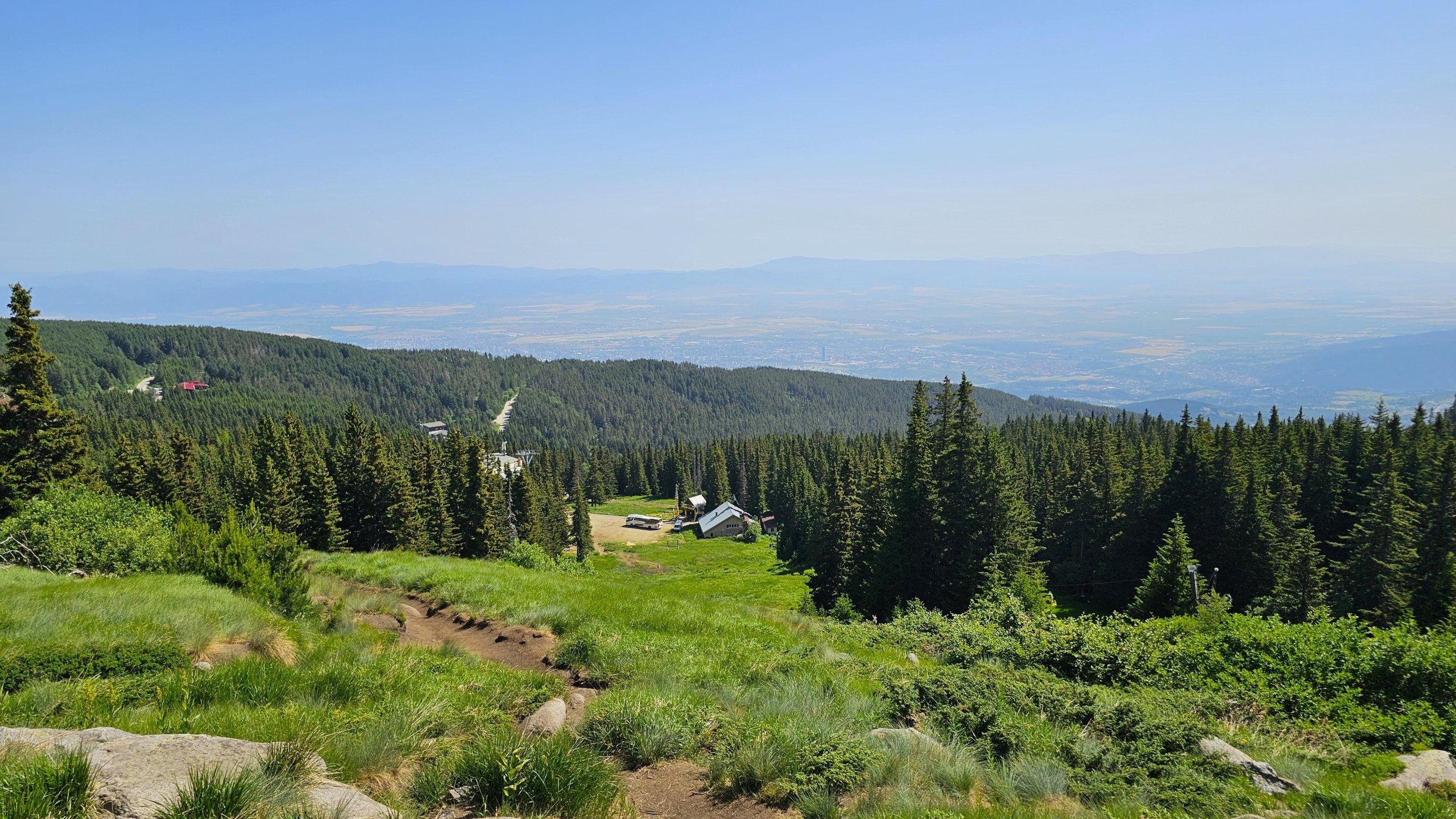
The easiest way to reach the summit is via the pair of chairlifts, “Vitoshko Lale I” and “Vitoshko Lale II”, which run from an altitude of around 1,580 metres almost all the way to the summit.
There is also a modern gondola lift from the outskirts of Sofia, but this only operates in winter and is exclusively for skiers.
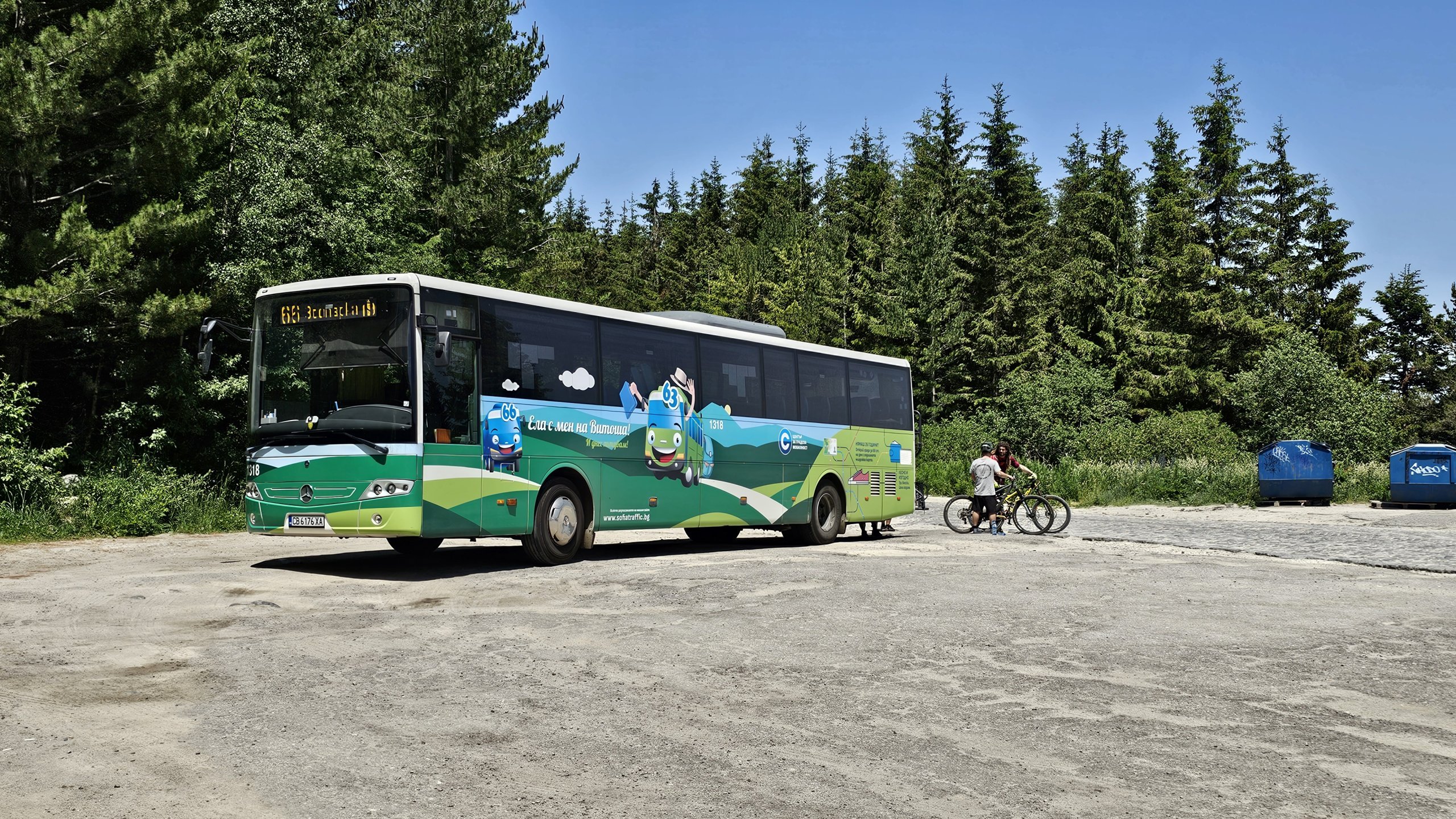
The lower station of the Vitoshko Lale lifts can only be reached by car. However, you can get close by taking bus route 66 from Vitosha metro station and getting off at the “Romanski Lift” stop. From there, a 940-metre-long path leads gently uphill to the lower station of the cable car (see map).
From the top station of the cable car to the summit of the mountain, you have just 1 km left to go, more or less on flat ground.
The most popular route starts at the Aleko mountain chalet and restaurant, which is the terminus for bus 66 running from Vitosha metro station and is also accessible by car.
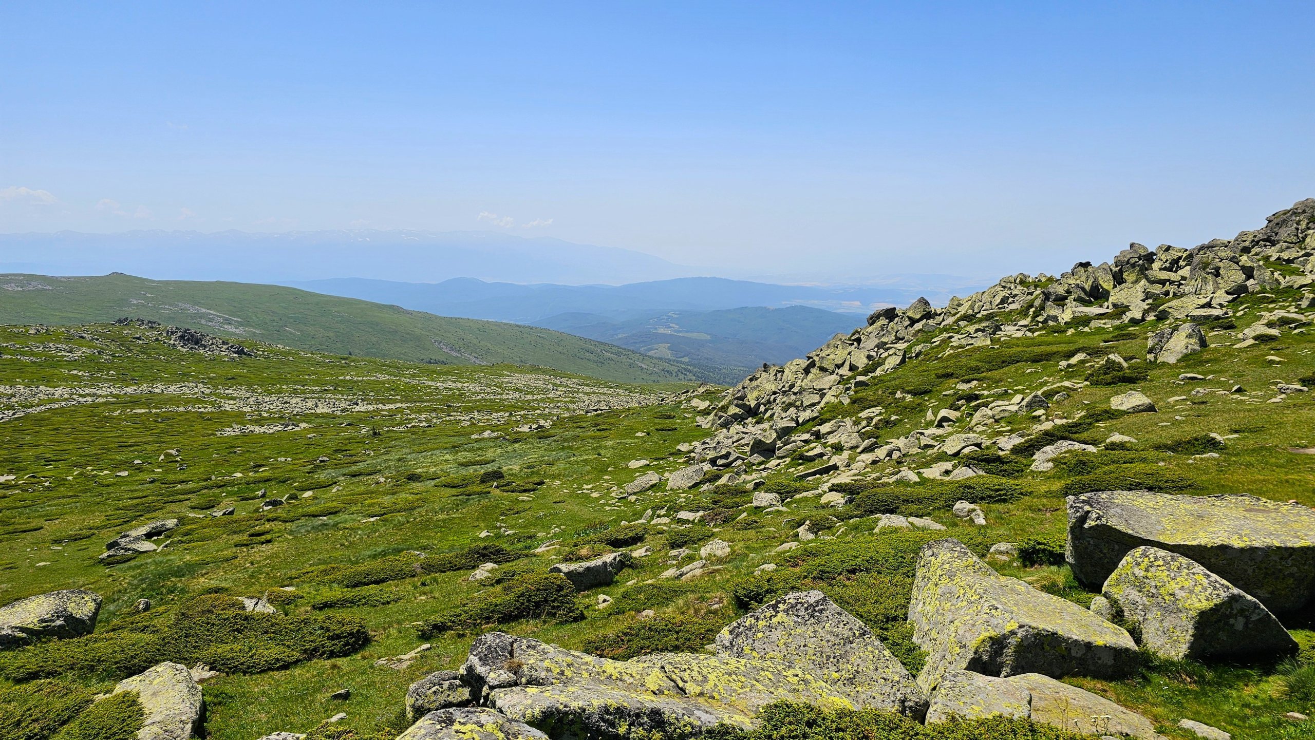
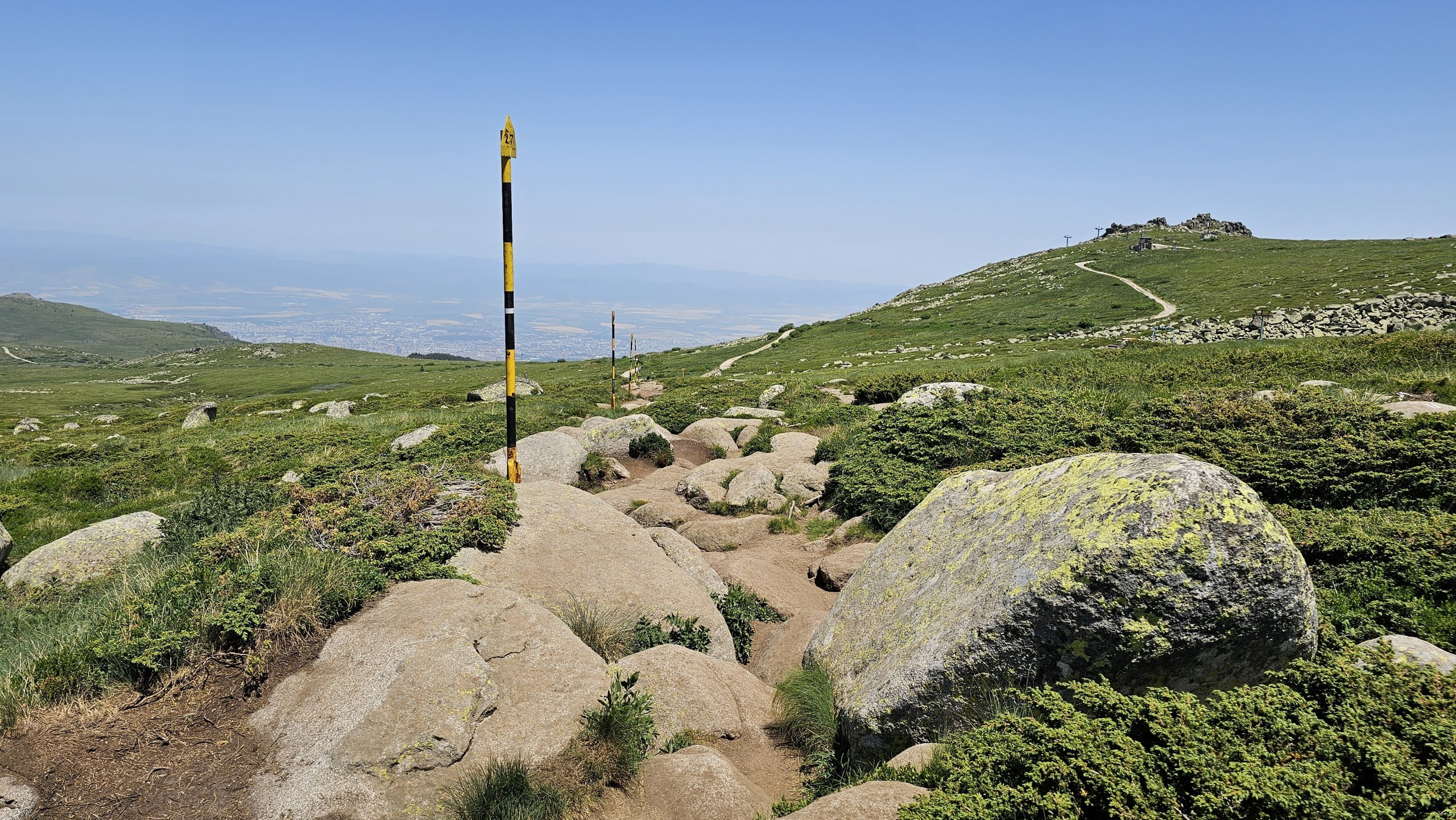
The path winds steeply up a ski run, then follows a dirt track and continues across a stony field all the way to the summit.
You can take a different route back, which is 4,600 metres long; see the map.
Book your stay at the Moreni Hotel
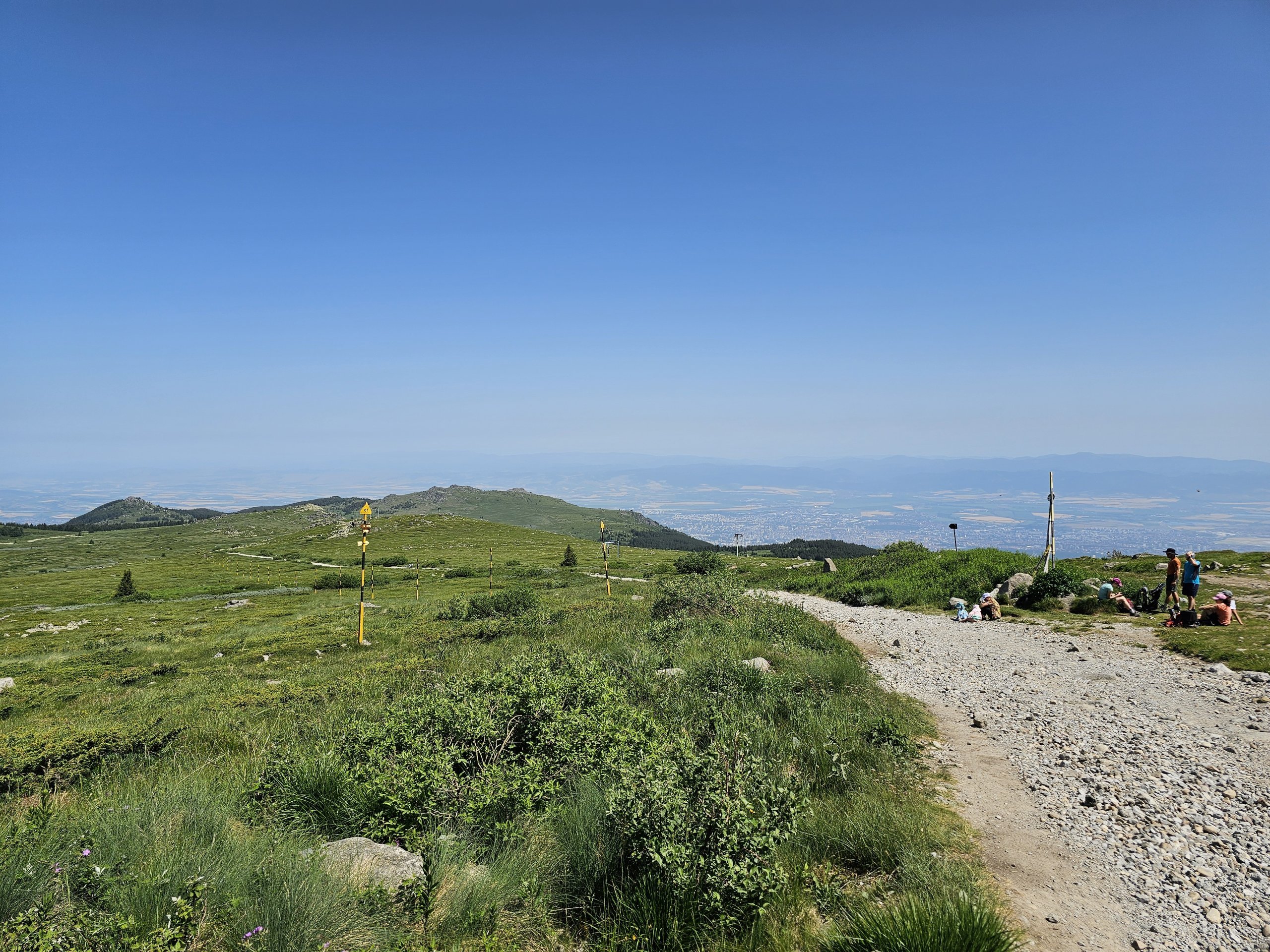
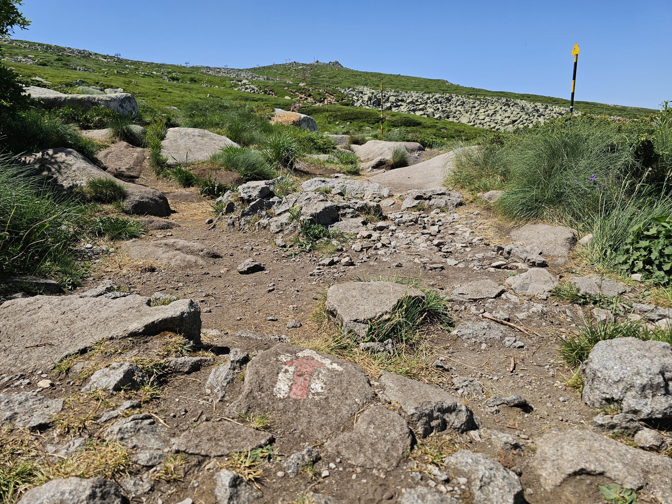
The most scenic route starts from the terminus of bus 63, which is called Zlaté mosty (ЗЛАТНИТЕ МОСТОВЕ).
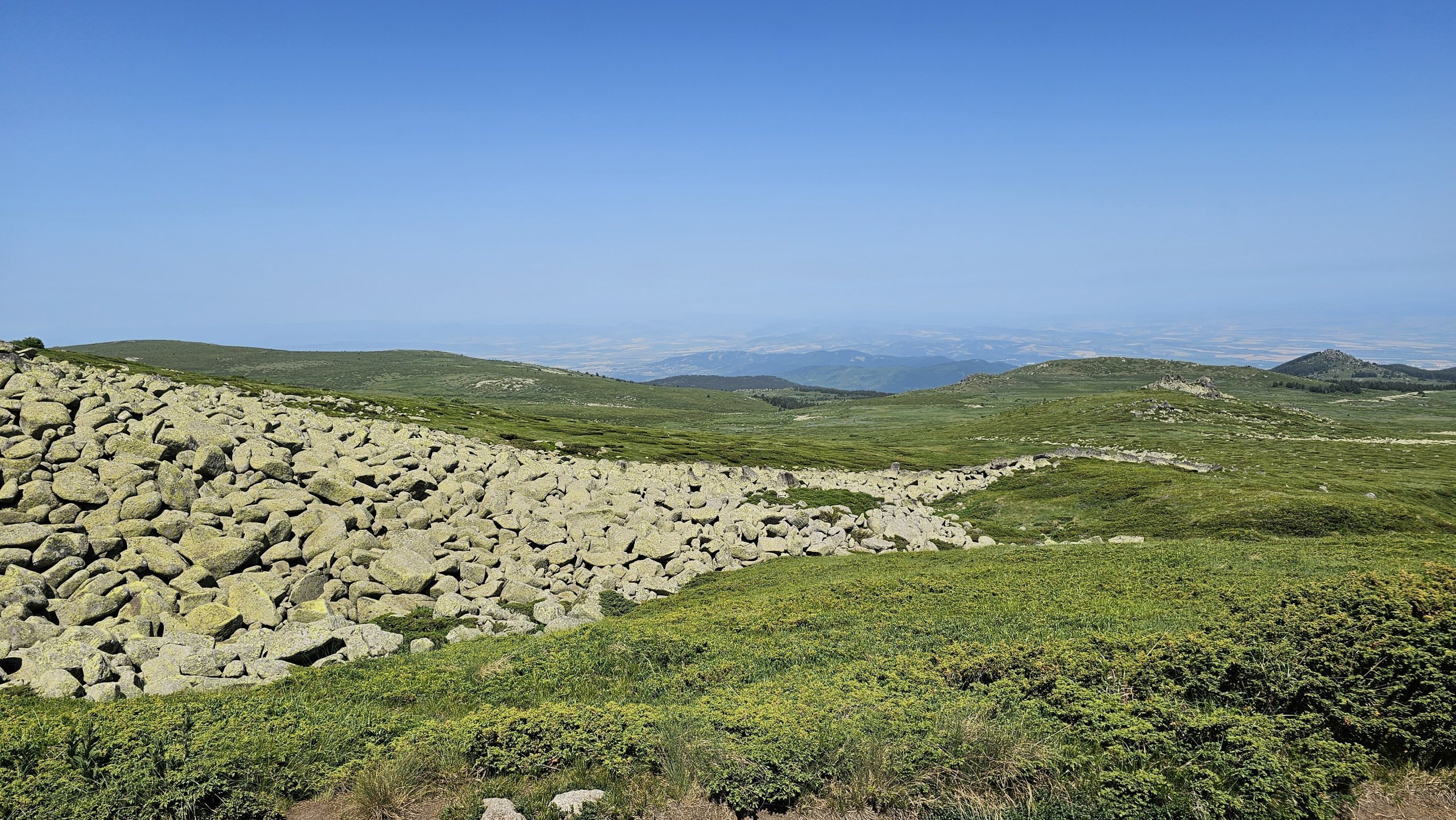
The route runs alongside a monumental stone moraine, through woods and meadows with stunning views. It is considerably longer and steeper than the route from the Moreni Hotel, but even travellers of average fitness can manage this route at a leisurely pace.
We recommend combining the routes listed above. Take bus 66 up to the Moreni Hotel, climb to theCherni vrah, and return via the Golden Bridges to catch bus 63.
The longest and most challenging, but beautiful, route leads from the famous Bojan Church.
The route takes you through a beautiful valley with the Bojanski stream, dense forests and wide meadows, and is a full-day hike for well-trained walkers.
The Vitosha Mountains are criss-crossed by dozens more kilometres of trails.
One very popular route, for example, is a long trail that follows the contour lines more or less at the foot of the range, just a few hundred metres from the outskirts of Sofia.
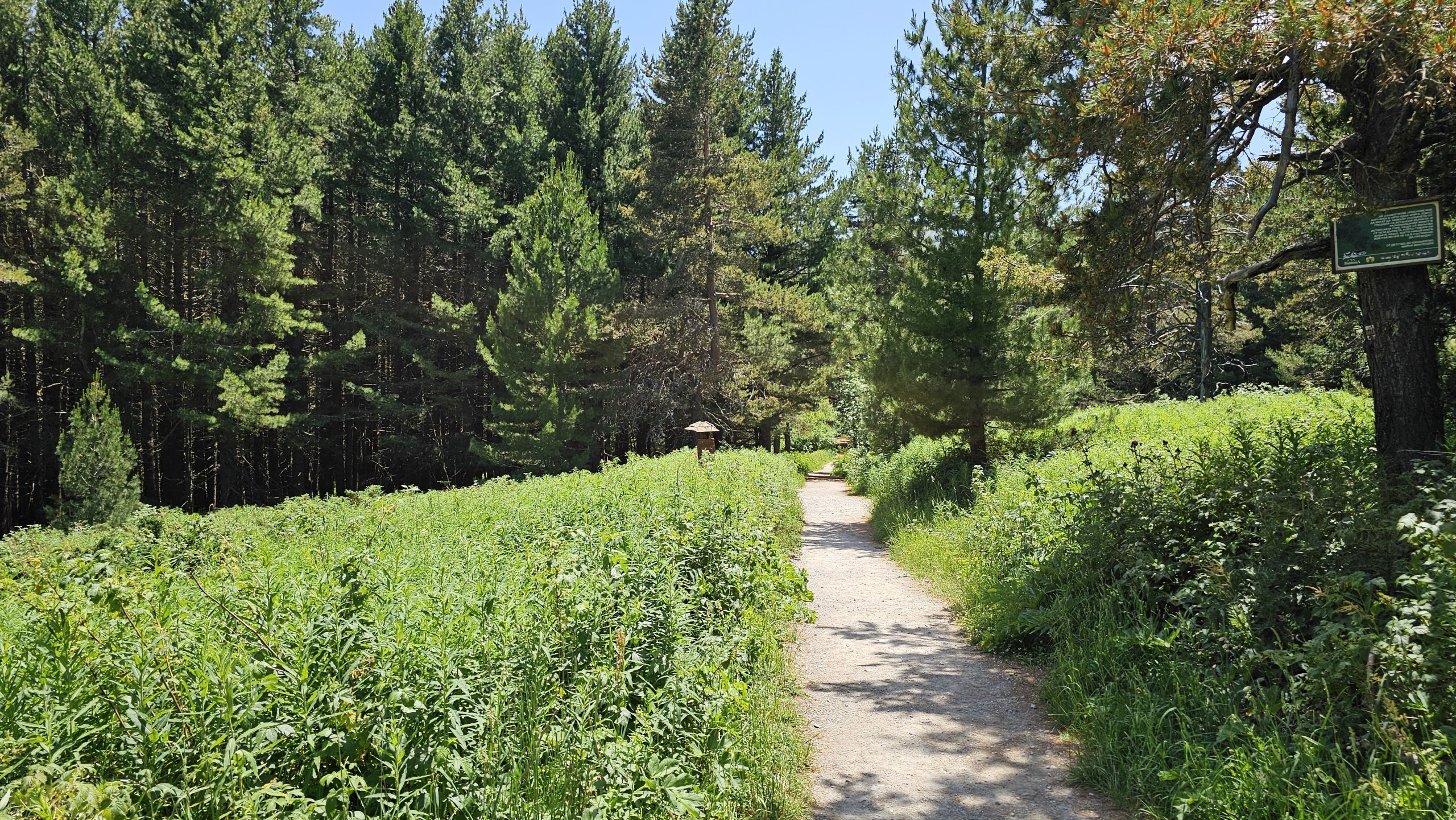
It runs between the towns of Zheleznitsa and Rudartsi, but you can also just walk shorter sections, for example between the Church of St Bojan and Dragalevtsi Monastery. This section is very pleasant, runs entirely through the forest and is about 6.5 km long.
From Dragalevtsi Monastery to Bojana Church, the route is more or less a gentle, steady descent (see map).

The official website does not provide any clear maps of signposted routes.
We found the following brilliant app to be the most useful mapy.cz, which shows all the trails and is very accurate. You can also download offline maps via the mobile app, which we recommend as there isn’t mobile coverage everywhere.
The Vitosha Mountains are easily accessible by public transport.
You can easily find timetables on the official websitesofiatraffic.bg/en/public-transport. The exact locations of the bus stops are marked on the map below.
Don’t be misled by the often incorrect information displayed on the electronic board behind the bus windscreen, which may show a destination other than where the bus is actually going.
You can buy refreshments at both starting points of the two most popular routes – at the Golden Bridges and at the large Aleko chalet.
You’ll also find a very pleasant bistro with surprisingly low prices right at the summit Cherni vrah .
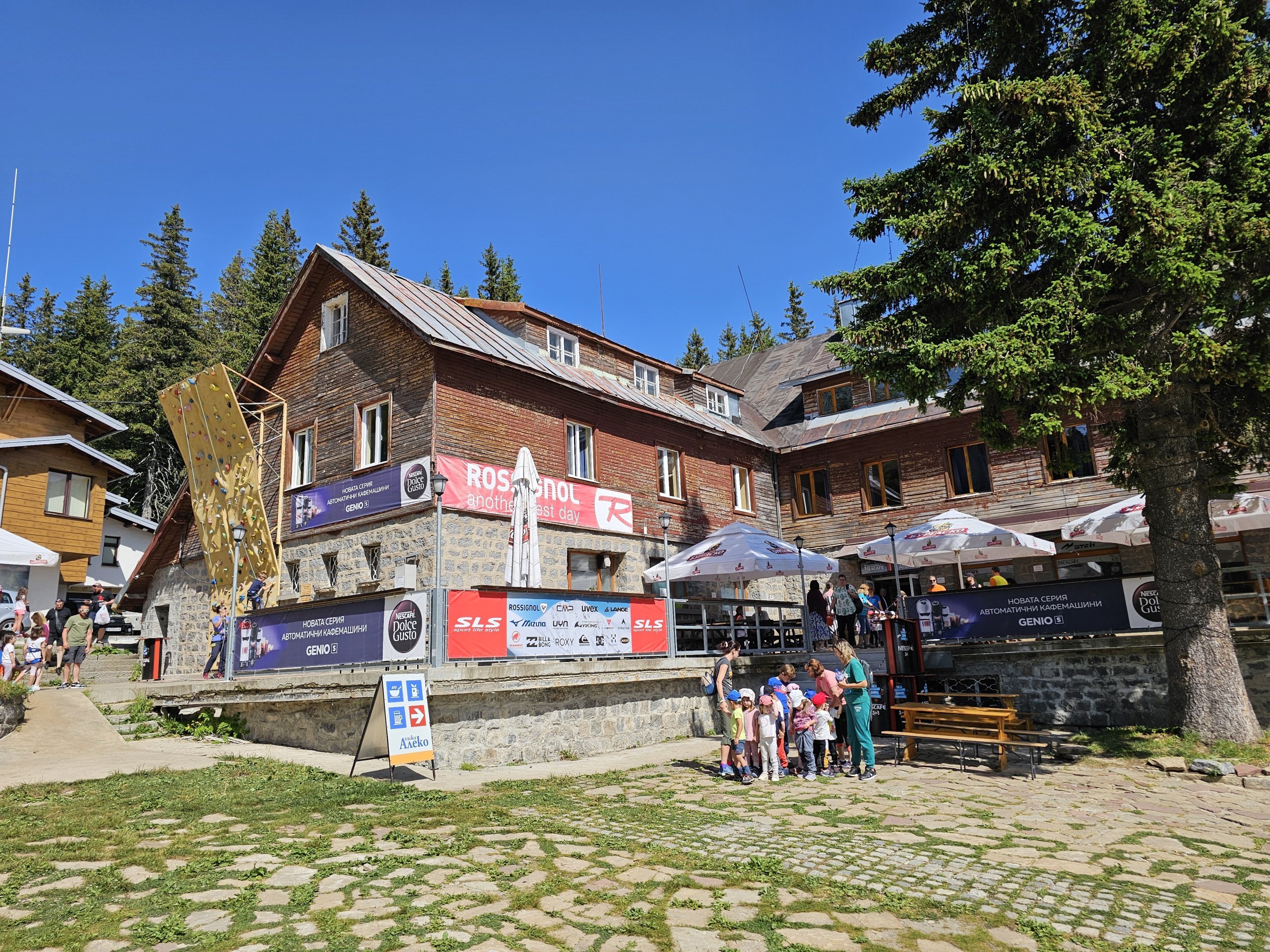
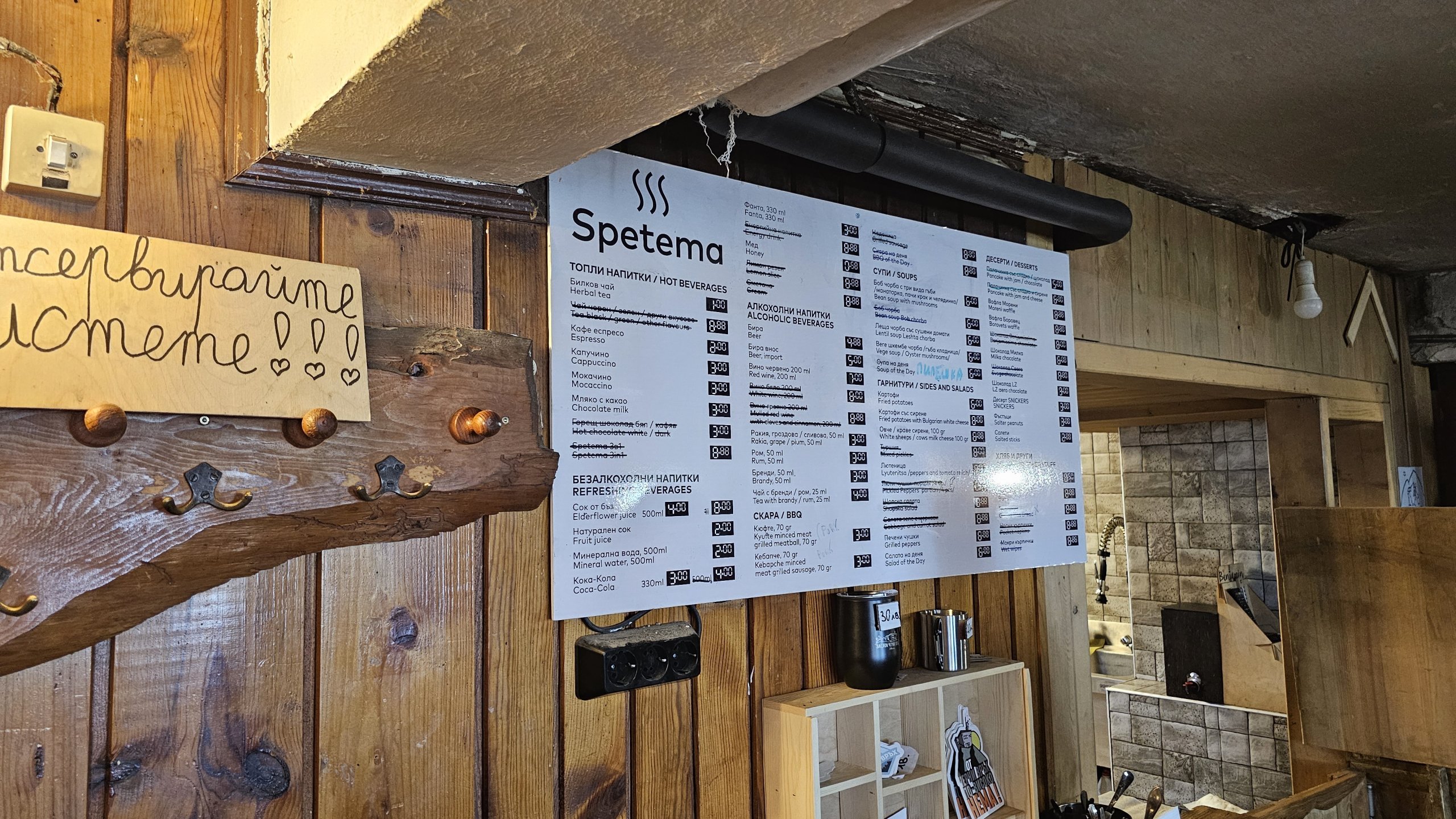
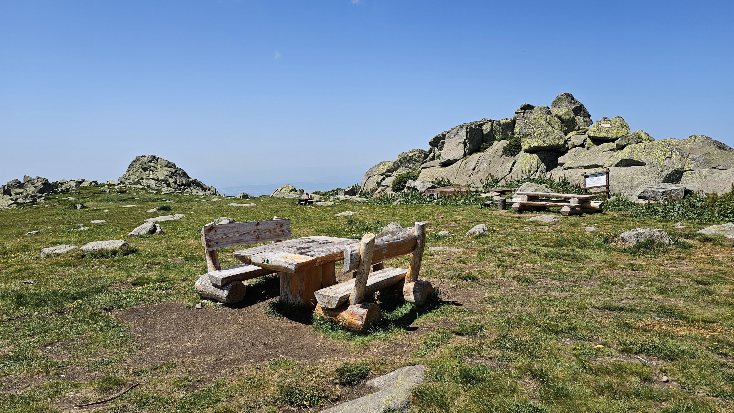
Vitosha could easily be the main focus of your trip to Sofia, as you can easily spend several days just exploring the local hiking trails.
If you’d like to stay in the city right next to a huge shopping centre, yet just a few metres from the bus stop for route 66 and Vitosha metro station, stay at this Fashion *** hotel.
Discover all the places to see in Sofia.
If you have any questions or comments about the article...

Bus 66 is extended by one stop to the Aleko Hut "Hiza Aleko". On weekends it runs every 30 minutes in the morning and afternoon, between approximately 12:00 and 14:00 it has an interval of 40 minutes
Thanks for the updated info!



The underground station served by bus no. 63 is called Tsar Boris III, not Krasno Selo.
Thanks for the update. Is this something new? I can still see Krasno Selo on the official metro map, and on Google Maps too, for the time being.
I don’t know, perhaps they’ve changed it.