MEGA HIT: Thailand, Malaysia and Singapore from Vienna with Etihad
244 €



The High Line public park is situated on a former railway line elevated above ground level. It is located between Gansevoort Street and West 34th Street, and between 10th and 12th Avenues.
It was established in 2009 as part of a regeneration project for West Manhattan and serves as a model for many similar projects around the world – such as Chicago’s Bloomingdale Trail
Top hotels with views of New York
It comes highly recommended by many travellers, so you really shouldn’t miss out on a stroll through this park.
Our recommendations
The elevated park is built on a former railway embankment, which runs at a height of around 7–10 metres above street level. The High Line Park is currently 2,300 metreslong andwas opened in 2011; its width varies along its entire length but is generally around 10 metres.
In some sections, the old railway tracks have been deliberately left in place, with a variety of plants growing between them; in others, new areas have been created featuring benches, a beautiful lawn and flowerbeds.
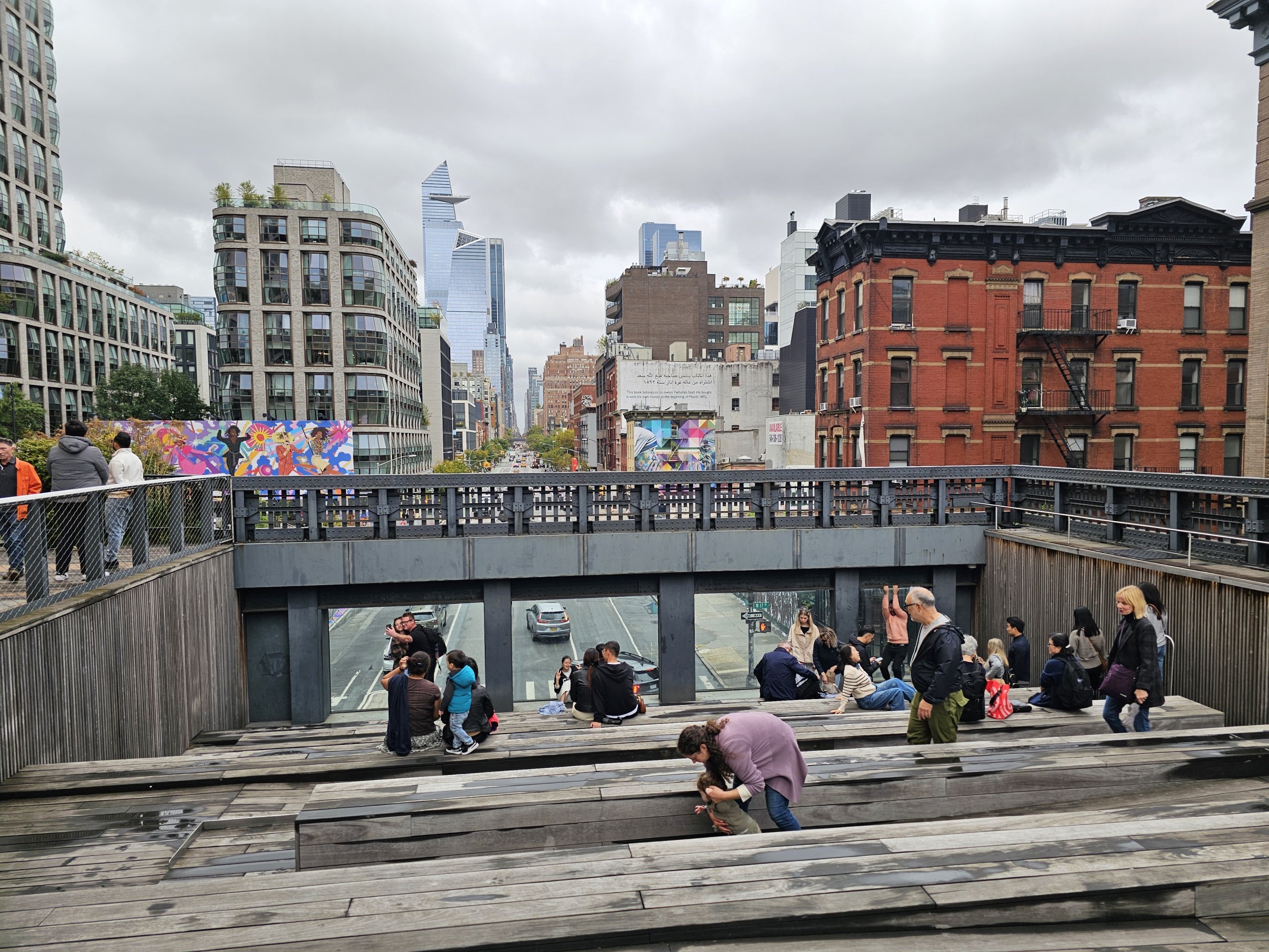
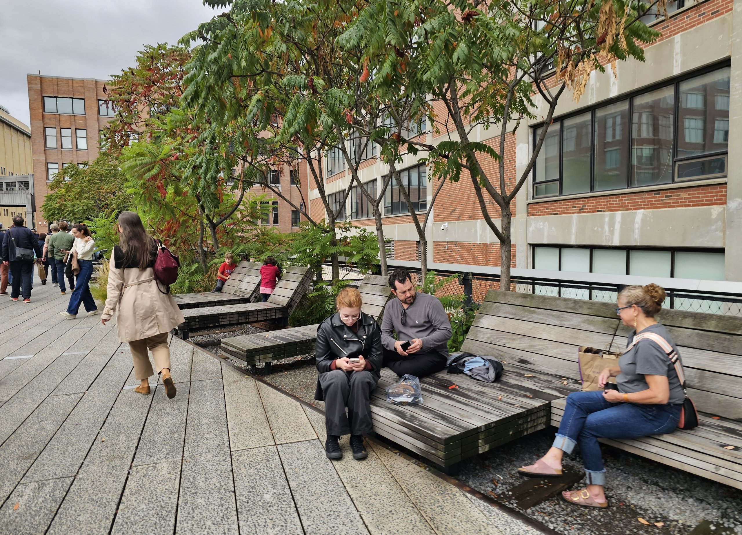
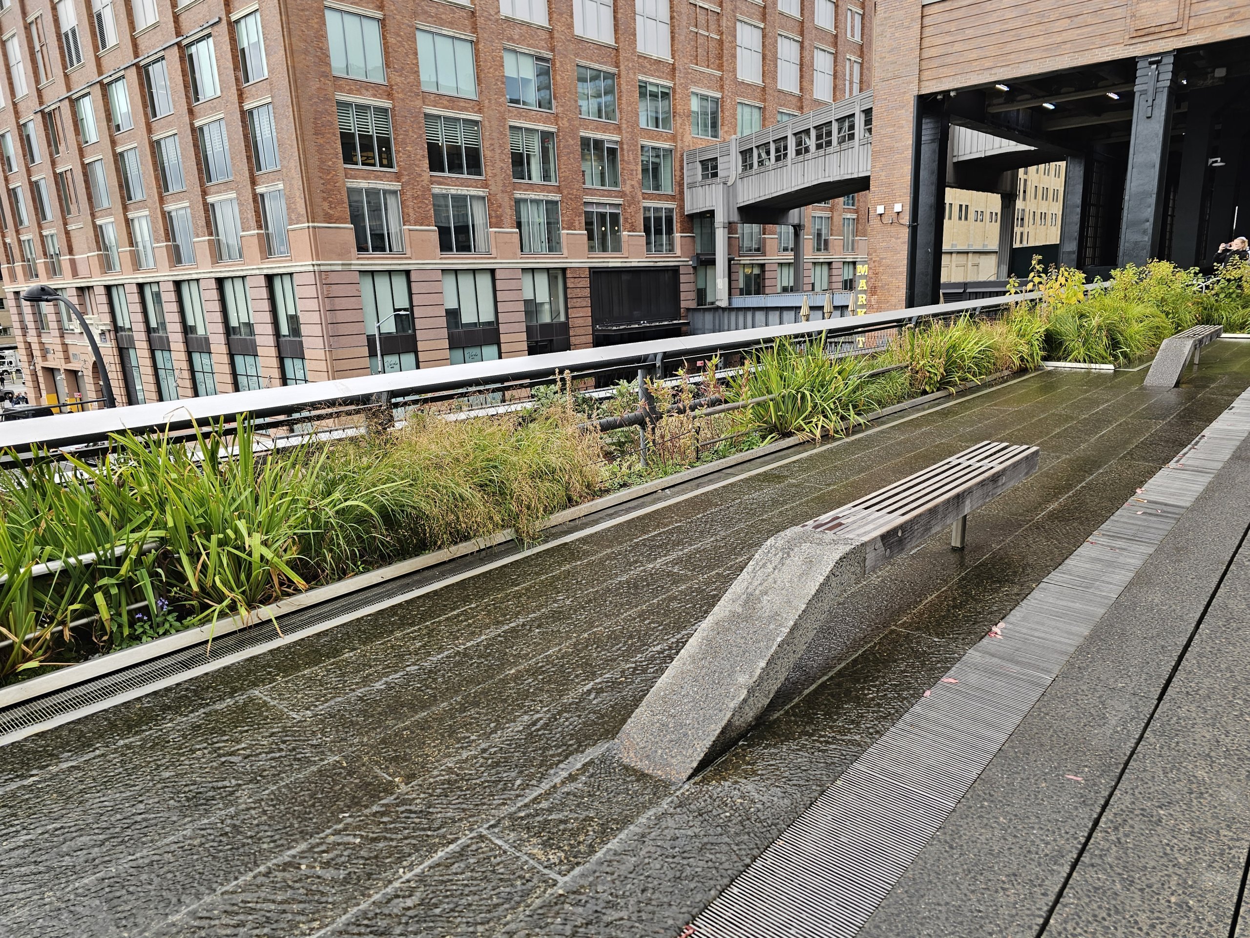
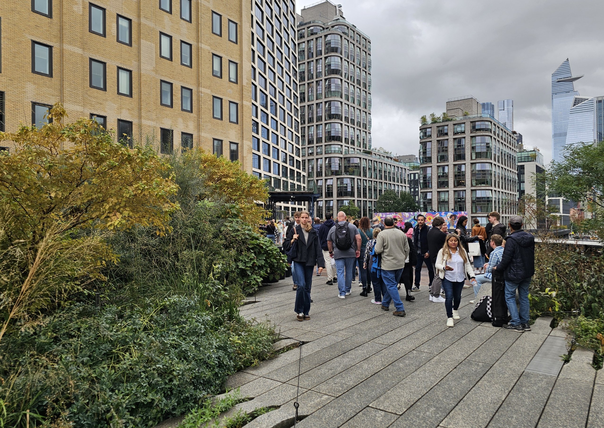
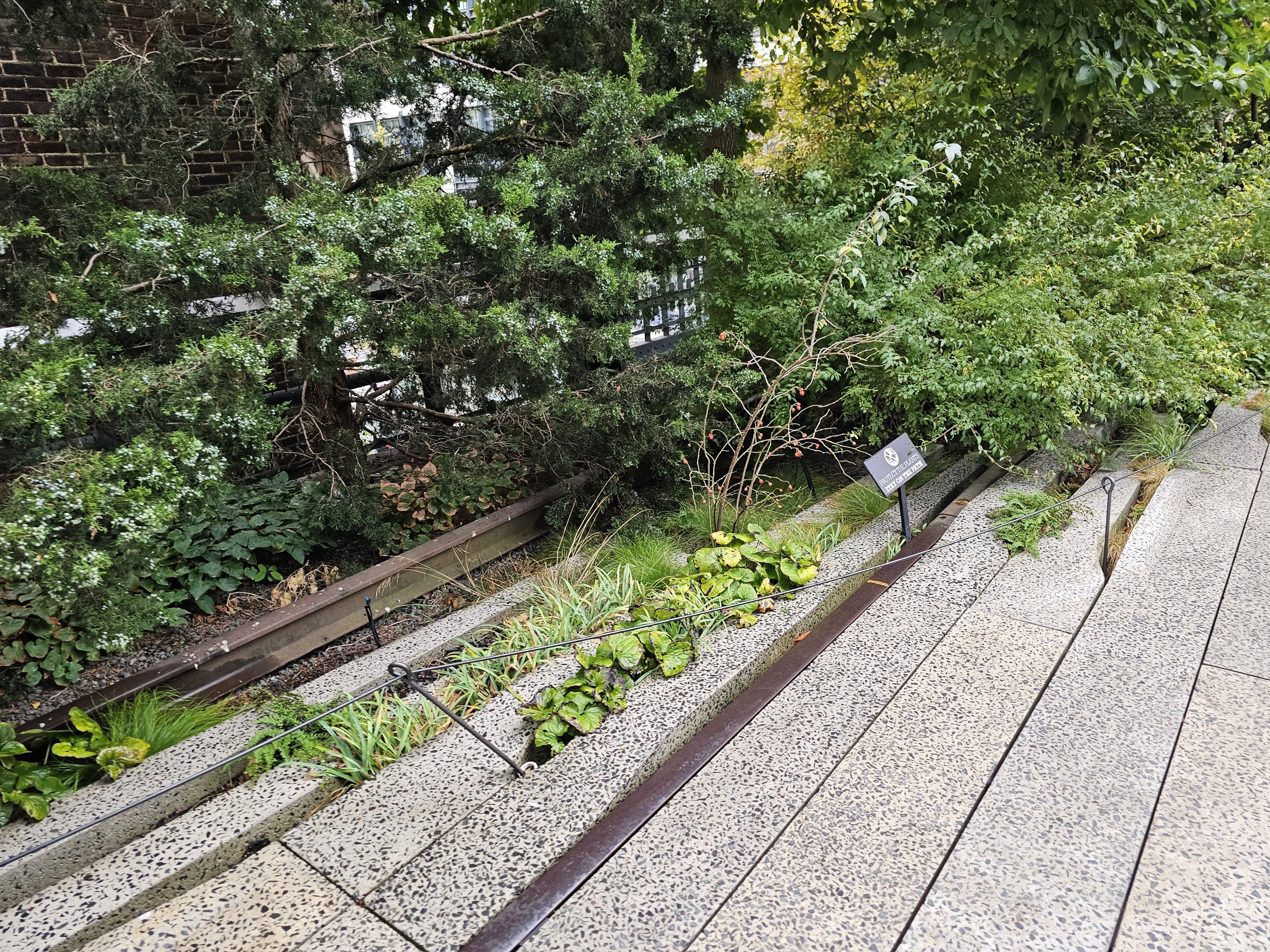
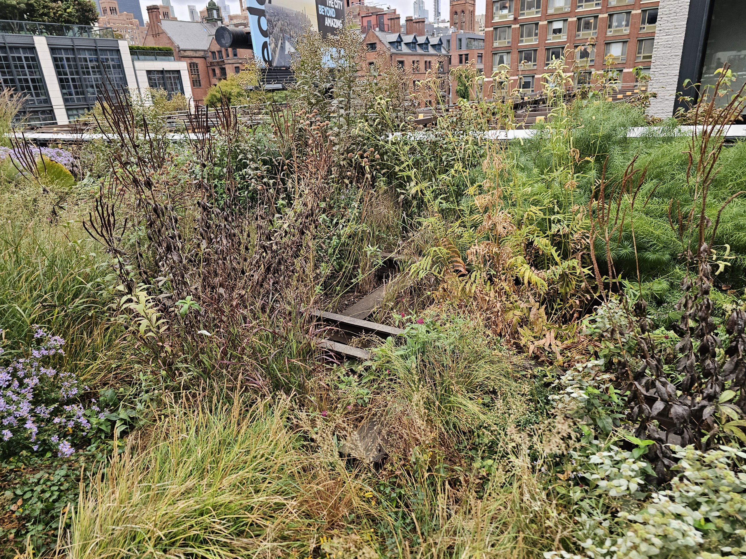
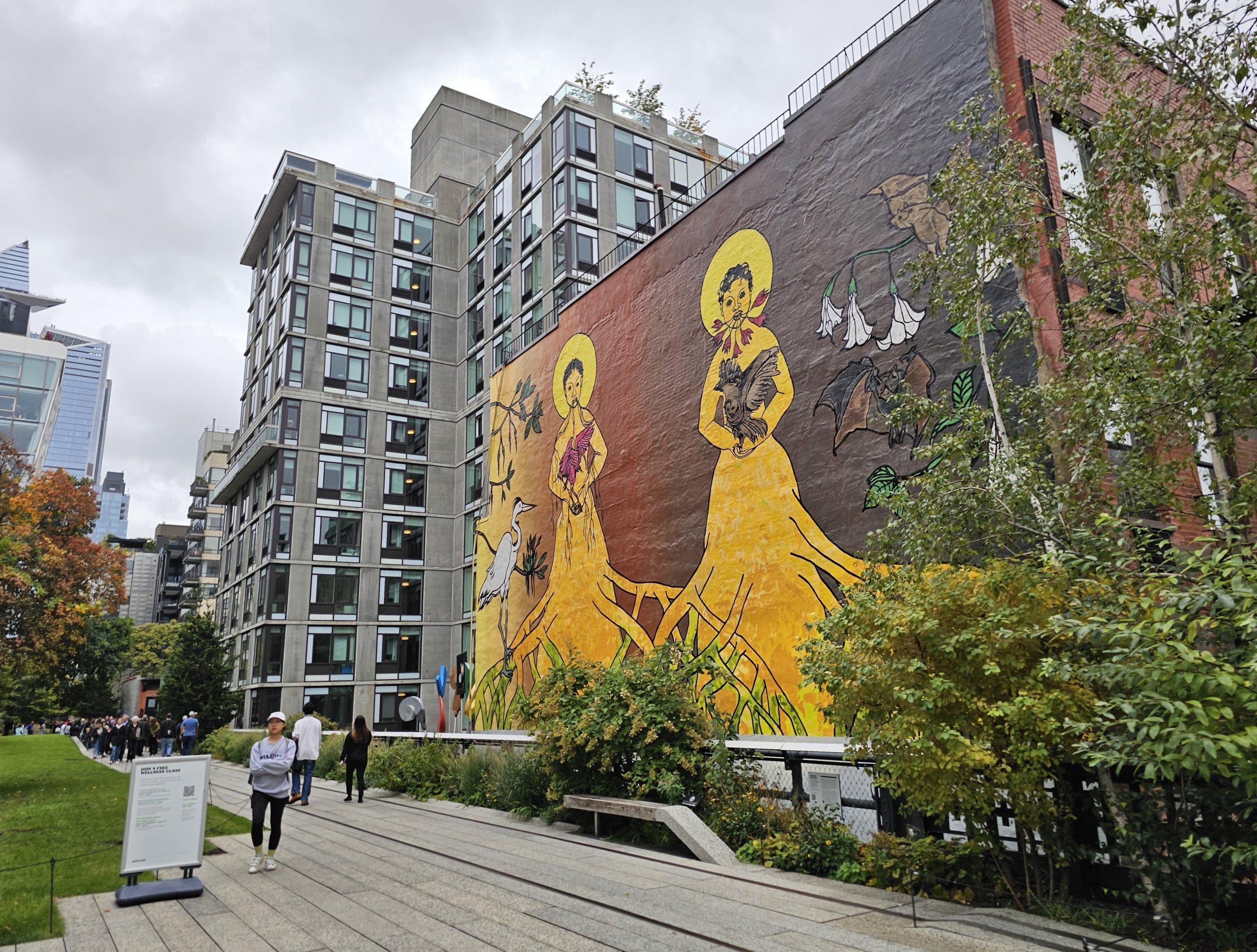
The High Line is a public park and can therefore be visited free of charge.
It opens at 7 am and, for most of the year, remains open until late in the evening, until 10–11 pm; in winter, it closes at 7 pm.
Official website:thehighline.org/visit
At the southern end, the High Line runs right through the centre of The Standard, High Line hotel.
We stayed at this hotel and I’ve written a review of my stay.
There are other hotels along the High Line as well:
The High Line Park runs along the western side of Manhattan, and the easiest way to reach either end is by the Underground.
The nearest station to the northern end of the park:
The nearest stations to the southern end of the park:
Discover all the places to see in New York.
If you have any questions or comments about the article...