
Trieste from Prague in October: one-week breaks and long weekends
35 €



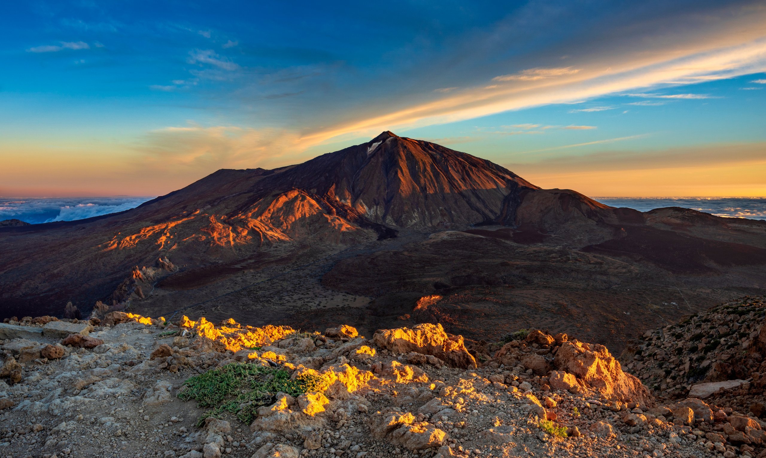
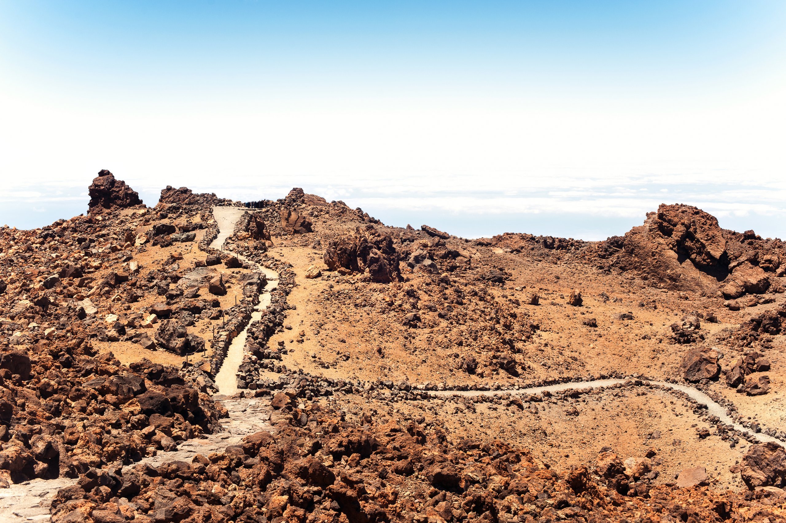
One of the most popular tourist destinations, which you definitely shouldn’t miss when visiting Tenerife, is a hike up Spain’s highest mountain, Pico del Teide (3,718 m), which is also an active volcano and a natural symbol of the whole island. Believe us, if you make the trip here, you certainly won’t regret it. The unique lunar landscape, full of lava formations and sulphurous springs, is well worth seeing, as are the breathtaking views of the ocean and the snow-white clouds.
Book your accommodation in Tenerife now
The imposing El Teide is situated roughly in the centre of the island, within the national park of the same name, which covers 36 per cent of the island. When heading to the summit, bear in mind that you may experience altitude-related issues (headaches, shortness of breath, intense sunlight).
The summit of Pico del Teide is a truly unique location; access to it is therefore strictly restricted, and you must obtain a permit via the national park’s official website:reservasparquesnacionales.es.
The permit is issued free of charge, but due to the huge demand, it is necessary to book it well in advance.
Permits are usually snapped up 2–3 months in advance! A permit is only required for the final 700-metre section of the route from the top station of the cable car to the summit, known as ‘Telesforo Bravo’ – see the route map.
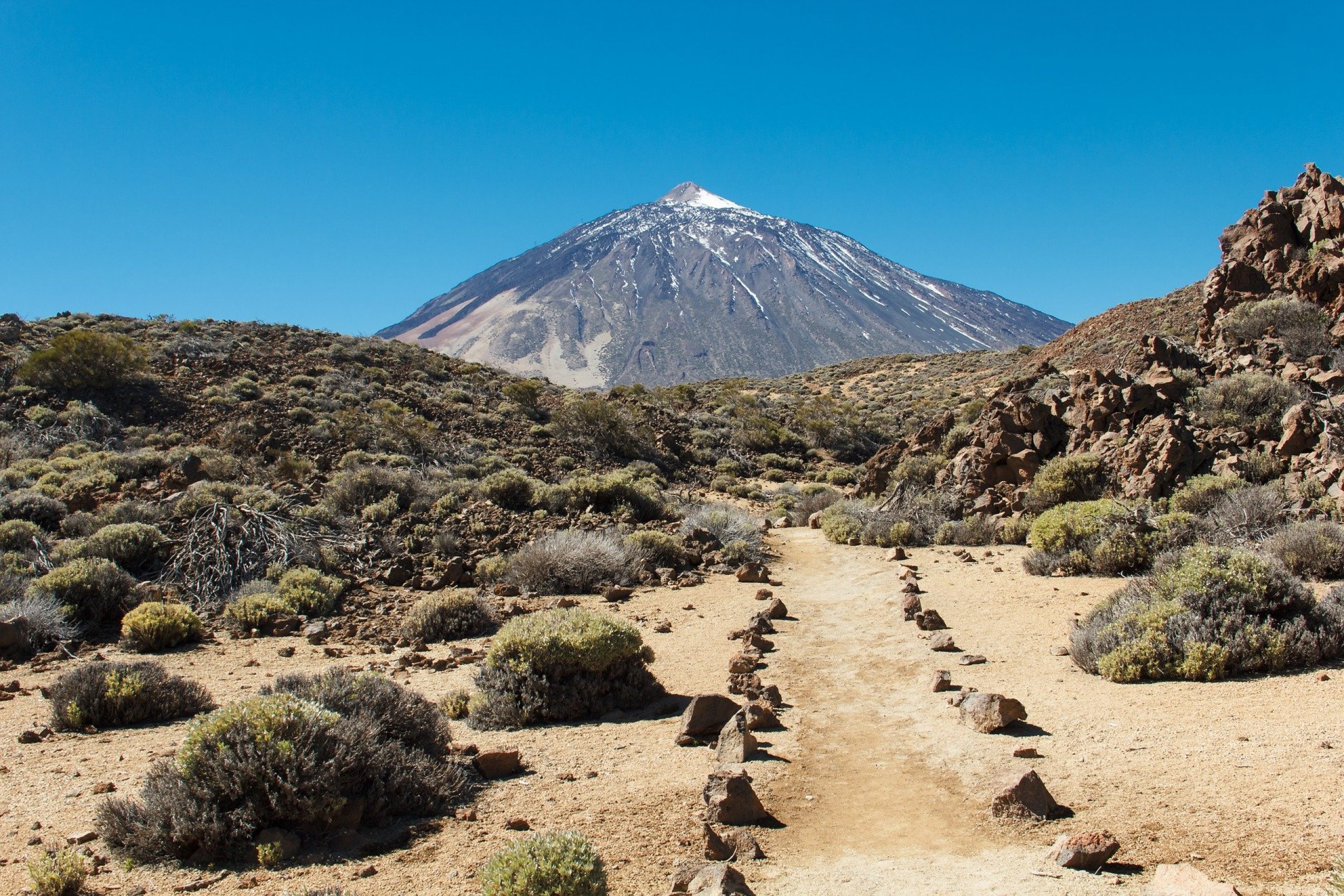
There is only one main walking route to the summit of Pico del Teide. However, you can also take other, less busy routes.
From 2024, bookings and registration will be required for all the routes listed below.
Bookings are free of charge, but they are often unavailable more than a month in advance!
You can register and obtain permission to access the routes on the official websitetenerifeon.es.
The starting point is at the car park at a place called Montaña Blanca. The car park is very small, and people often park in the spaces available along the road.
The climb is fairlychallenging, but a reasonably fit hiker can manage it without any special equipment. However, good-quality, sturdy walking boots are essential. The first half of the route (approx. 4 km) is easy going and only slightly uphill along a gravel track. The second half is steeper and very rocky, with a fairly narrow, well-trodden path. However, there are no particularly dangerous sections to worry about.
After about 8.5 km, you’ll reach the top station of the cable car, from where it’s just a 700-metre stretch to the summit. At the start of this section, national park rangers always check permits.
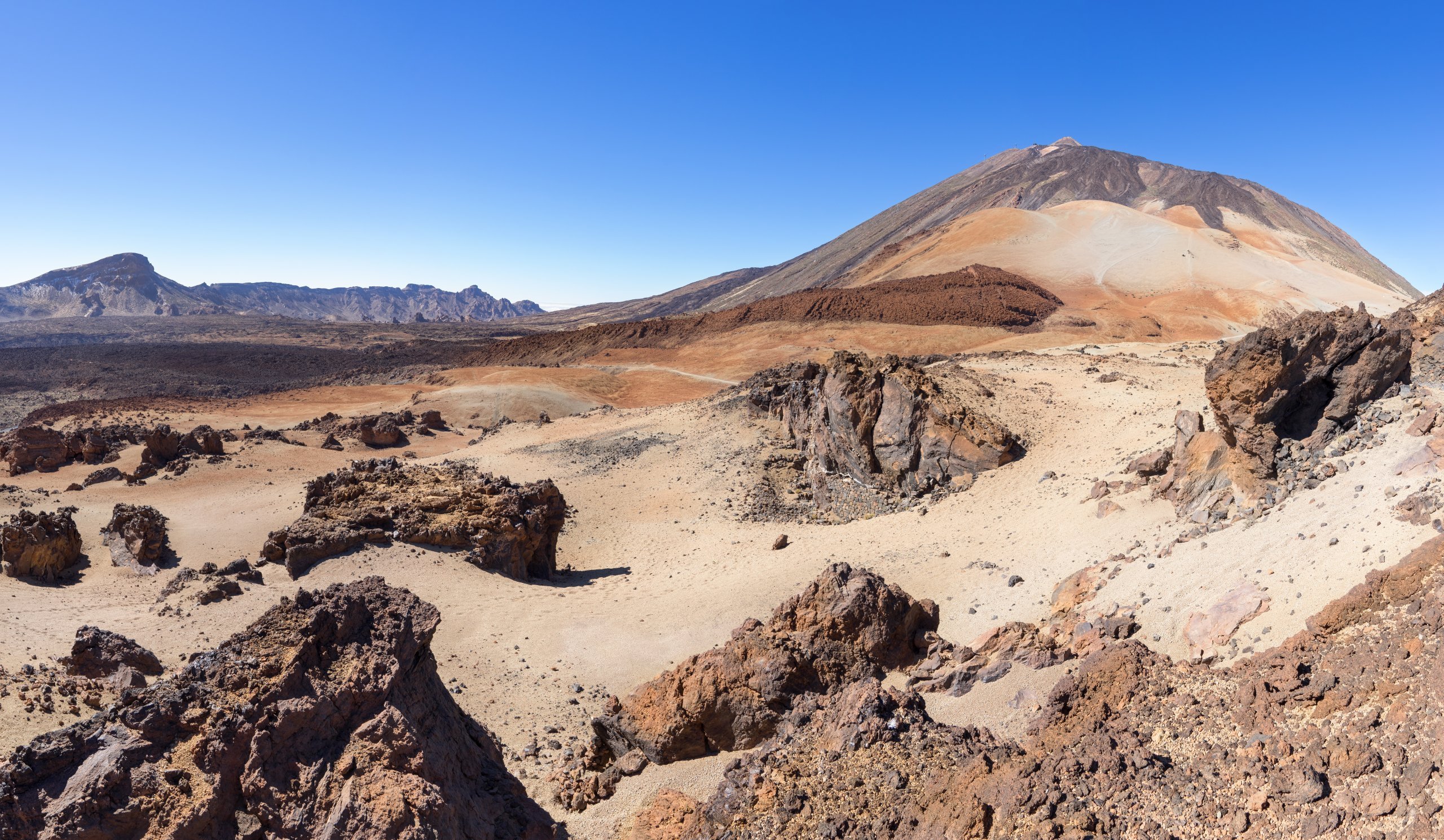
The second route leads from the La Catedral rock formations on the other side of the mountain, round the summit of Pico Viejo. It is longer and gentler, but passes through more challenging terrain, where the path often disappears amongst the rocks and is sometimes neither visible nor marked at all. For this reason, too, this route is significantly less frequented.
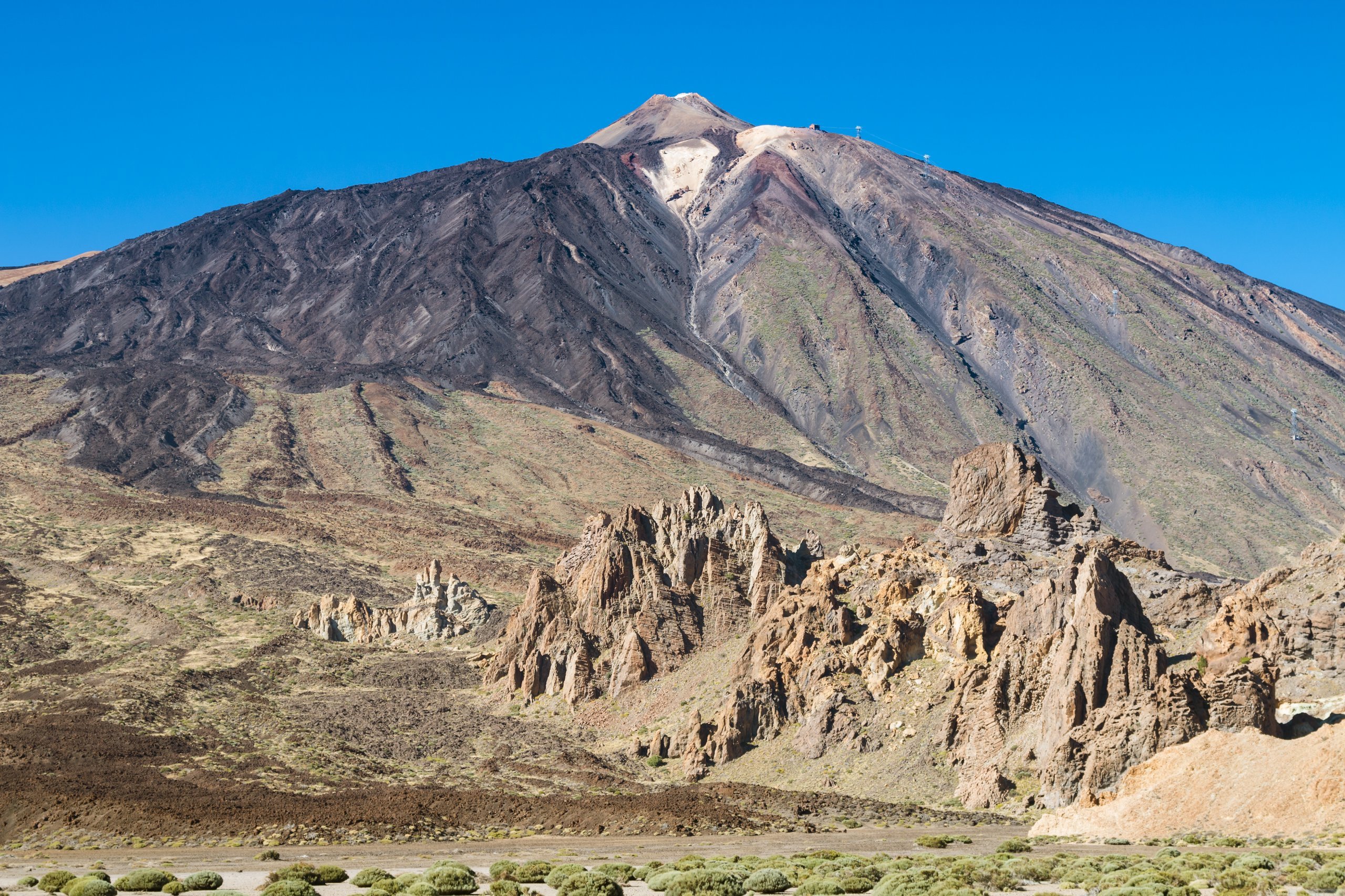
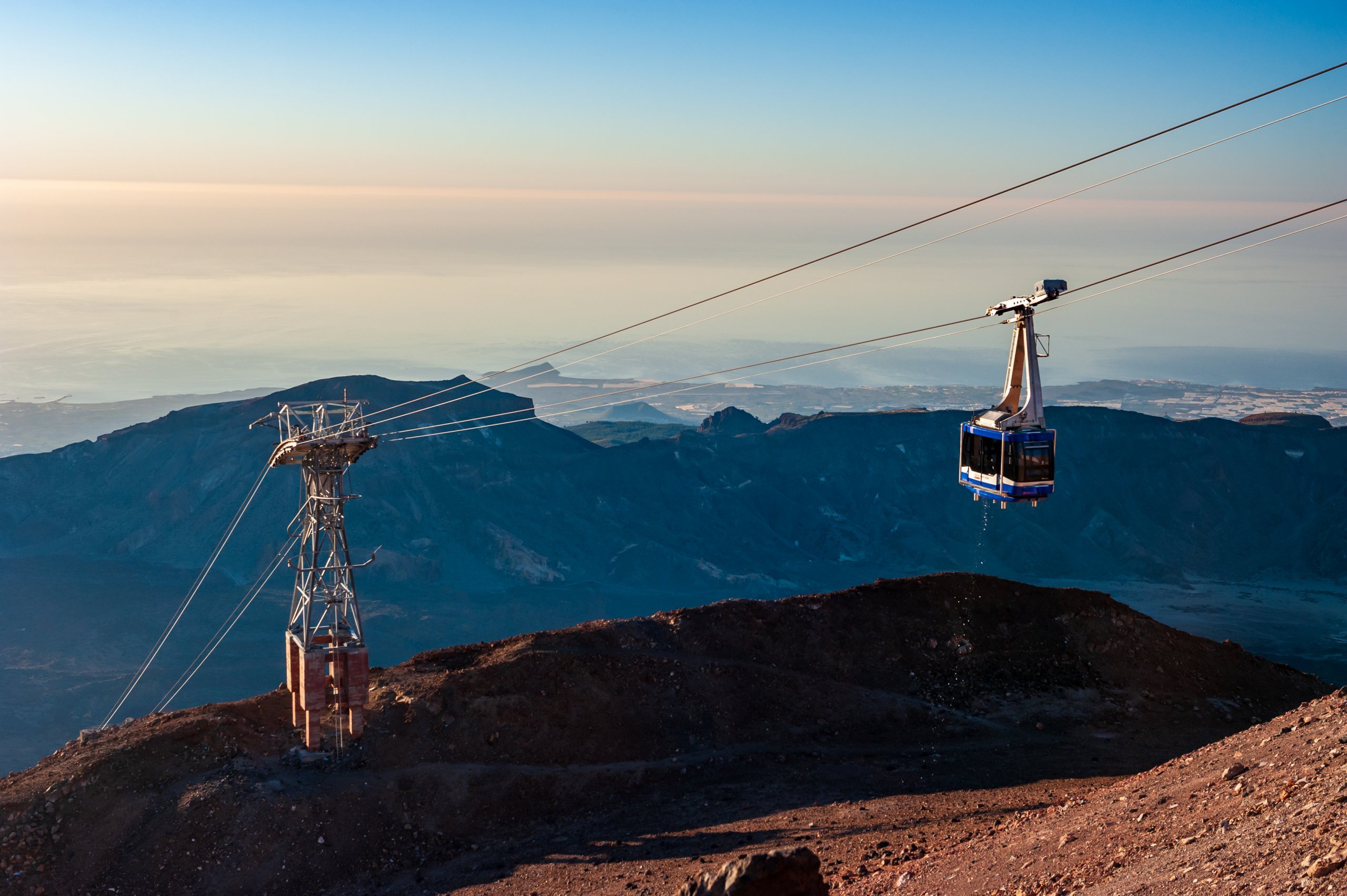
You can reach an altitude of 3,555 metres by cable car, which you can access by car or by bus number 342. The lower station of the cable car is situated at an altitude of 2,356 metres, and a pair of modern cabins cover the entire route to the summit in just under 8 minutes.
The cable car operatesdaily throughout the year:
Ticket prices areas follows:
Seats are limited and cable car tickets can only be purchased online via the cable car’s website:volcanoteide.com.
The time spent at the cable car’s upper station is limited to 1 hour for all passengers; if you have booked a permit for the walk from the cable car to the summit (approx. 1.5 km in total), then your stay is limited to 2 hours.
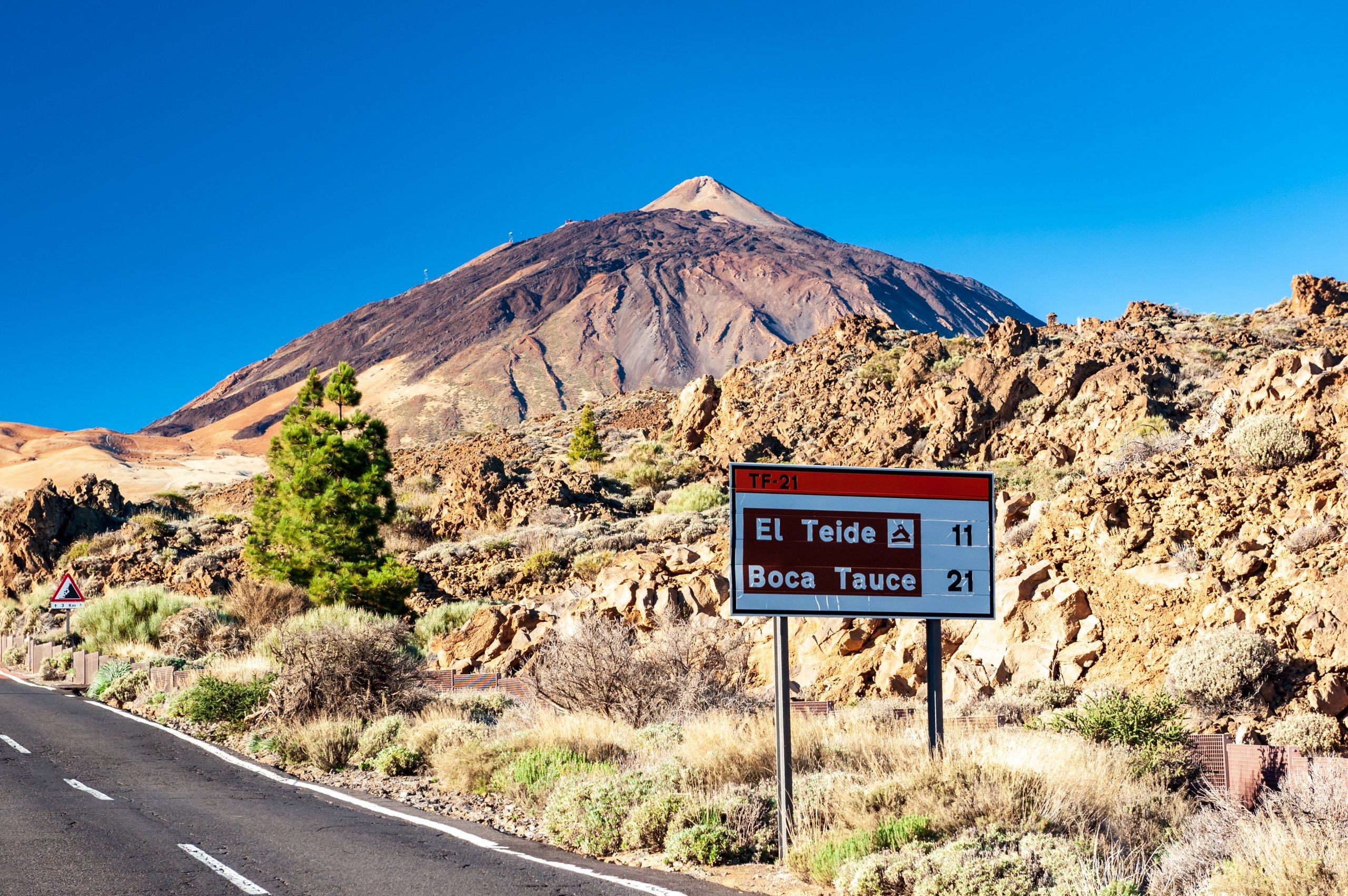
The easiest way is by car along the TF-21 road, which runs along the southern slope of Pico del Teide, past the cable car’s lower station and both starting points for the hiking trails to the summit. The largest car park is available at the cable car’s lower station; all car parks in the area are free of charge.
You can also get here by bus, but each route runs only once a day (there in the morning, back in the afternoon):
You can find detailed information on travelling by hire car and by bus in the Transport section.
If you’re heading to Teide on foot, you might find it useful to stay somewhere near the mountain. The Refugio Altavista mountain hut is located not far from the cable car’s top station, but you’ll need to book by email at least 2–3 months in advance.
The nearest traditional accommodation options, in the form of higher-end hotels, are:
Discover all the places to see in Tenerife.
If you have any questions or comments about the article...



Hi, from the end of November 2024 you have to book the cable car, see link.....
https://www.tenerifeon.es/en/upd...nd-council