Istanbul from Prague, Bratislava and Vienna with Pegasus Airlines
58 €



Oslo’s main river, the Akerselva – a relatively small waterway hidden from tourists – flows mainly through residential neighbourhoods, and very few foreign visitors make their way to its banks.
Within Oslo, the river begins at the Maridalsvannet drinking water reservoir and winds its way through the city for 8 km until it reaches the Oslo Fjord. The last few hundred metres of the river run through an artificial channel beneath the historic centre and are hidden underground.
Set off on a long walk, ideally following the entire course of the Akerselva.
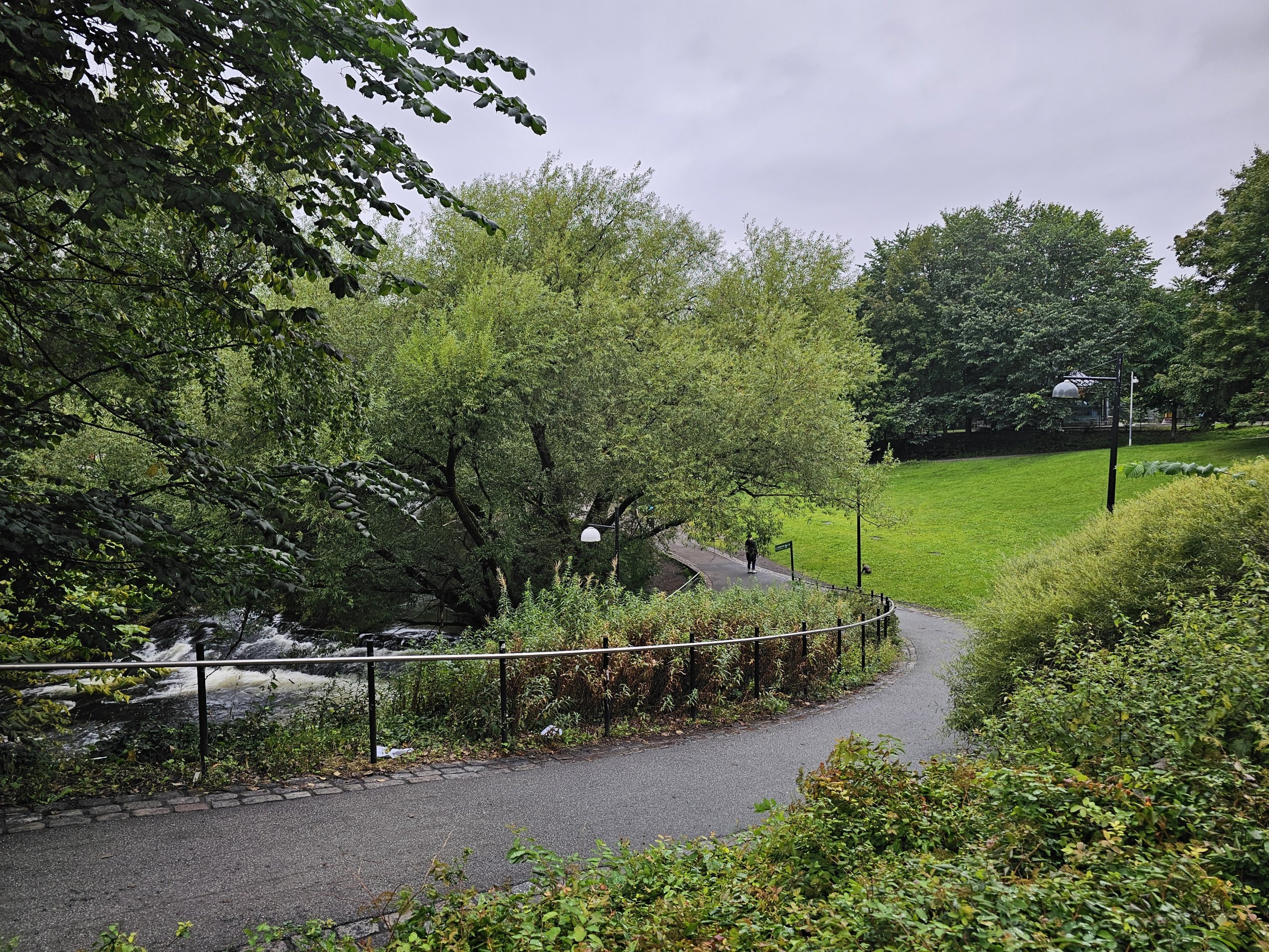
The uninterrupted walking path, dotted with numerous parks, stretches for 8 km. It’s best to start in the north, as you’ll then be walking downhill all the way.
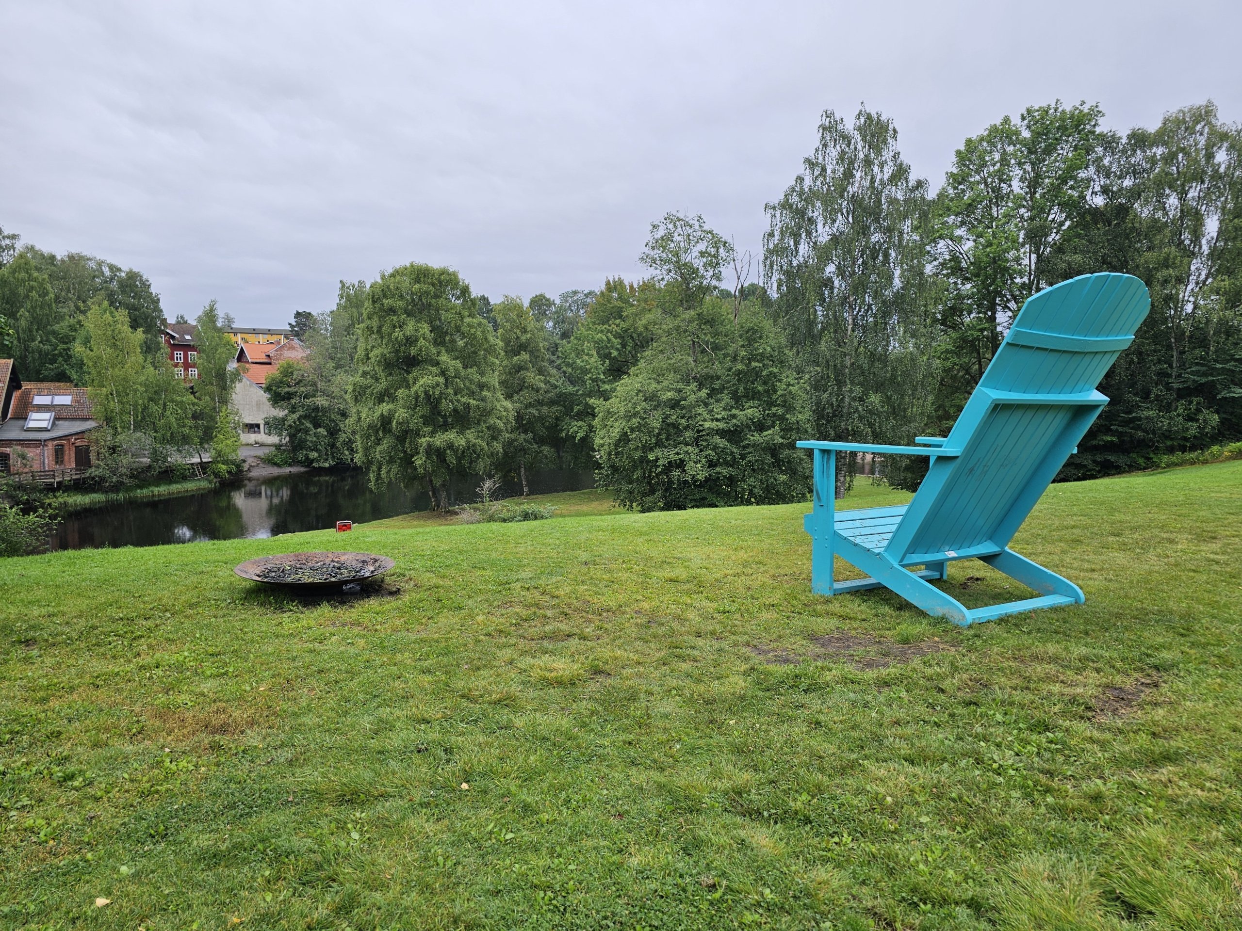
Along the river there are numerous parks, waterfalls and beautiful historic footbridges.
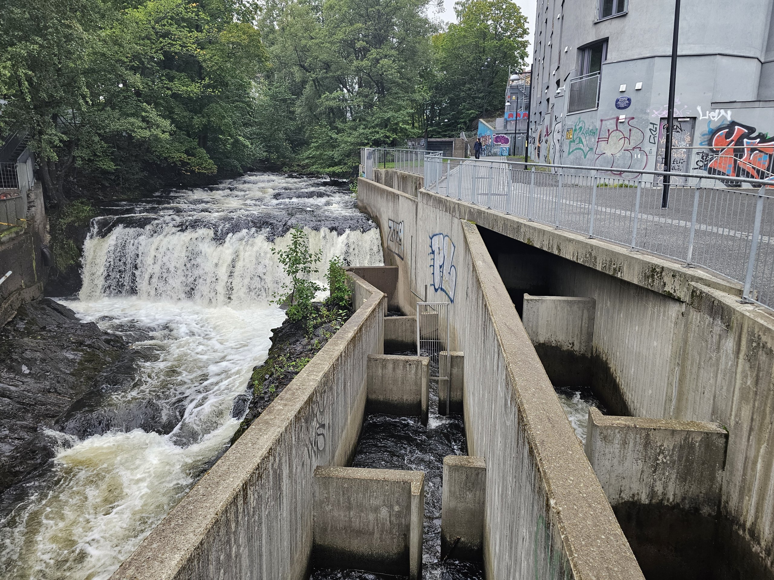
Also of great interest are the fish ladders – special concrete channels that lead around waterfalls and weirs to allow fish (particularly salmon) to migrate upstream along the entire course of the river.
Discover all the places to see in Oslo.
If you have any questions or comments about the article...