Map and geography of Sint Maarten


Looking for the location of St. Martin on the map? Find out all geography trivia about Saint Martin.
Compare flight prices to St. Martin
Where is Saint Martin?
The island is located approximately 18° above the equator. St. Martin's nearest neighbours are the islands of Anguilla, St. Barthelemy and Saba.
St. Martin lies about 250 km east of Puerto Rico.
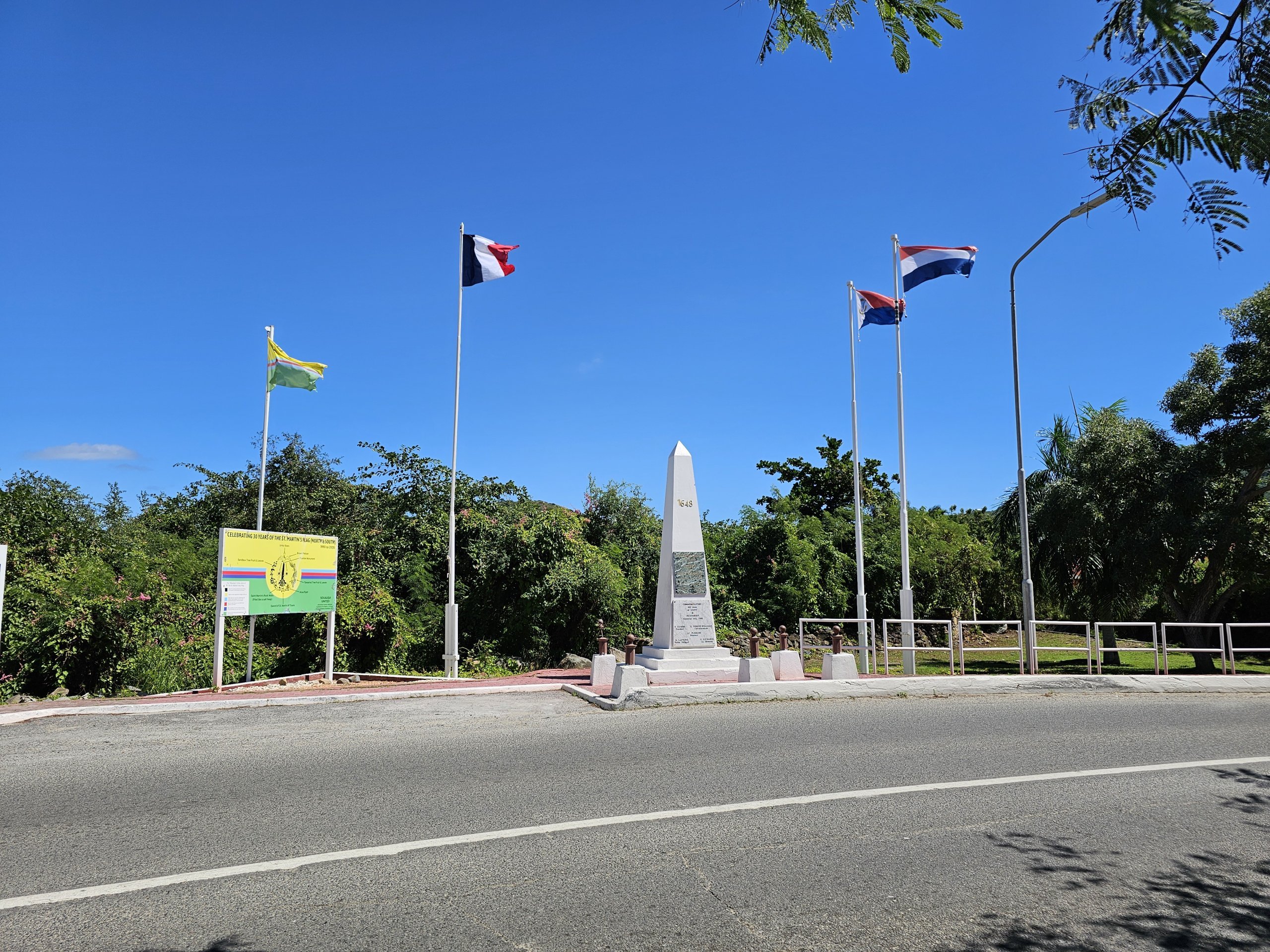
The division of the island of St. Martin
The island is divided into two parts: a Dutch part called Sint Maarten and a French part called Saint-Martin.
While the Dutch part is busier and more commercial, the French part is quieter, more intimate and less populated.
The French part is larger and makes up about 60% of the island, but only 40% of the population lives there.
- The capital of the Dutch part - Philipsburg
- The capital of the French part - Marigot
The border is marked at all points where roads cross it, but passage for all cars and pedestrians is completely unrestricted.
Online map of St. Martin
Check out several maps of St. Martin to easily find out where to stay, where the greatest concentration of attractions or hiking trails are.
Geography
Saint Martin is a hilly island, but the highest mountains only reach heights between 300 and 420 metres.
The coastline is rugged with many shallow and small bays, and the westernmost part, where SXM airport is located, is made up of two elongated peninsulas, which were artificially created into an island by digging water channels into the Simpson Bay lagoon.
Most of the island's surface is either towns or forested mountains.
The northern and eastern parts of the island lie in the lee of the mountains and are considerably drier.
St. Martin in numbers
To conclude this chapter, we also present some interesting geographical records of St. Martin.
- The highest mountain - Pic Paradis (418 m above sea level) - French part
- The highest mountain in the Dutch part - Sentry Hill (340 m above sea level)
- The longest river - there is no permanent stream that can be called a river on St. Martin
- Length of coastline - 128 km
Any questions left?
If you have any questions or comments about the article...